
A slow moving front will produce a threat for heavy rainfall and severe weather from New Mexico into the western High Plains through the weekend. Heavy rainfall is also expected this weekend in South Florida. The Bering Sea storm continues to bring heavy precipitation, strong winds, and minor to major coastal flooding through the weekend across western Alaska. Read More >
Last Map Update: Sun, Oct 25, 2026 at 11:02:44 am CDT


|
Local Weather History For October 25th...
|
|
A rare, early season snow storm struck northwest parts of Oklahoma
and the Texas Panhandle on the 24th and 25th of October, 2019. Up to 13 inches of snow fell near Arnett, with greater than 8 inches west and south into the eastern and central Texas Panhandle. The 13 inch snow measurement goes down as the highest 24 hour snow total in Oklahoma for the month of October. |
|
Text Product Selector (Selected product opens in current window)
|
|
 |
 |
 |
 |
 |
 |
| Observations | Discussion | Air Quality | Hydrology | FAQ | Social Media |
 |
 |
 |
 |
 |
 |
| Storm Reports | Gridded Forecast | Aviation | Climate | Storm Data | Weather Radio |
 |
 |
 |
 |
 |
 |
| Satellite | Hourly Forecast | Fire Weather | Past Events | StormReady | Storm Spotters |





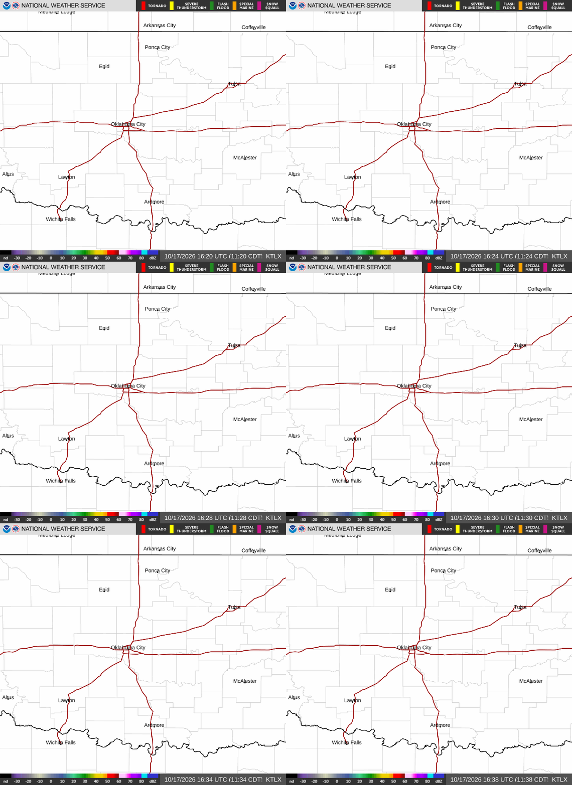 Local Radar
 Weather Map
 Drought Conditions
 Follow us on X
 Follow us on Facebook
 Follow us on YouTube
 OUN RSS Feed