
Dangerous heat will build across the Southwest U.S. through the end of the week with daytime highs of 110-115°F. Heat across the southern Plains will briefly ease to near-normal by late week before returning over much of the Plains into next week. Severe thunderstorms are expected across parts of the central and southern High Plains, central Great Lakes, and Ozarks Wednesday. Read More >
Last Map Update: Wed, Aug 26, 2026 at 4:02:39 am CDT


|
Local Weather History For August 26th...
|
|
On this date back in 2002, severe thunderstorms produced widespread
wind damage over a large part of northwest Oklahoma. Several large trees were blown down, and roof damage occurred in and around Woodward. Wind speeds as high as 80 mph were measured. |
|
Text Product Selector (Selected product opens in current window)
|
|
 |
 |
 |
 |
 |
 |
| Observations | Discussion | Air Quality | Hydrology | FAQ | Social Media |
 |
 |
 |
 |
 |
 |
| Storm Reports | Gridded Forecast | Aviation | Climate | Storm Data | Weather Radio |
 |
 |
 |
 |
 |
 |
| Satellite | Hourly Forecast | Fire Weather | Past Events | StormReady | Storm Spotters |





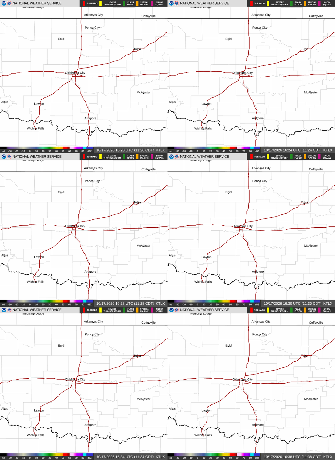 Local Radar
 Weather Map
 Drought Conditions
 Follow us on X
 Follow us on Facebook
 Follow us on YouTube
 OUN RSS Feed