
Severe thunderstorms with damaging wind gusts will be possible from the mid-Mississippi Valley into parts of the Ohio Valley and central Appalachians tonight. Heavy rain associated with these storms may lead to considerable flash and urban flooding impacts across portions of the Ohio Valley. Mid-summer heat persists from the Central Plains to the Southeast. Read More >
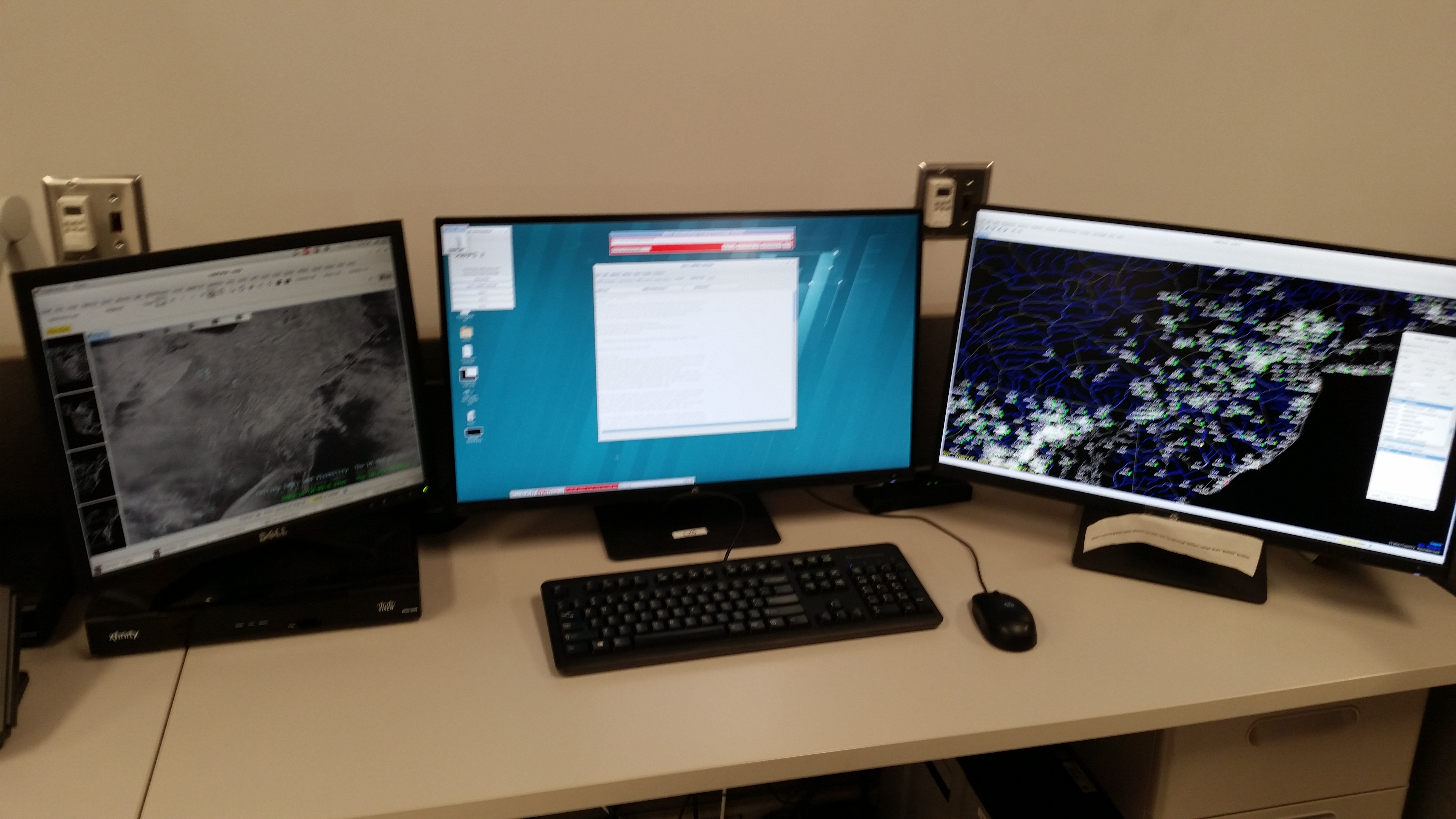
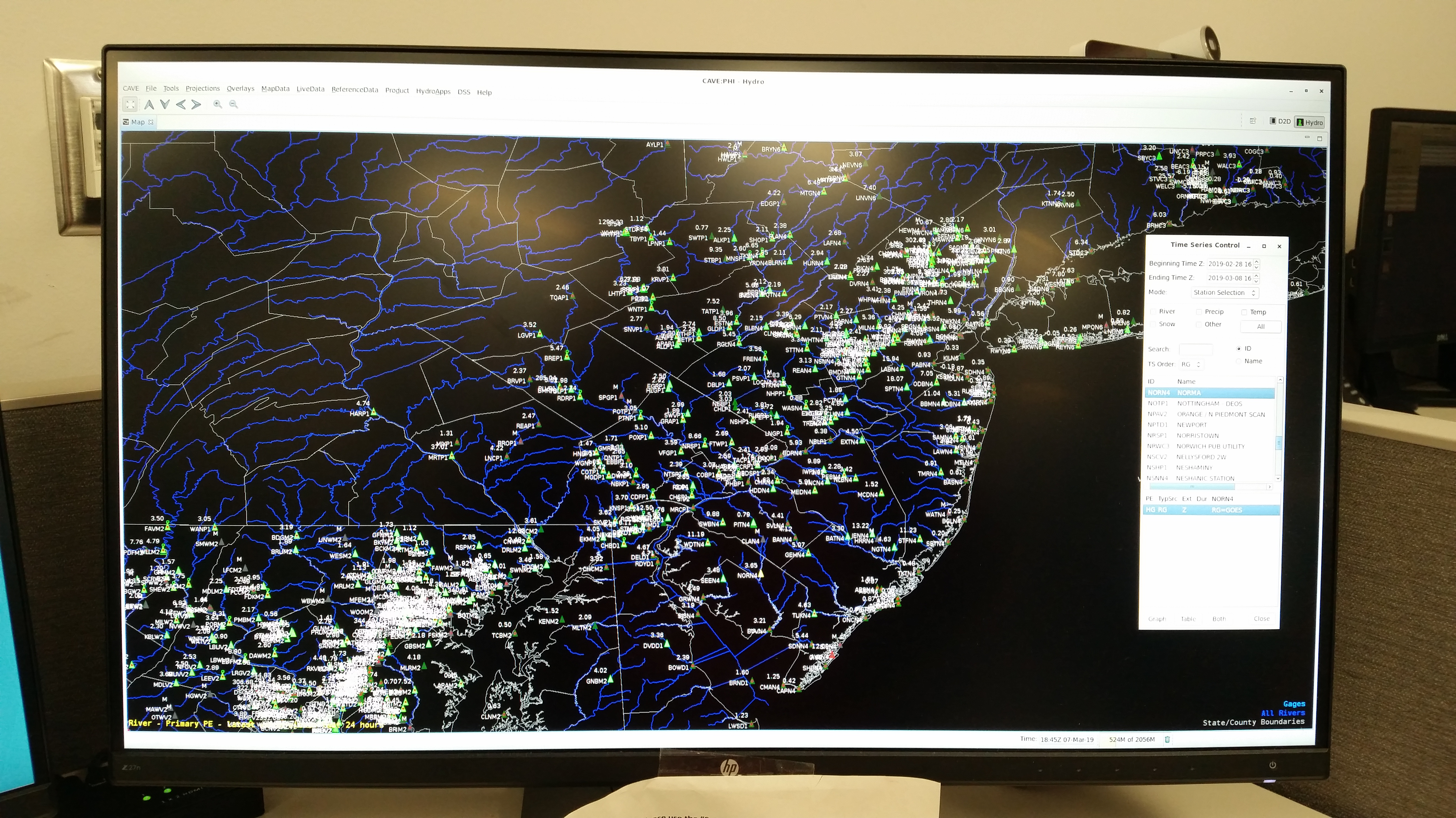
For more information, please see our Hydrology or Drought web page.
CLICK HERE to go to the next tour (Situational Awareness Display)



 Radar
Radar Current Weather
 Rivers & Lakes
 Satellite
 Forecast Maps
 Hour by Hour Forecast
 Tropical Weather
 Graphical Hazards
 Coastal Flood
 Marine Forecasts
 Text Products
 Climate Information
 Skywarn
 Submit Storm Report
 Weather Event Archives
 Forecast Discussion
 Emergency Managers
 Briefing Page
 Follow us on X
 Follow us on Facebook
 Follow us on YouTube
 PHI RSS Feed