
Severe thunderstorms capable of damaging winds will be possible from the Ozark Plateau east into portions of the Southeast today. Rounds of heavy thunderstorms ahead of a slow moving front will continue locally heavy rainfall and scattered flash flooding potential from the Ozarks to the Ohio and Tennessee Valleys today. Read More >
For more information, please see our Hydrology or Drought web page.
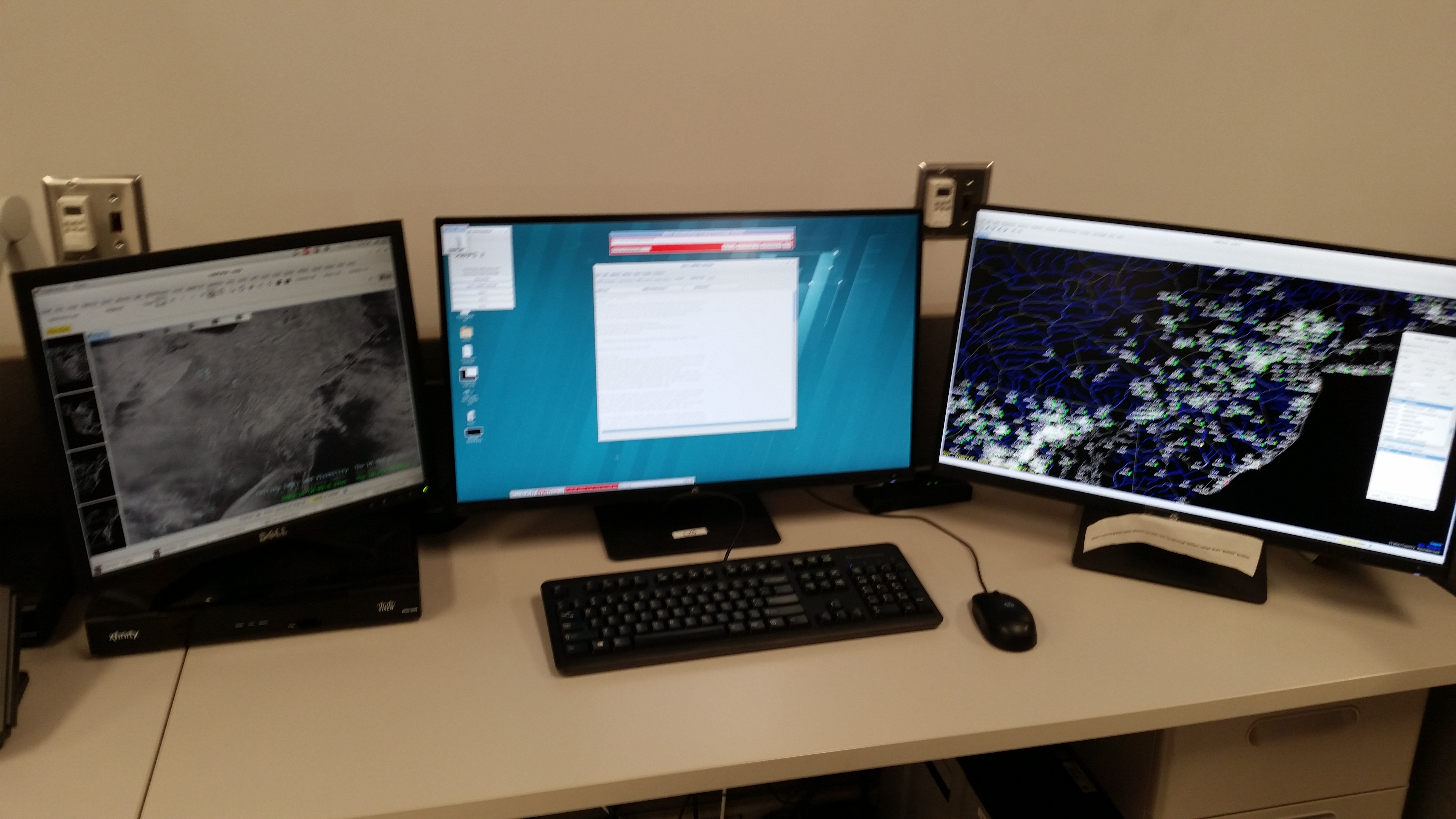
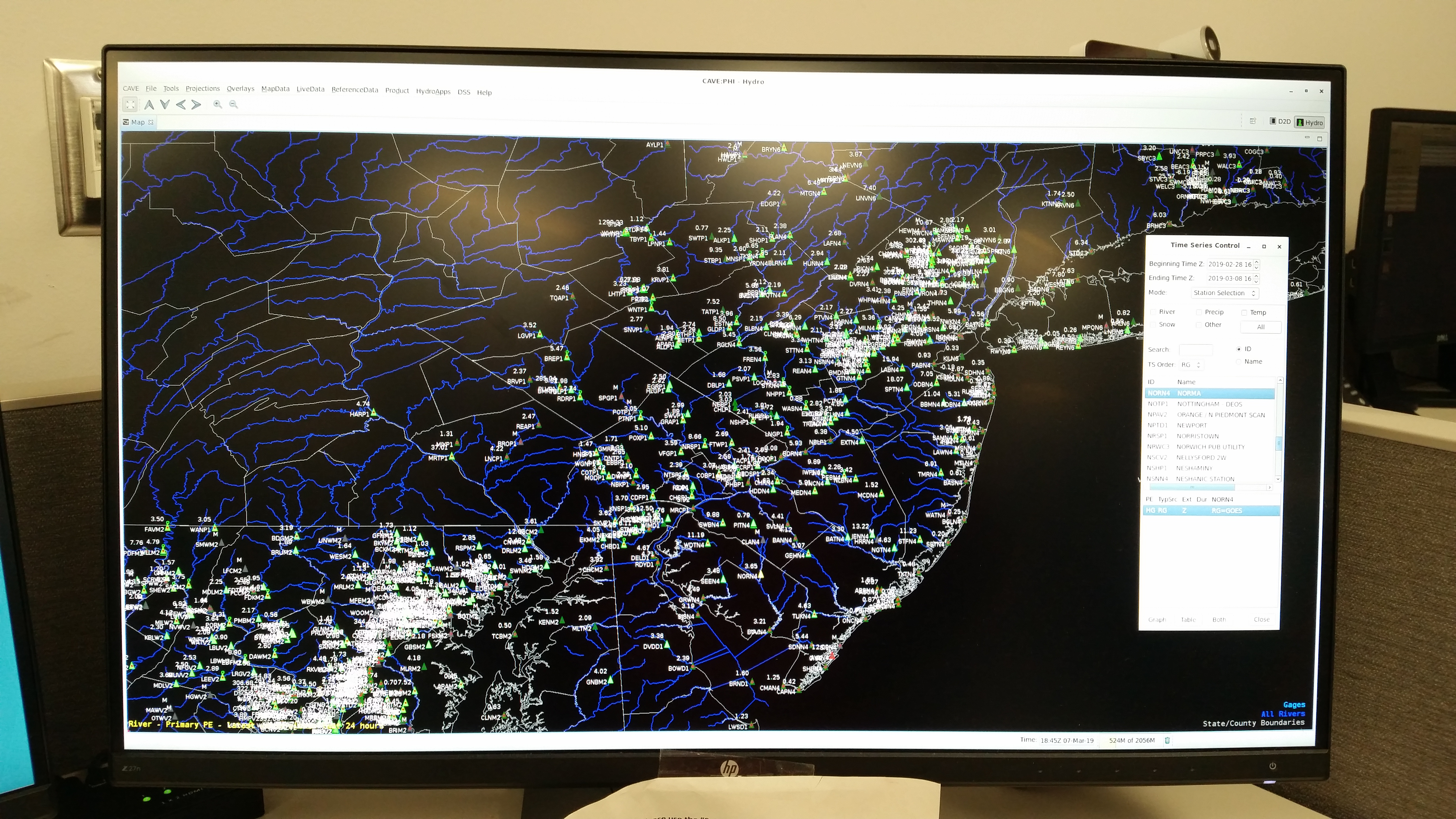
CLICK HERE to go to the next tour (Situational Awareness Display)


 Coastal Flood
 Marine Forecasts
 Text Products
 Climate Information
 Skywarn
 Submit Storm Report
 Weather Event Archives
 Forecast Discussion
 Emergency Managers
 Briefing Page