                                             Storm Summary for Superstorm Sandy

Preliminary estimates suggest Sandy was the second-costliest Atlantic hurricane on record (behind Hurricane Katrina).
More than 120 people perished from the effects of Sandy, approximately 24 in the Mount Holly County Warning Area
(CWA) alone. Dollar estimates of damage to homes and infrastructure range into the billions of dollars in New Jersey,
with over nine million dollars of damage reported in Delaware.

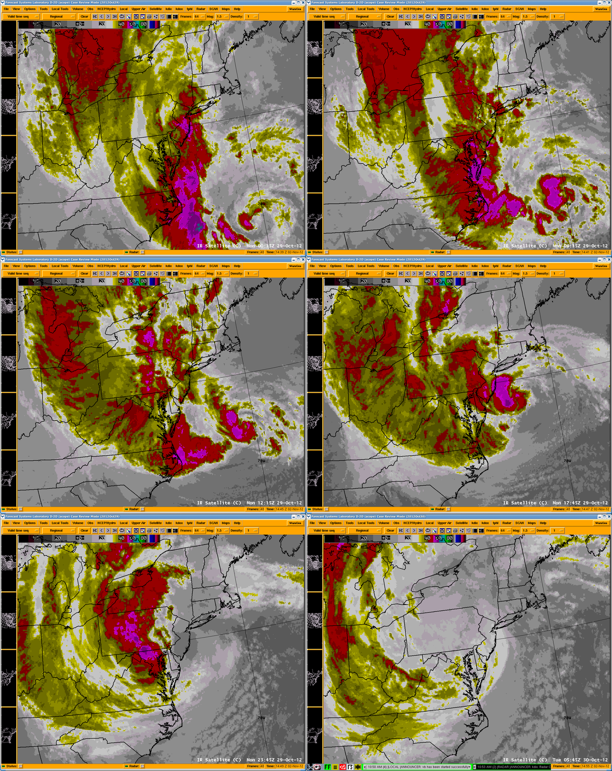
Hurricane Sandy was the eighteenth named storm of the 2012 Hurricane Season, and the tenth hurricane.   A surface
high pressure blocking pattern over northern New England coupled with a strong mid-level trough moving east from
the Midwest were the two primary features which established Sandy’s eventual landfall trajectory into southern
New Jersey on the evening of October 29th.

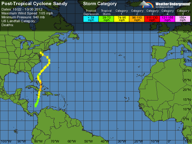
The National Hurricane Center (NHC) classified Tropical Depression 18 as a tropical storm on Monday October 22nd
at 11 am EDT when it was located in the Caribbean Sea (Fig 1). After slow movement for several days, a northward
motion began which increased as Sandy reached category one hurricane strength at 11 am on October 24th.

                                 Figure 1: Track of Sandy source: Weather Underground

A landfall occurred in Jamaica at 3:20 pm that afternoon. Sandy then strengthened overnight to category two strength
at 110 mph before making another landfall in Cuba (Fig 1). Sandy continued a northward movement through the Bahamas
before making a northwest then west turns due to the blocking pattern and approaching trough, with some weakening
followed by fluctuations in strength. Landfall occurred Monday evening just south of Atlantic City at 8 pm (fig 1).
After 500 pm, Sandy’s classification was changed to post-tropical, a status change made necessary because of
structural changes within the system as it moved north into a colder environment.

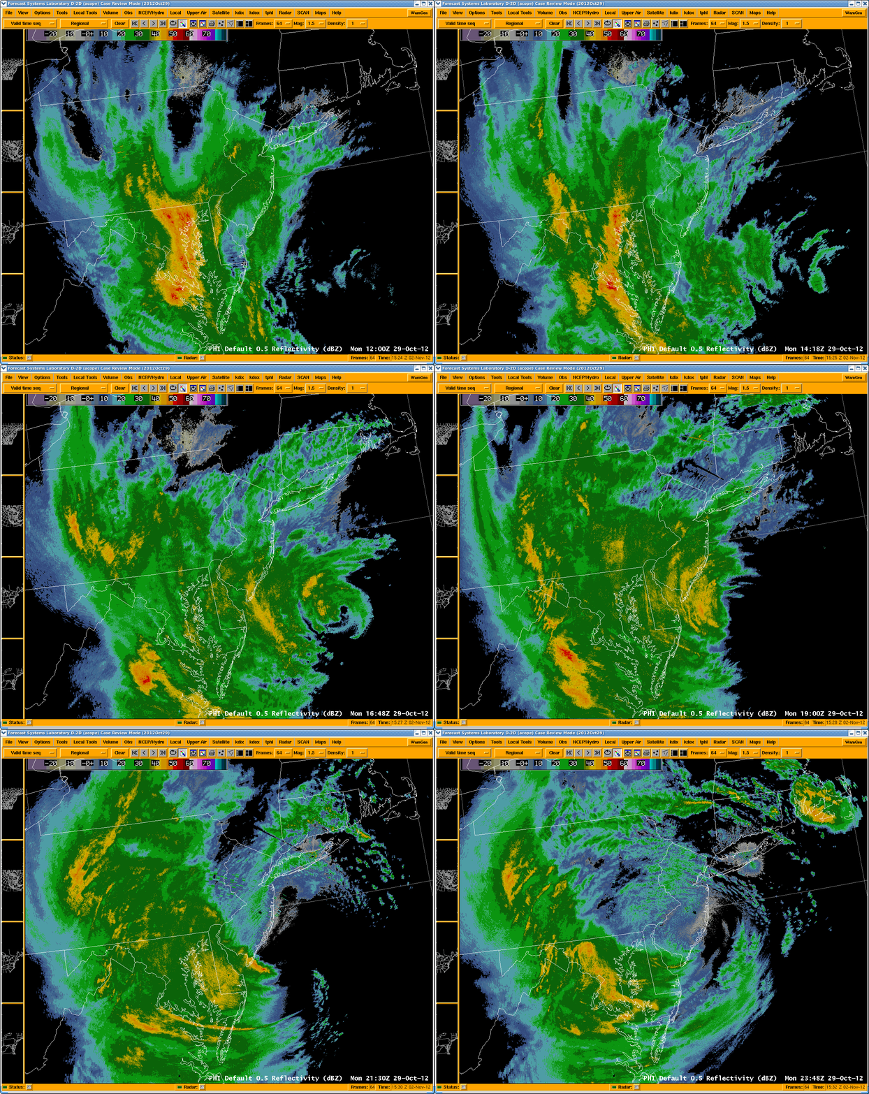
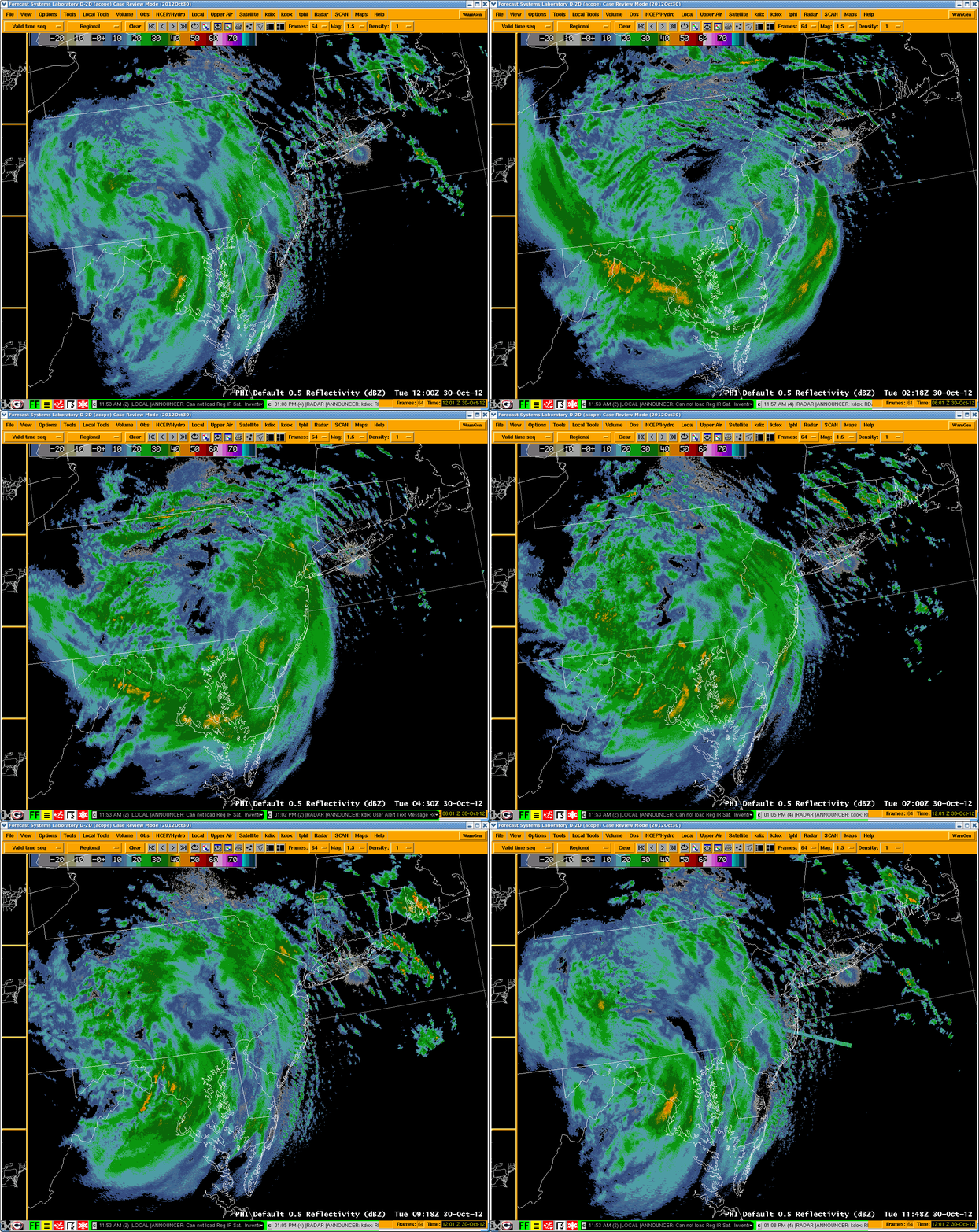
Heavy rain started Monday from the southeast to northwest as Sandy grazed Delaware and approached the New Jersey
shoreline. The heaviest rains were focused in South Jersey, Eastern Maryland and Delaware where five to twelve
inches of rain were reported. The highest rainfall in the Mount Holly county warning area (CWA) was 12.49 inches
in Easton, MD.   Several streams experienced crests above flood stage in these regions, in either the minor or
moderate flooding category. Areas further north received one to three inches of rain.

A flood watch was issued early Saturday morning and then expanded Saturday afternoon to cover the entire NWS
Mount Holly forecast area. This flood watch continued throughout the event. Numerous flood warnings and statements
were issued beginning early Monday morning and continuing through Wednesday October 31.

Very high wind gusts were recorded due to Sandy, with the strongest winds north and east of the center. Sandy
provided some areas of the mid-Atlantic region with their highest wind gusts since Hurricane Hazel 58 years earlier
(October 1954), especially in New Jersey and eastern Pennsylvania. Several wind gusts in Ocean County New Jersey
were close to 90 mph, with many regions reporting gusts over 50 mph.  The highest wind gust reported in the
Mount Holly CWA was 89 mph in Surf city (Ocean County NJ) Winds gradually began to increase Monday, peaking as
the storm passed through the region Monday night. Many trees and power lines were taken down as a result of these
gusty winds.

A high wind watch was issued early Saturday morning along with a storm watch for coastal waters and the Delaware
Bay The high wind watch was upgraded to a high wind warning early Sunday morning, while the storm watch for marine
areas was upgraded to a storm warning Saturday afternoon and then to a Hurricane Force Wind Warning around
midday Sunday.

Sandy produced major to record storm surge along the entire New Jersey coast and in Raritan bay.  This was partially
due to the timing of landfall which occurred near the time of astronomical high tide along the New Jersey coast on
Monday evening. The forward speed of Sandy at the time of landfall, approximately 28 mph, also helped push water ashore,
especially from Atlantic City north, which was also in the right-front quadrant of the storm. The previous record tide
level at Sandy Hook, set by Hurricane Donna in 1960, was shattered by 3.2 feet. As Sandy continued west into Pennsylvania,
a strong southeasterly flow on the backside of the storm, directed up Delaware Bay, produced record water levels in the
tidal sections of the Delaware River at and near Philadelphia.  Moderate flooding occurred on the Chesapeake Bay with no
major problems reported.

A coastal flood watch was issued early Saturday morning for the Atlantic coast and Delaware Bay; this was upgraded to a
warning Saturday afternoon. Coastal flood warnings were issued for the tidal Delaware River early Sunday morning and for
the eastern shore of the upper Chesapeake Bay late Sunday afternoon.

Please browse to the following links for more information on Superstorm Sandy:
- Summary and Records set
- Briefings and Presentations
- Aerial survey photos of Sandy damage can be found  here
- Additional Information on Superstorm Sandy
- NY Harbor Buoy Information from Superstorm Sandy
- Courtesy of USGS, coastal flooding survey of Sandy damage with areas flooded and
  depths at specific points can be found at this link

