National Weather Service United States Department of Commerce
Click a location below for detailed forecast.

Last Map Update: Sat, Jun 28, 2025 at 6:12:37 am CDT

Partly cloudy skies and warmer temperatures are on the way for today, but isolated to scattered showers and storms will once again make an appearance this afternoon and evening. Highs will range from the low to mid 90s across the region.
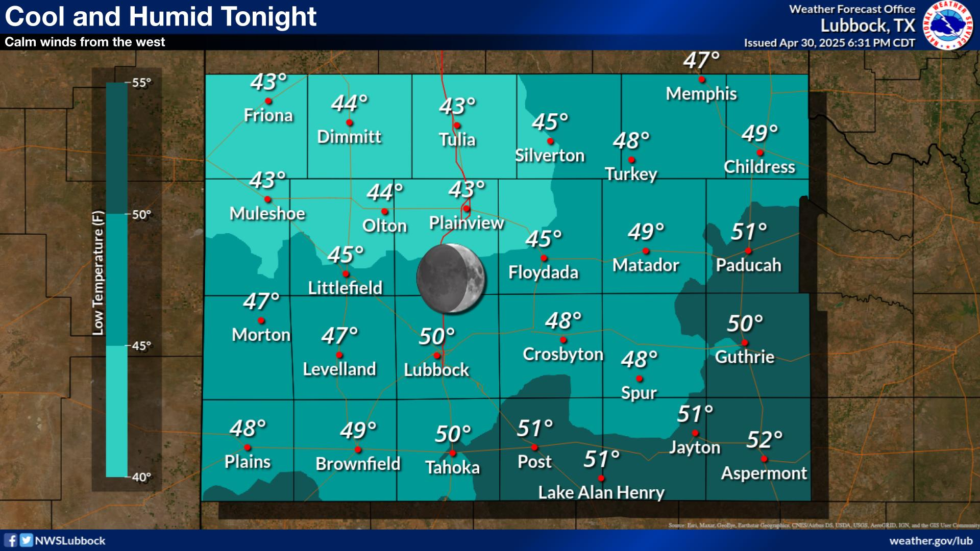
A seasonably mild night is expected tonight with continued slight chances for showers and thunderstorms.
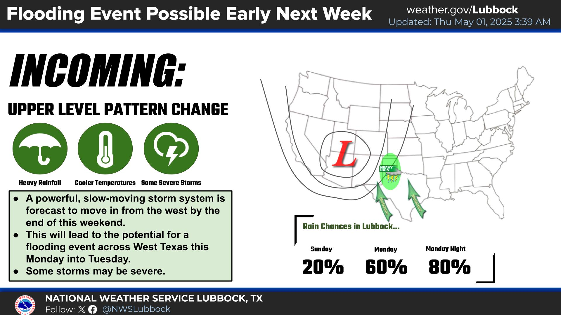
Daily chances for thunderstorms will continue throughout the upcoming week. The highest storm chances will be from Monday night through early Tuesday.


Local Weather History For June 28th...
1994 (28th-29th): The heat wave finally began breaking down in the final days of June 1994, but did not go quietly as
severe thunderstorms late this night produced quarter-size hail in southeast Lamb County and winds up to 65 mph. These
winds damaged a barn in Levelland and also a carport in Shallowater. Severe thunderstorm winds later swept through Lubbock
downing many branches, fences and some trees. These winds also destroyed at least three metal sheds, damaged the roof of a
large retail store and damaged a carport. Four miles south of Lubbock, one mobile home was destroyed and a few trees
downed. Damage to a carport and trees was also reported in Brownfield.