National Weather Service United States Department of Commerce

Areas of Excessive Rainfall and Fire Weather Today; Wildfire Smoke Bringing Unhealthy Air Quality to the Pacific Northwest

In southeast Texas, the coastal Carolinas, and much of New Mexico today, showers and thunderstorms may bring excessive rainfall which could lead to areas of flooding. Dry, gusty winds will contribute to scattered areas of elevated to critical fire weather today in the western U.S. Wildfire smoke is causing unhealthy air quality today in parts of the Pacific Northwest and central Plains. Read More >

Dinwiddie County Situational Awareness Display
Today's National Forecast Map
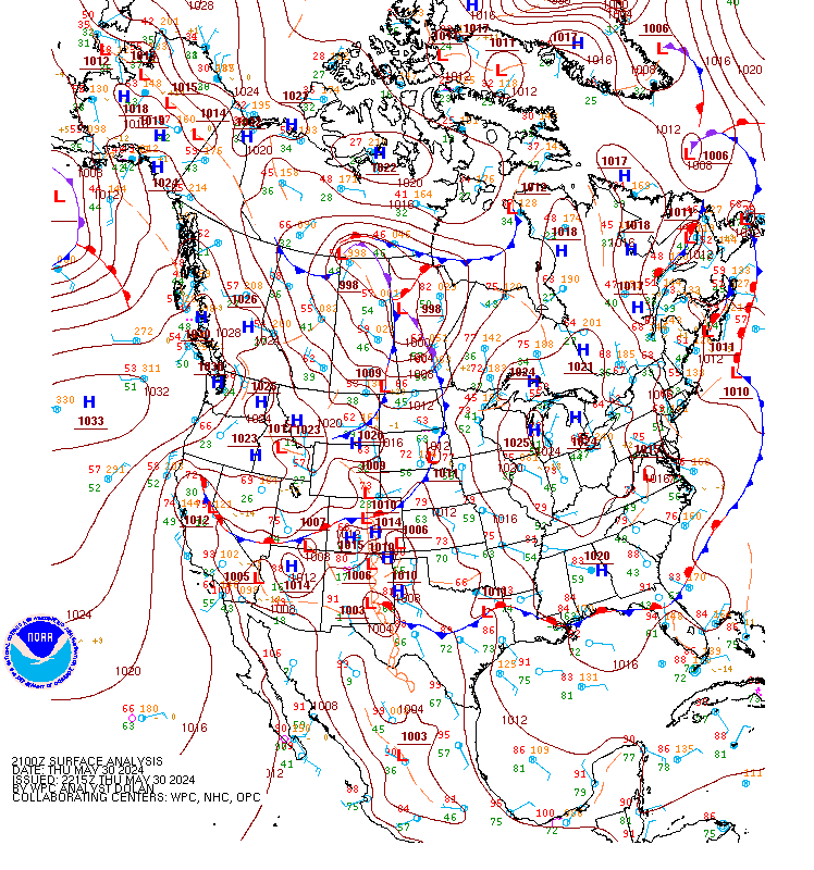
NWS Latest Surface Analysis
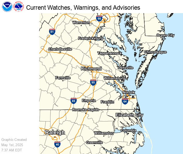
Current Watches, Warnings and Advisories
Hourly Weather Graph for Dinwiddie
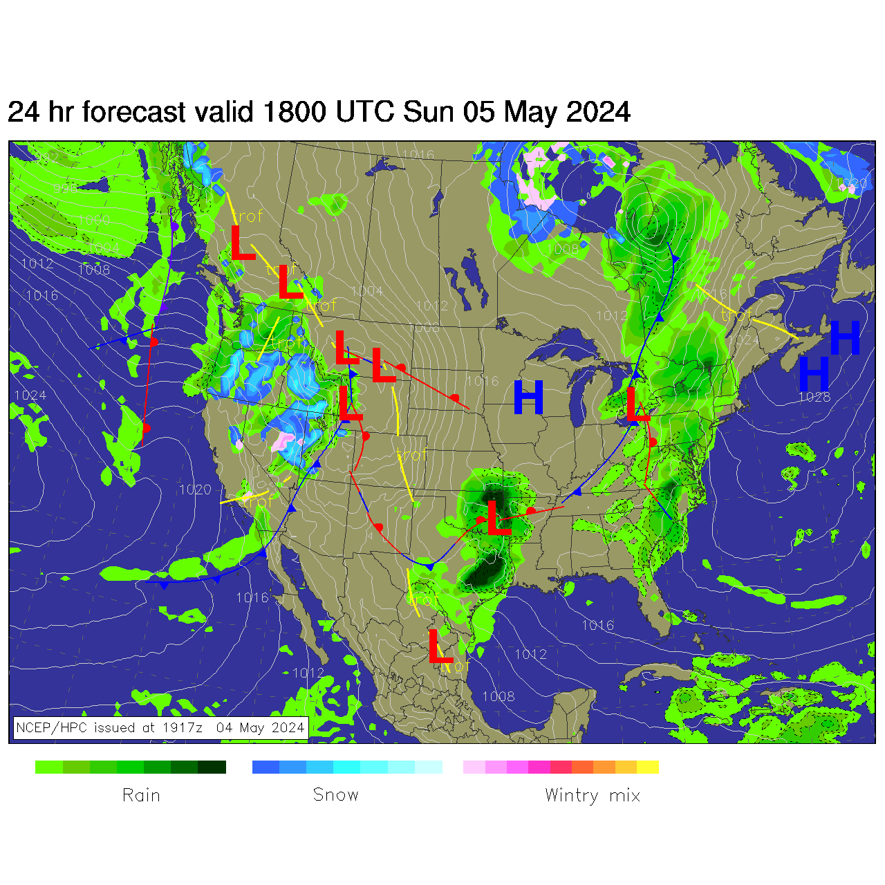
NWS 24-HOUR National Surface Forecast:
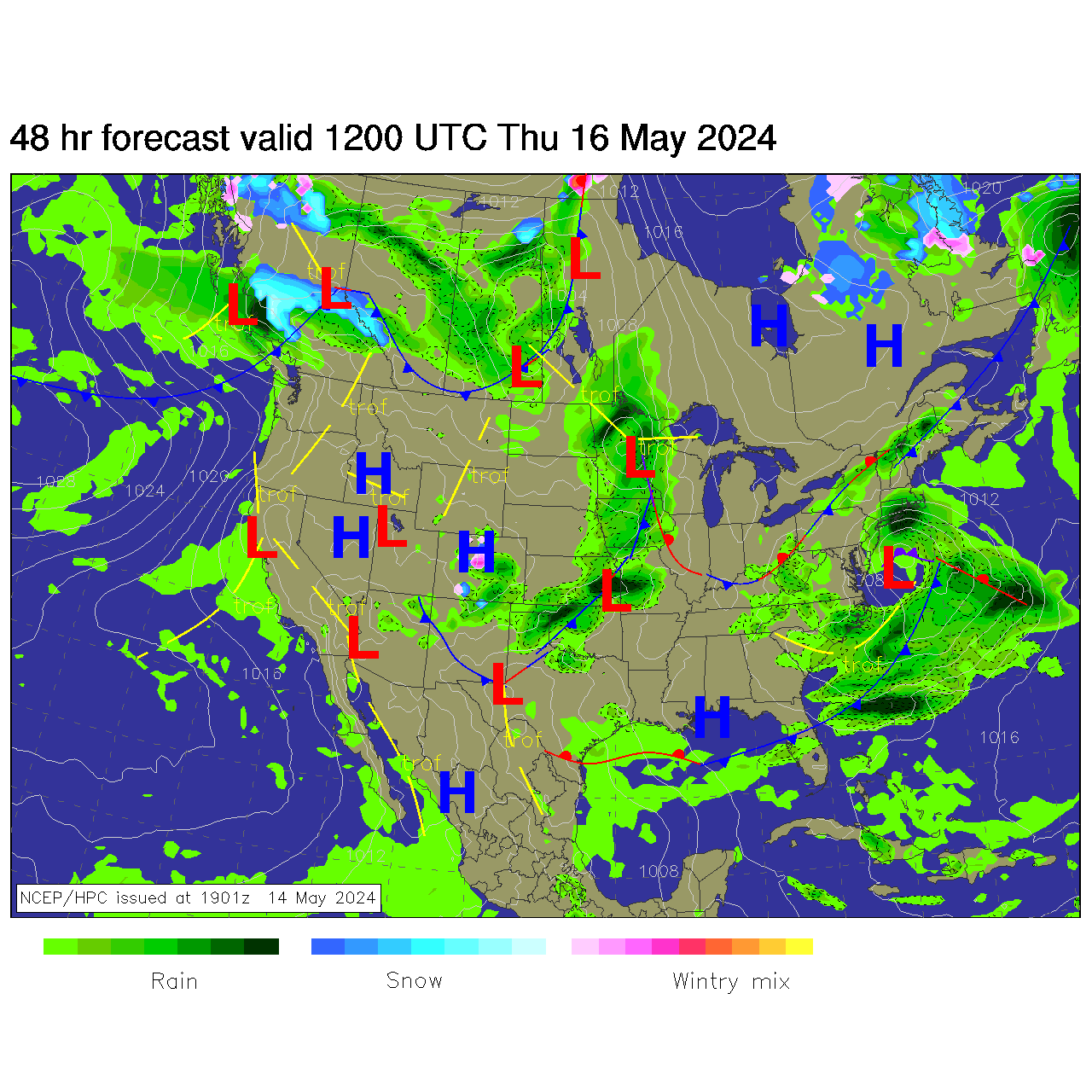
NWS 48-HOUR National Surface Forecast:
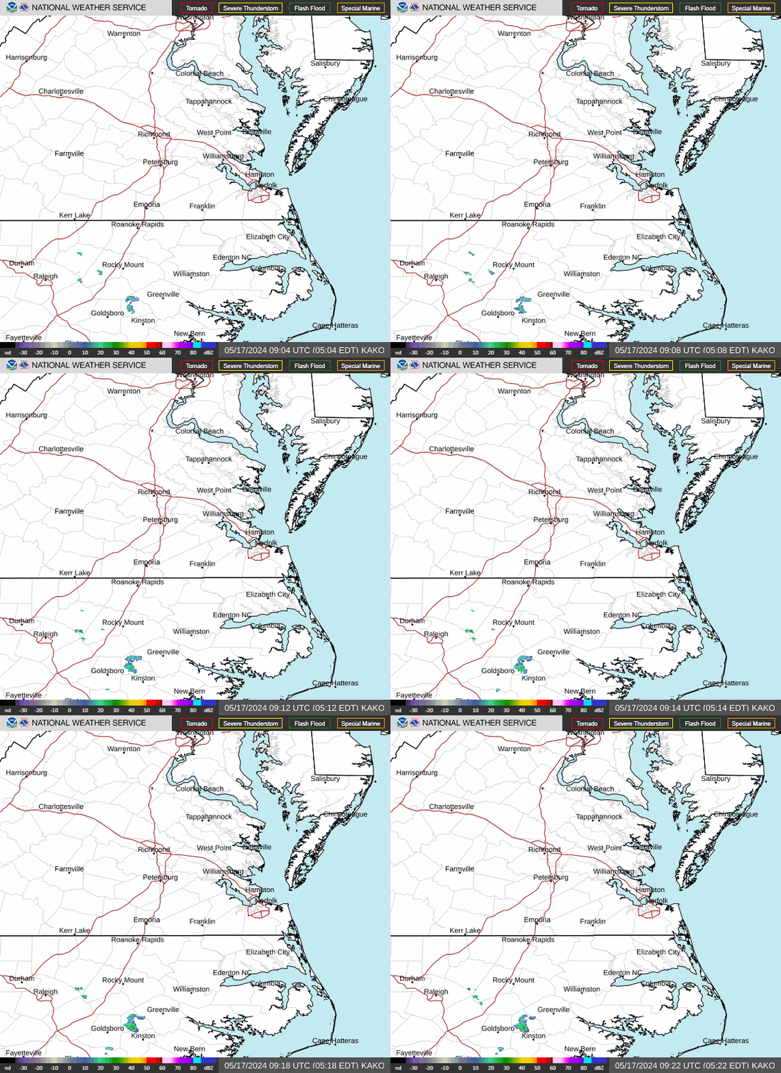
NWS Wakefield Radar Loop (updated every 10 minutes):
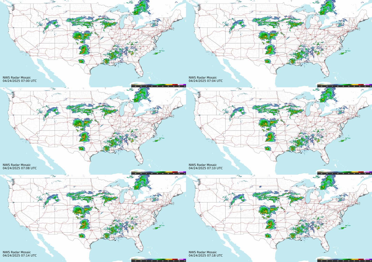
Northeast US Radar Mosaic (updated every 10 minutes):
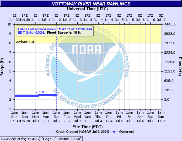
River Level Forecast - Nottoway River near Rawlings
River Level Forecast - Nottoway River at McKenney
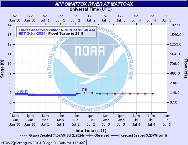
River Level Forecast - Appomattox River at Mattoax
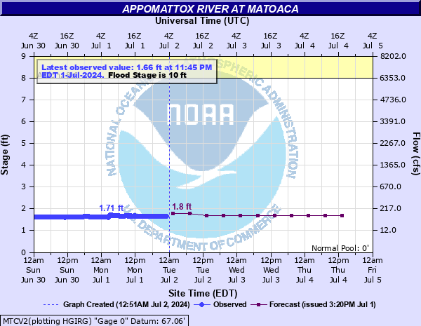
River Level Forecast - Appomattox River at Matoaca
River Level- Stony Creek near Dinwiddie
7 Day Tropical Weather Outlook - National Hurricane Center
NWS Storm Prediction Center (SPC) - Current Day 1 Outlook (SEVERE):
NWS Storm Prediction Center (SPC) - Current Day 2 Outlook (SEVERE):
36 HOUR PRECIPITATION FORECAST
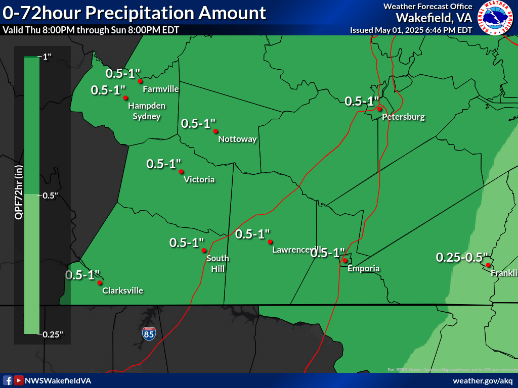
72 HOUR PRECIPITATION FORECAST

$('div.one-sixth-first:last').remove(); $('.one-sixth-first:first').css('padding-top','10px'); $('.subMenuNav').remove(); $('.five-sixth-last:first').css('padding-top','10px'); $('.five-sixth-last.breadcrumb').css('width','940px'); $('.five-sixth-last:last').css('width','940px');

Dinwiddie County Situational Awareness Display
Today's National Forecast Map
NWS Latest Surface Analysis
Current Watches, Warnings and Advisories
Hourly Weather Graph for Dinwiddie
NWS 24-HOUR National Surface Forecast:
NWS 48-HOUR National Surface Forecast:
NWS Wakefield Radar Loop (updated every 10 minutes):
National Radar Mosaic (updated every 10 minutes):
River Level Forecast - Nottoway River near Rawlings
River Level Forecast - Nottoway River at McKenney
River Level Forecast - Appomattox River at Mattoax
River Level Forecast - Appomattox River at Matoaca
River Level- Stony Creek near Dinwiddie
NWS Storm Prediction Center (SPC) - Current Day 1 Outlook (SEVERE):
NWS Storm Prediction Center (SPC) - Current Day 2 Outlook (SEVERE):
36 HOUR PRECIPITATION FORECAST
72 HOUR PRECIPITATION FORECAST
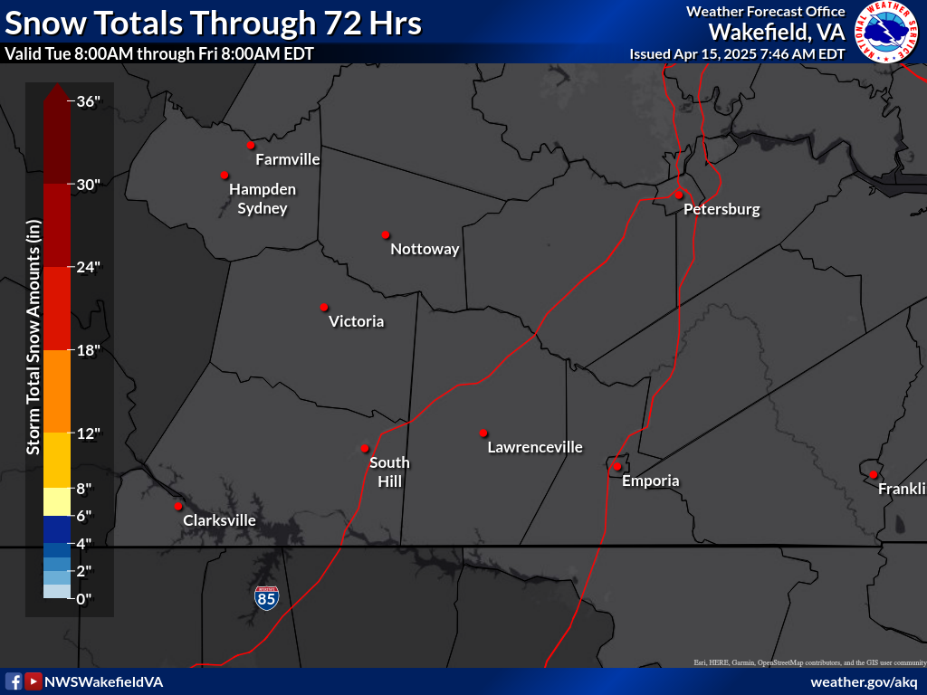
3 DAY TOTAL SNOWFALL FORECAST
LOW END SNOWFALL POTENTIAL
HIGH END SNOWFALL POTENTIAL
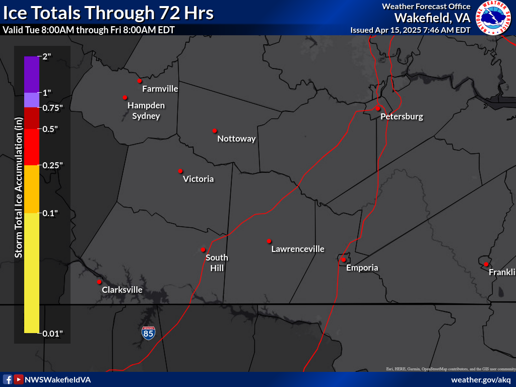
3 DAY TOTAL ICE FORECAST