Latest Aviation Discussion:
.AVIATION /06Z THURSDAY THROUGH MONDAY/...
As of 135 AM EDT Thursday...

A cold front is slowly dropping south across the region to start
off the forecast period. The best heavy rain/thunderstorm
potential early this morning is across the SE terminals (PHF,
ORF, ECG), where prevailing VSBYs will likely be MVFR, with
periodic IFR to LIFR VSBYs likely in any heavier showers or
storms. Heavy rain potentially lingers across SE VA/NE NC into
midday. CIGs will also lower to MVFR (and potentially IFR)
early this morning. At RIC, seeing MVFR VSBYs due to patchy fog
as well as some low stratus/IFR CIGs with the front sitting
just to the north of the terminal. CIGs improve at RIC by ~09z
as the front continues to slowly drop south. The front is
currently dropping through SBY leading to MVFR CIGs. Conditions
slowly improve from N to S throughout the day today. Winds shift
to the NNW as the front drops south, but not until 10-14z over
SE VA/NE NC, becoming NE all areas this afternoon.

Outlook: Generally drying out late Thursday, but a few additional
SHRA and flight restrictions may linger at ORF/ECG into Fri AM.
Mainly dry/VFR Friday-Saturday with a low chance for showers
across the SE terminals.

&&
|
This discussion and more can be found in the Area Forecast Discussion.
Aviation Forecasts
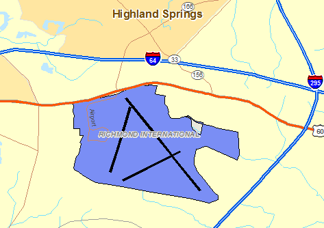
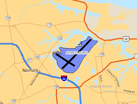
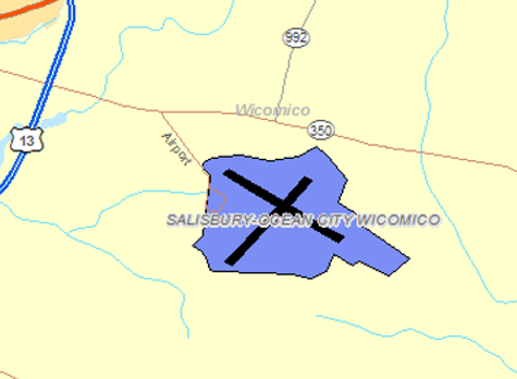
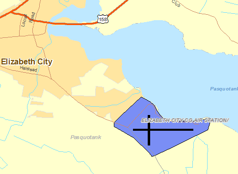
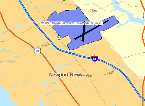
The National Weather Service Office in Wakefield, VA has responsibility for five Terminal Aerodrome Forecasts or TAFs in Virginia, Maryland and Northeast North Carolina. Click on the RUNWAY on the map below to view the latest TAF.
RICHMOND
NORFOLK
SALISBURY
ELIZABETH CITY
NEWPORT NEWS/WILLIAMBURG
Center Weather Service Unit Products
One Center Weather Service Unit (CWSU) covers the NWS Wakefield, VA County Warning Area. Use the buttons on the map or....CLICK HERE to view either a Meteorological Impact Statement (MIS) or Center Weather Advisory (CWA) issued by the CWSUs. For complete AVIATION WEATHER CENTER products click here.
Interactive Aviation Map (mouse over & CLICK for Observations)
See Complete MESONET MAP & OBS
Decoded/Raw Text
Surface Weather Maps
Wind Rose Data
Miscellaneous


 Coastal Flood
 Heat
Heat