National Weather Service United States Department of Commerce

Record Heat for the Intermountain West and Northern Plains; Heavy Rainfall and Severe Weather Threats

Record setting heat is expected over the next several days from the Intermountain West through the northern Plains. Furthermore, fire weather concerns increase with dry and breezy conditions. Meanwhile, heavy rainfall and severe thunderstorm threats for the Ohio/Tennessee Valleys, central Appalachians and Southeast today. The threat shifts to central Gulf Coast and across central Texas this week. Read More >

Click a location below for detailed forecast.

Last Map Update: Sun, Jul 12, 2026 at 6:20:31 am CDT

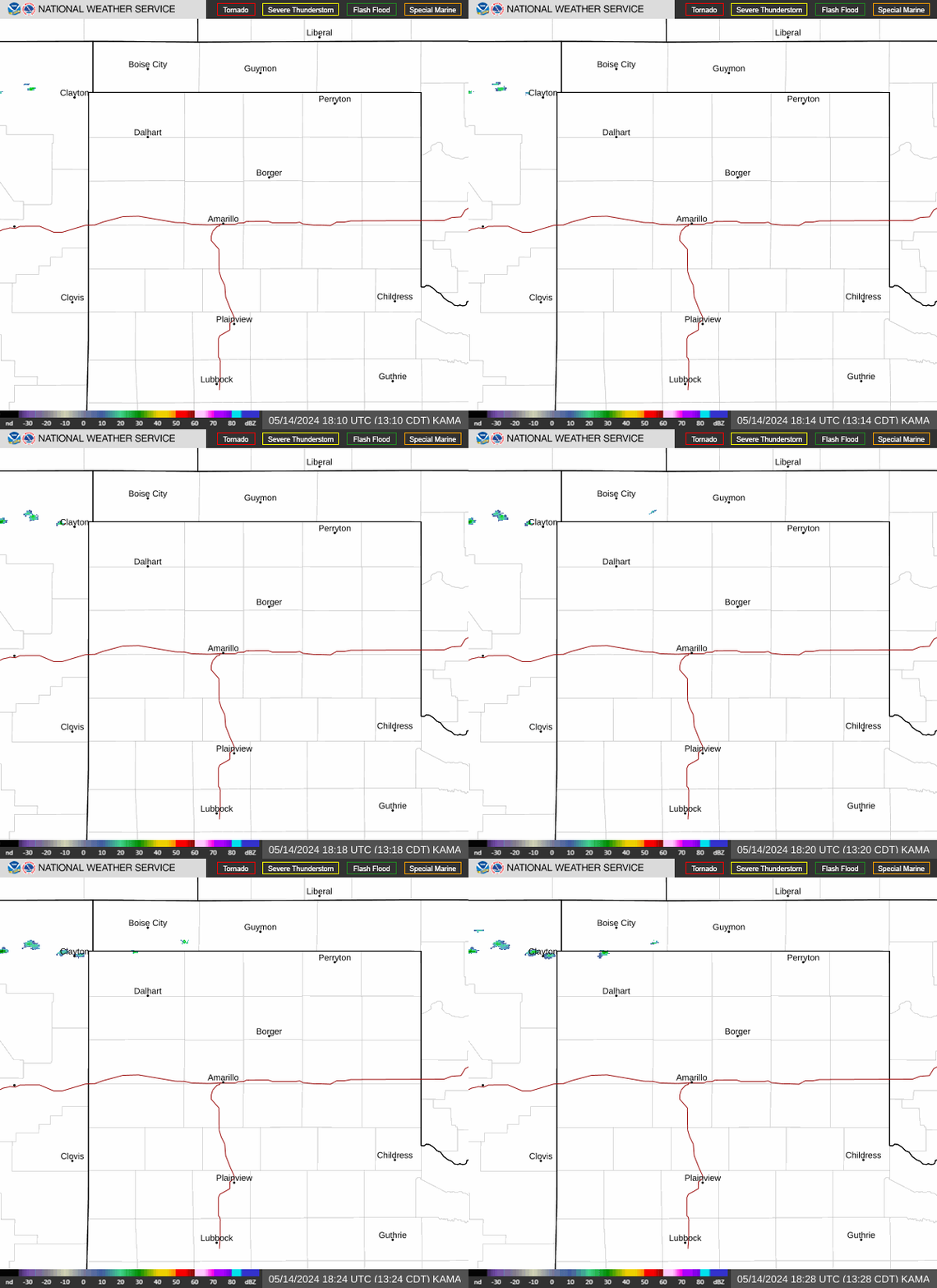
Isolated to scattered storms in the central to southern Panhandles today. Storms will have very little motion, and the main concerns will be wind gusts, but could also produce heavy rainfall.
Isolated to scattered storms today. Storms will be nearly stationary and will be limited to the central and southern Panhandles, with higher chances further south.
Storms today will have the capability of producing ample rainfall, and given very slow to nearly stationary storm motion, there is a low threat for Flash Flooding.
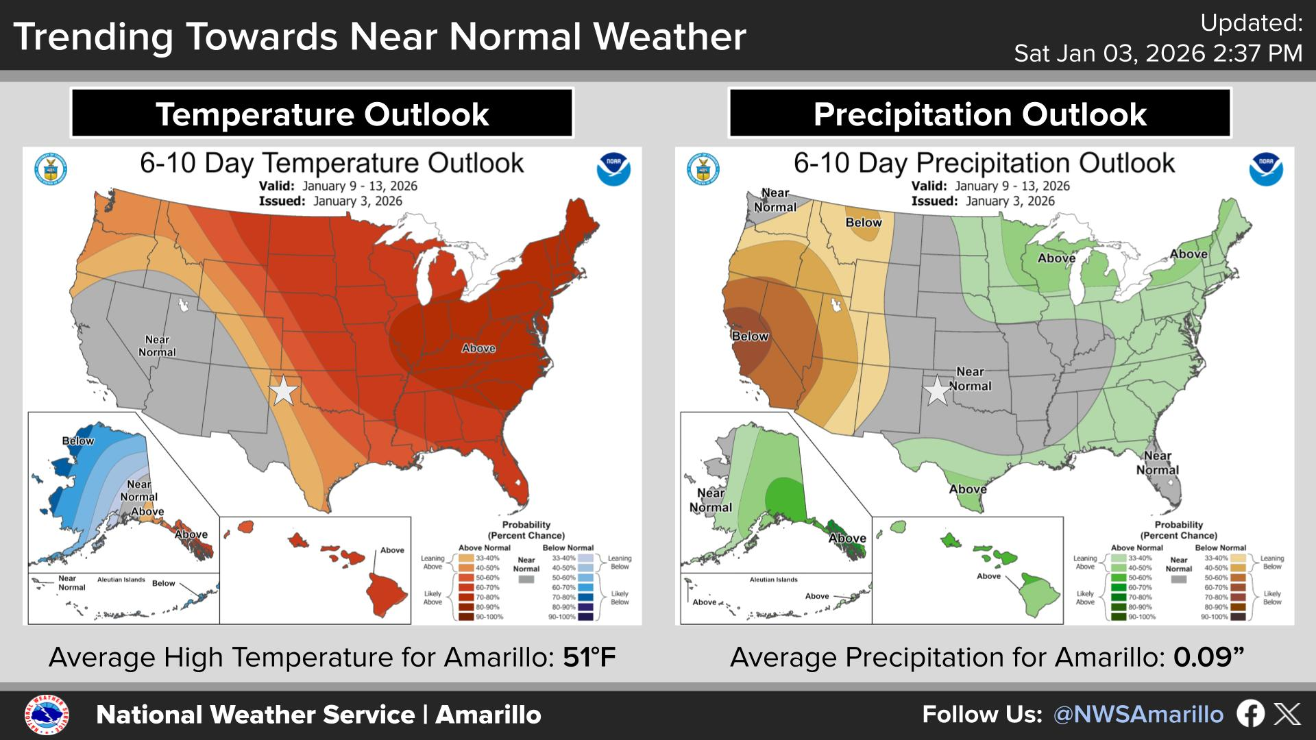
High pressure will continue to shift around the western and central CONUS over the next several days. And while temperatures will be slightly below normal in the short term, they are expected to transition to above normal in about a week.
A strong high pressure system is expected to slowly shift upwards into the Northern and Central Great Plains next week. However, how far north this system tracks can make all the difference for weather here in the Panhandles. Should the high track much further north into the Dakotas' area, then the southern portions of the Texas Panhandle could see moisture push in from the southeast and increase our chances of getting storms. However, chances of storms will only decrease with temperatures increasing should the high push further south. Make sure to check back with us for more updates as we head into next week.

Text Product Selector (Selected product opens in current window)


Current Observations ( )
Location Sky/Weather Temp (°F) Dewpt (°F) RH (%) Wind (mph) Pressure (inHg) Remarks
 Amarillo
N/A
N/A
N/A
N/A
N/A
N/A
N/A
 Borger
N/A
N/A
N/A
N/A
N/A
N/A
N/A
 Canadian
N/A
N/A
N/A
N/A
N/A
N/A
N/A
 Dalhart
N/A
N/A
N/A
N/A
N/A
N/A
N/A
 Dumas
N/A
N/A
N/A
N/A
N/A
N/A
N/A
 Guymon
N/A
N/A
N/A
N/A
N/A
N/A
N/A
 Hereford
N/A
N/A
N/A
N/A
N/A
N/A
N/A
 Pampa
N/A
N/A
N/A
N/A
N/A
N/A
N/A
 Perryton
N/A
N/A
N/A
N/A
N/A
N/A
N/A
 Amarillo 9NNE
N/A
N/A
N/A
N/A
N/A
N/A
N/A
 Amarillo 7SSE
N/A
N/A
N/A
N/A
N/A
N/A
N/A
 Bootleg 11WNW
N/A
N/A
N/A
N/A
N/A
N/A
N/A
 Canadian 6E
N/A
N/A
N/A
N/A
N/A
N/A
N/A
 Clarendon 2WSW
N/A
N/A
N/A
N/A
N/A
N/A
N/A
 Claude 12SW
N/A
N/A
N/A
N/A
N/A
N/A
N/A
 Hereford 2NW
N/A
N/A
N/A
N/A
N/A
N/A
N/A
 McLean 1E
N/A
N/A
N/A
N/A
N/A
N/A
N/A
 Palo Duro SP
N/A
N/A
N/A
N/A
N/A
N/A
N/A
 Pampa 2E
N/A
N/A
N/A
N/A
N/A
N/A
N/A
 Umbarger 3NNE
N/A
N/A
N/A
N/A
N/A
N/A
N/A
Note: "N/A" or "MISG" will be displayed if values are not available. In the LOCATION column, click on links for a list of recent observations at sites of interest. In the WIND column, VRB is "variable" and G is "gust". In the REMARKS column, HX is "heat index", WCI is "wind chill index", and VSB is "visibility" (if shown).


Aviation Drought Fire Weather Hydrology Severe Weather Winter Weather
 
Climate Graphs Hourly Forecast Long Range Local Model Data Precip Maps Heat
 
Education Local Research News Skywarn Weather Calculator Weather Radio