National Weather Service United States Department of Commerce

Heat Wave Persists Over the Central U.S.; Significant Flooding Expected in the Northern Mid-Atlantic Tuesday

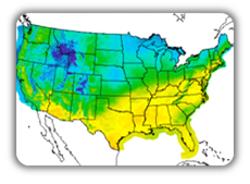
Dangerous and extreme heat will remain across portions of the Central U.S. this week, persisting across the Mid to Lower Mississippi Valleys, Gulf Coast, Southern Plains and portions of Texas. A heat wave over the Southwest will intensify late this week. Severe thunderstorms and flash flooding will spread from the Great Lakes/Ohio Valley to the Mid-Atlantic and Northeast the next few days. Read More >

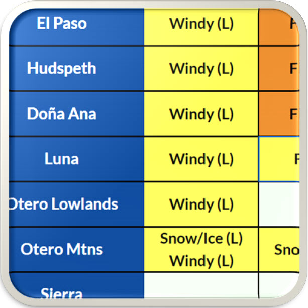
Click a location below for detailed forecast.

Last Map Update: Tue, Jul 28, 2026 at 8:00:15 am MDT

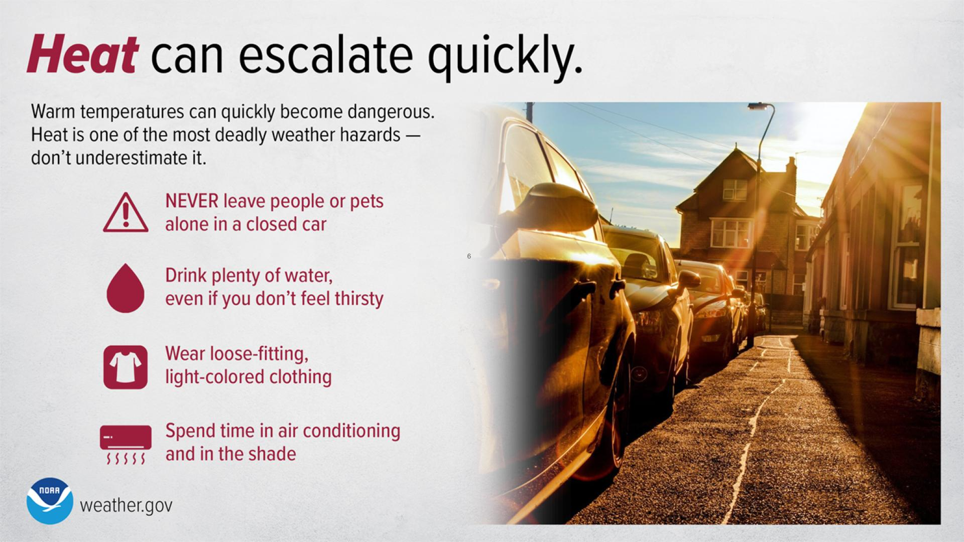
Heat Advisory is in effect today and Tuesday for the south-central lowlands, including El Paso, TX and Las Cruces, NM. Also, Hudspeth County including the Lower Valley and Salt Flats/Dell City. High Temperatures will range from 103° to 107°. These hot temperatures may lead to heat-related illnesses.
On Tuesday we will see a slight (2/4) risk for flash flooding across SW New Mexico on Tuesday, July 28
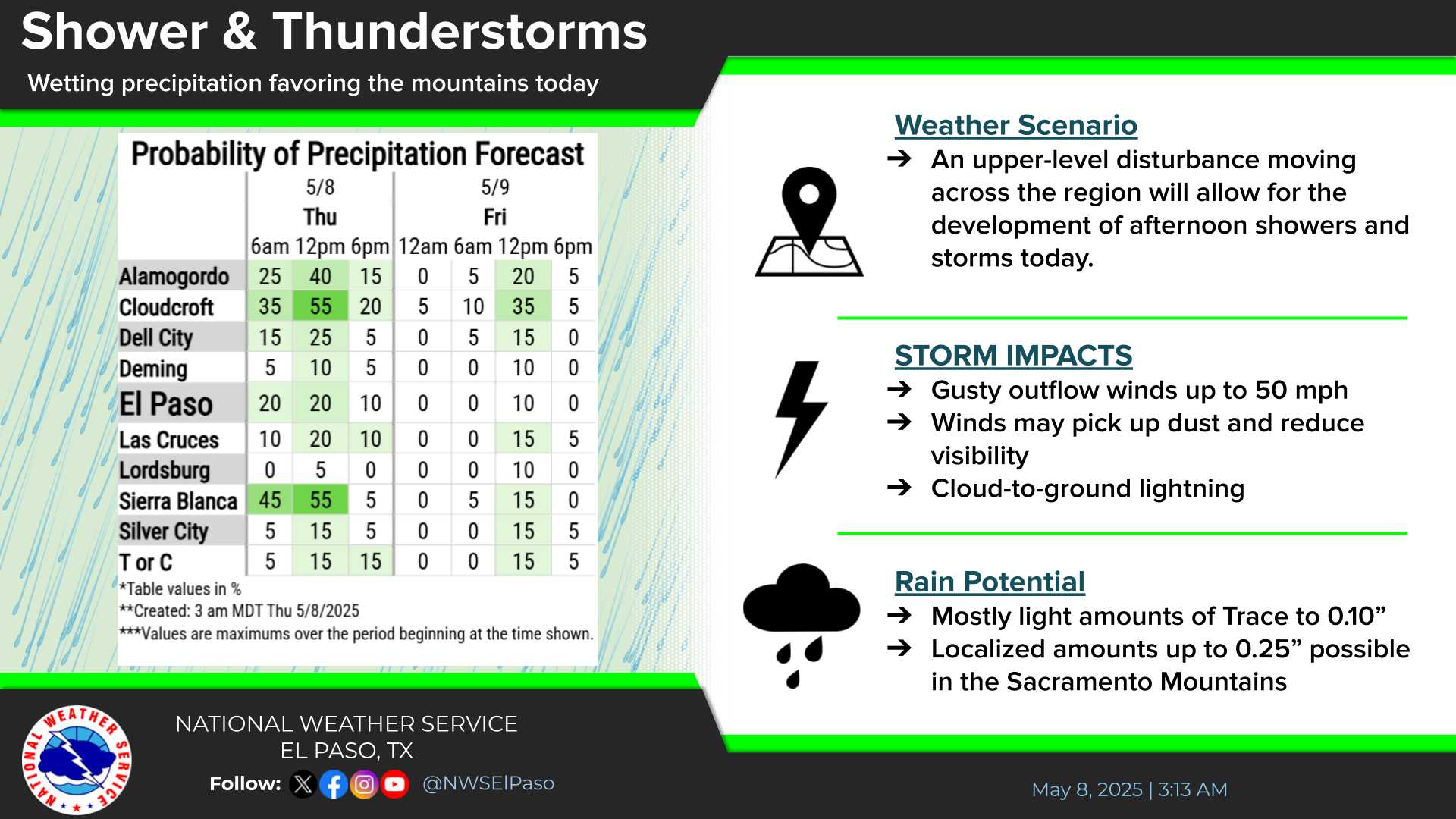
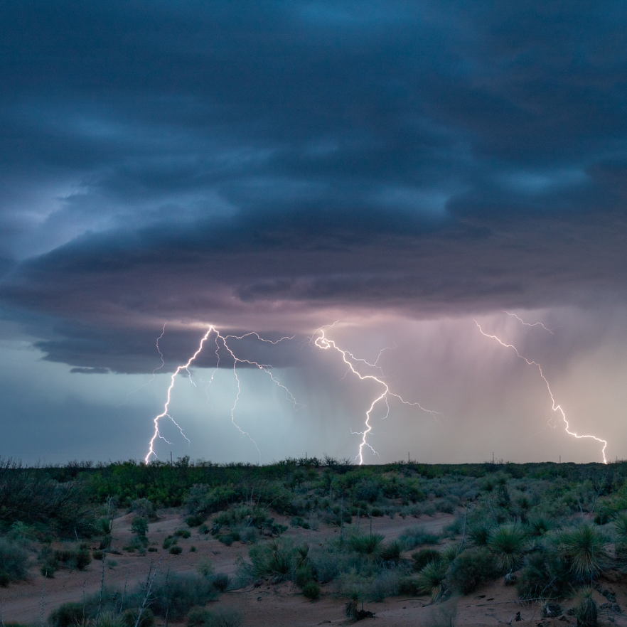
We will see another hot day on Tuesday with high temperatures well above average and lowland temperatures at or above 100°F. There will be a chance for thunderstorms mainly, west of the Rio Grande and in area mountains.

Link to Briefing page
Briefing

Forecast
Discussion
Weather Hazards Outlook icon
Weather Hazards
Outlook

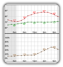
Hourly Forecast

Gridded Forecast

Weather Calculator

Link to Observation Page
Current
Observations


Satellite


Climate
Data


Past Weather

Drought

Hydrology

Wx Radio

Skywarn

Fire Weather

Vo1lunteer

Aviation

Social Media
   
Weather Digest

Monsoon/Tropical