Sunny and seasonable Tuesday
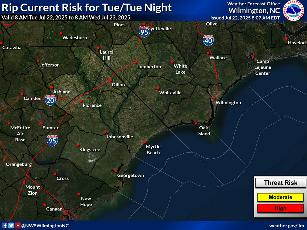
Daily Rip Current Risk
Daily Climate Summary
Tuesday will be sunny and a bit breezy. The offshore nor'easter will continue to bring beach hazards that will only slowly improve this week.
Daily rip current risk for the beaches of Southeast North Carolina and Northeast South Carolina
The daily climate summary for the previous day is issued each morning by 5:00 AM.
Weather Stories from Around the Country
Click the icons on the map to display information for each NWS Weather Story.






 Radar
Radar Current Weather
 Rivers & Lakes
 Satellite
 Forecast Maps
 Hour by Hour Forecast
 Tropical Weather
 Graphical Hazards
 Weather Hazard Briefing
 Forecaster's Discussion
 Text Bulletins
 Climate
 Skywarn
 NOAA Weather Radio
 Sunrise/Sunset
 Marine Forecasts
 Beach & Surf
 Coastal Flood
  Follow us on X
 Follow us on Facebook
 Follow us on YouTube
 ILM RSS Feed