National Weather Service United States Department of Commerce

KLBB Radar Imagery
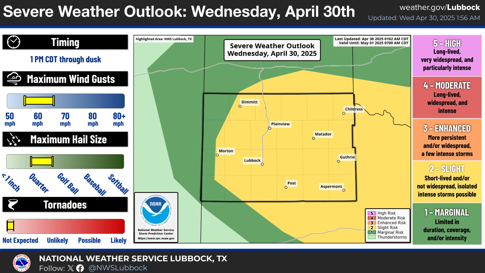
A Severe Thunderstorm Watch is in effect through 10 PM this evening for portions of the far southeastern Texas Panhandle and the Rolling Plains. Large hail up to 3 inches in diameter and wind gusts up to 70 mph will be the primary threats.
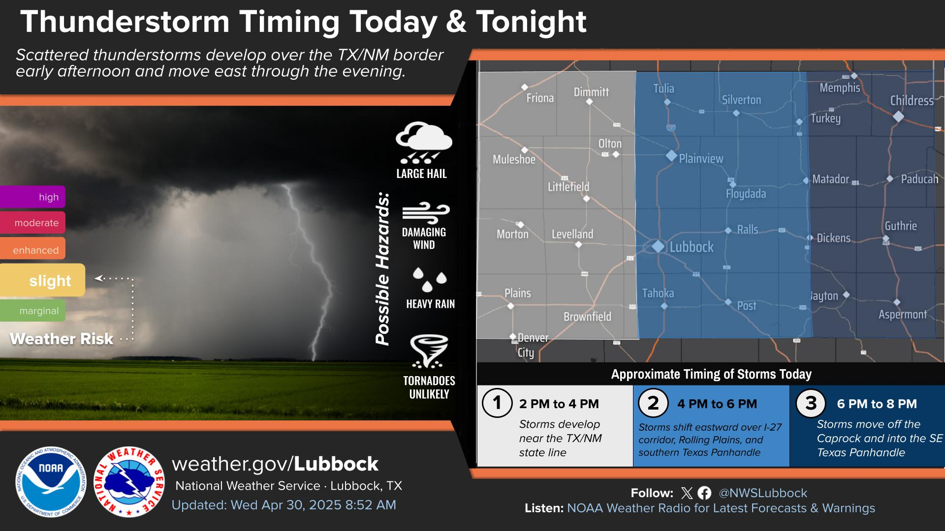
Isolated to scattered thunderstorms are expected to develop near the edge of the Caprock Escarpment near or after 3 PM, then move east over the Rolling Plains through the evening. Some storms may be severe, with primary hazards of damaging wind gusts up to 70 mph and large hail up to golf ball size.
Hot temperatures are expected across the region today with most locations seeing highs reach well into the 90s. Scattered-to-numerous thunderstorms are expected to develop this afternoon and persist through this evening, with storms forming along I-27 early this afternoon and moving eastward into the Rolling Plains throughout the remainder of the afternoon and into the evening. Some storms may be severe.
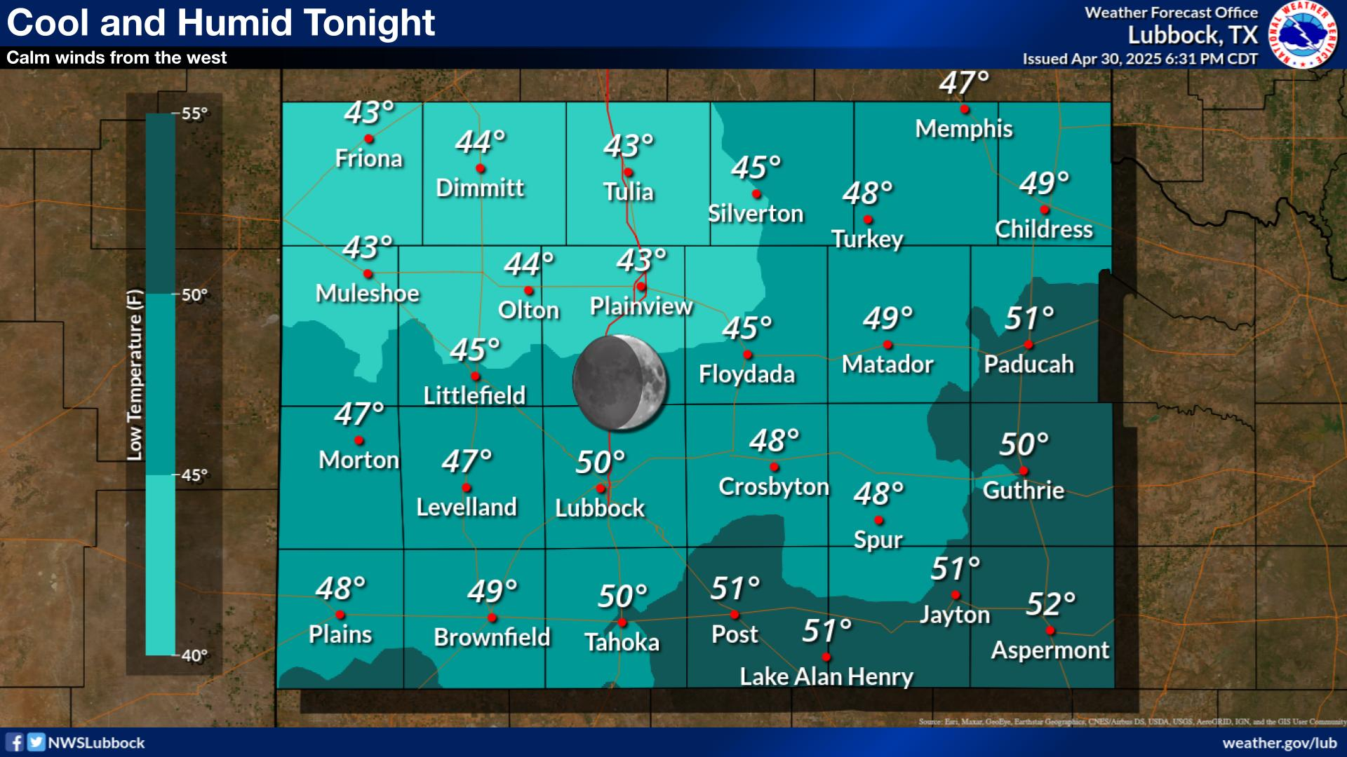
Thunderstorms will be possible this evening. Some storms may be strong to severe. Overnight lows will be near average, in the mid 50s to mid 60s.
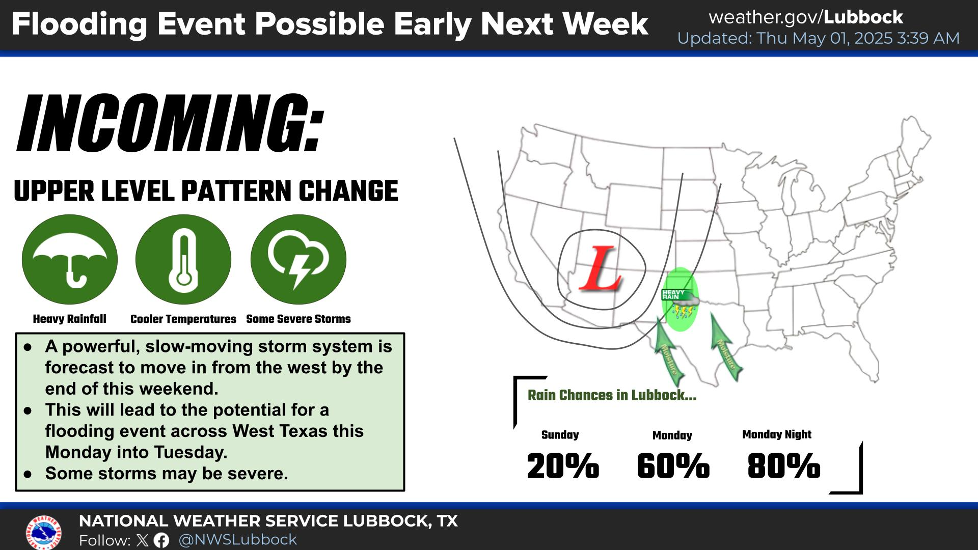
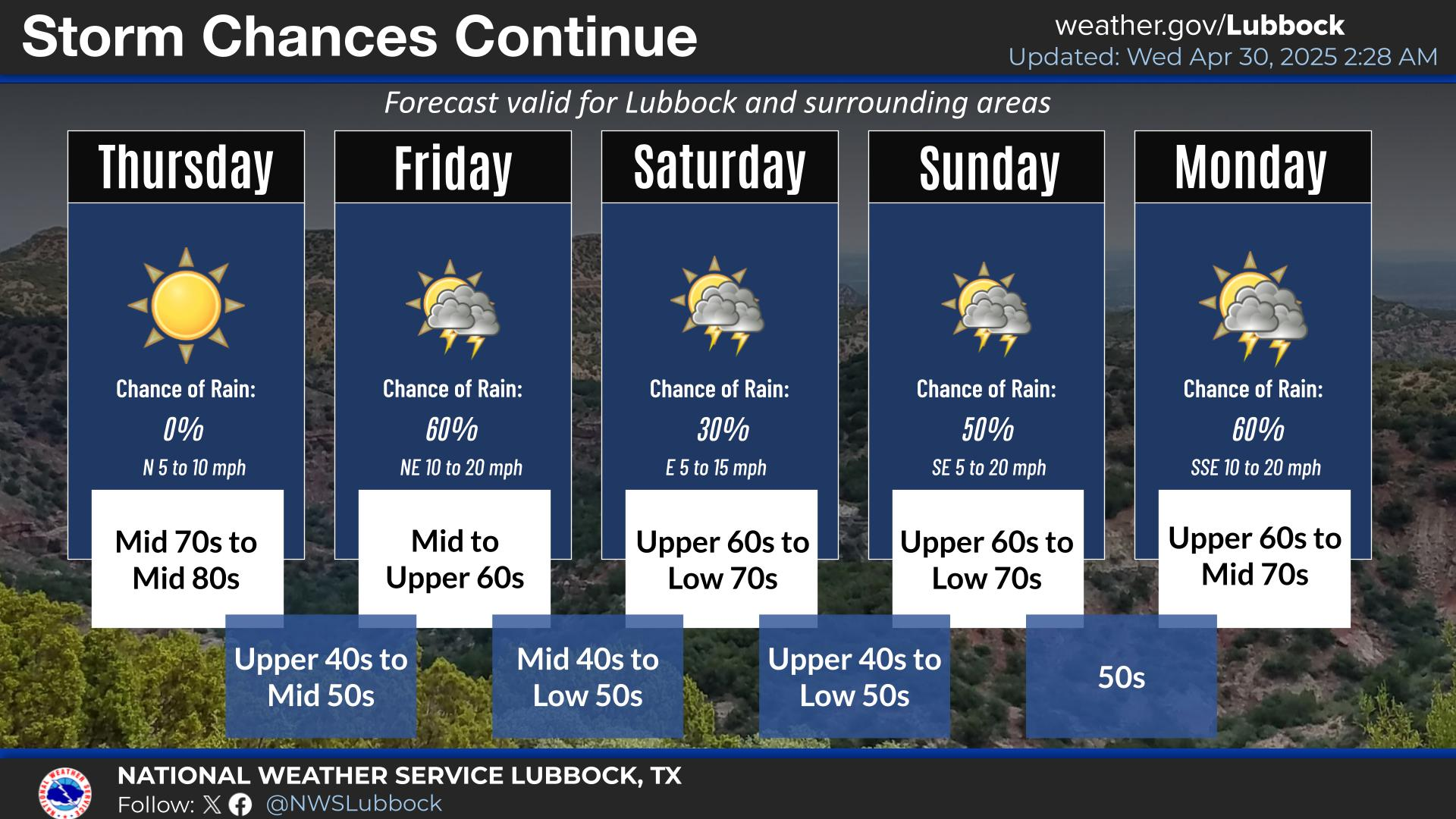
Cooler and wetter weather is expected next week with an approaching upper level storm system.
Mostly warm and dry weather continues this week. Slight chances of thunderstorms will exist from Friday - Saturday over the Rolling Plains. More widespread thunderstorm chances will be possible Sunday and Monday.


Local Weather History For May 22nd...
1973: Late this afternoon and evening, scattered supercell thunderstorms littered portions of the South Plains and far
southern Panhandle with hail. In at least four separate cases, copious amounts of small hail piled up to depths of two to
four inches impeding travel on area roads. One of these supercells produced gigantic hail as large as 5.0 inches just
north of Seagraves in Yoakum County. In Lynn County, a near 40 minute barrage of large hail, including some hailstones as
large as four inches in diameter, covered the ground. Most of these hailstones were two inches. The ground in Brownfield
was completely covered with hailstones averaging two inches in diameter. Near Halfway, a tornado touched down for a few
minutes over open country damaging nothing. Considerable damage was dealt to area crops and property, however the $35,000
crop damage estimates listed in Storm Data were likely far below the actual dollar value given the amount of acreage
devastated.