Jackson, KY
Weather Forecast Office
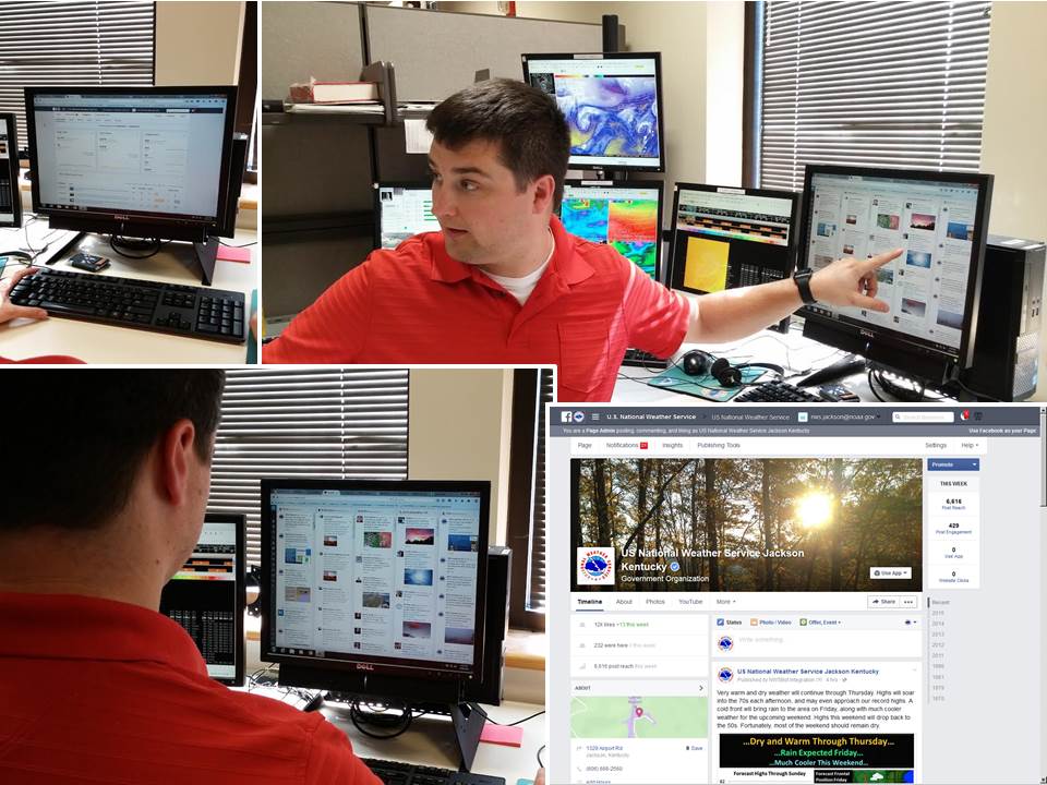
It seems as though we now live in a world inundated by social media, and all the information we could ever imagine is now at our fingertips. The National Weather Service is no different. Social media has played a crucial role in how we operate, both in how we convey weather information and how we receive it. Each forecaster is plugged into Facebook and Twitter every day during their shift, monitoring feeds and sending out information as necessary. In times of inclement weather, our goal is to provide guidance on preparedness leading up to the event, critical information during the event, and some type of post analysis after the event. Social media has also turned into a valuable tool for receiving storm reports and critical information from you, the users. Your storm reports are vital to our warning decision process, providing the link between what we are seeing on radar and what is actually impacting you at your location.
Day 11: Participating In Outreach
Day 10: The NOAA Weather Radio
Day 9: Creating The Weather Story
Day 4: Issuing Severe Weather Warnings
Warnings/Hazards
Decision Support - Outlooks
Current Weather Hazards
Hazards Criteria
Weather Story Graphic
Recent Storm Reports
Submit a Report
Forecasts
Decision Support - Forecast
Aviation Forecasts
Fire Weather Forecasts
Hourly Weather Forecast
Activity Planner
River Forecasts
Forecast Discussion
Current Conditions
Regional Radar
Decision Support - Current
Rivers and Lakes
Hourly Airport Weather
Local Radar
Satellite
Kentucky Mesonet
Past Weather
Local Climate Info
Temp/Precip Summary
How Much Rain Fell?
How Much Snow Fell?
Past Weather Events
Drought Information
Local Coop Observers

US Dept of Commerce
National Oceanic and Atmospheric Administration
National Weather Service
Jackson, KY
1329 Airport Road
Jackson, KY 41339
606-666-8000
Comments? Questions? Please Contact Us.


 Follow us on X
 Follow us on Facebook
 Follow us on YouTube
 JKL RSS Feed