Scattered thunderstorms with severe gusts, hail and a tornado risk are possible near a cold front from the Ohio Valley to the Mid-Atlantic tonight. Tropical Storm Bertha is expected to bring tropical storm conditions to portions of the Gulf Coast from the panhandle of Florida into Louisiana through Wednesday. Read More >
 |
Overview
|
|
|
Snow and Wind Damage Reports
Interactive Map of Latest Storm Reports
Interactive Map of Latest Snowfall Reports
...2-HOUR SNOWFALL REPORTS FROM MORNING OF 1/14/2026... Location Amount Time/Date 1 S Jefferson Park - Chicago 2.0 in 1101 AM 01/14 Oak Lawn 1.7 in 0945 AM 01/14 Romeoville - NWS Chicago 1.6 in 1200 PM 01/14 Valparaiso 1.6 in 0930 AM 01/14 2 E Schaumburg 1.5 in 0912 AM 01/14 3 SW Midway Airport 1.3 in 1200 PM 01/14 Chicago O'Hare Airport 1.2 in 1200 PM 01/14 Waukegan 1.0 in 0738 AM 01/14 1 E Tinley Park 1.0 in 0910 AM 01/14 Observations are collected from a variety of sources with varying equipment and exposures. We thank all volunteer weather observers for their dedication. Not all data listed are considered official. $$ |
Preliminary Local Storm Report...Summary
National Weather Service Chicago IL
754 PM CST Wed Jan 14 2026
..TIME... ...EVENT... ...CITY LOCATION... ...LAT.LON...
..DATE... ....MAG.... ..COUNTY LOCATION..ST.. ...SOURCE....
..REMARKS..
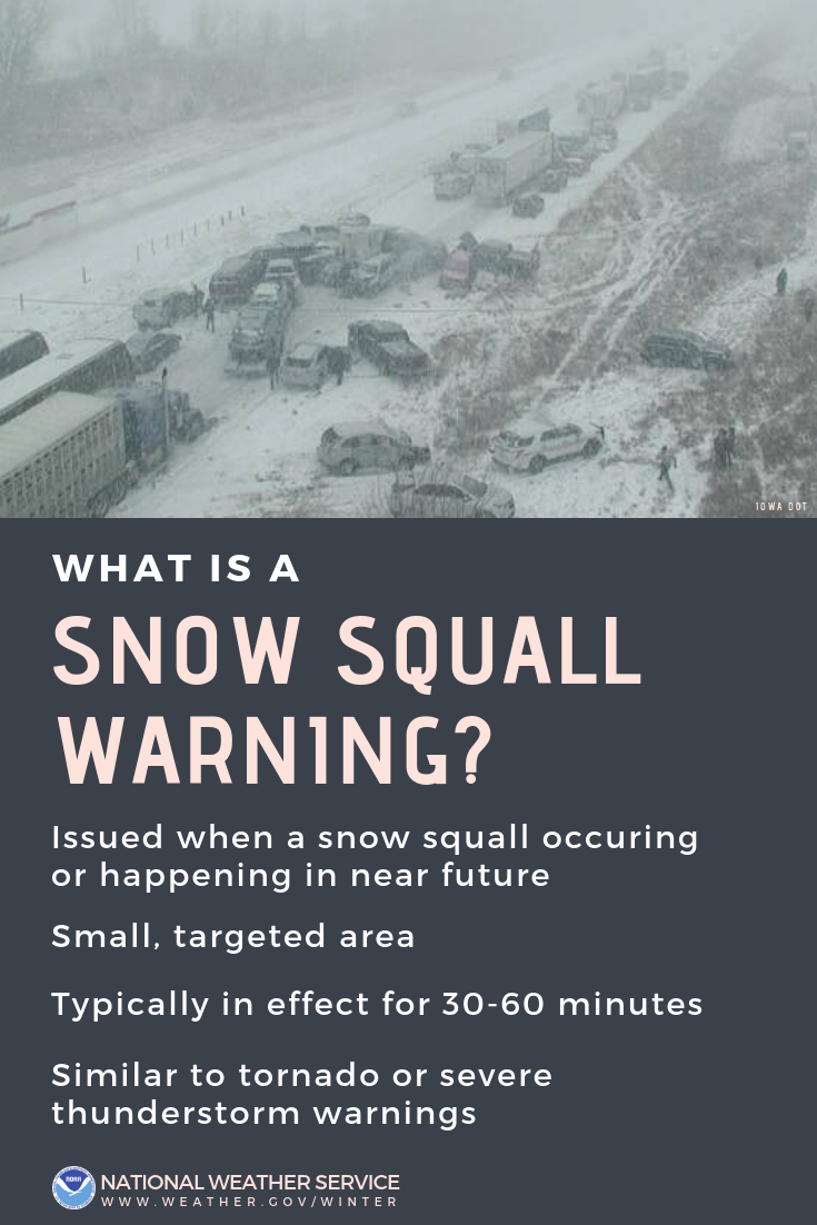
0723 AM Snow Squall Midway Airport 41.78N 87.76W
01/14/2026 Cook IL ASOS
Visibility down to quarter mile and maximum
wind gust to 47 mph.
0743 AM Snow Squall 1 NW Norwood Park - Chi 42.00N 87.81W
01/14/2026 Cook IL Public
Public report of near zero visibility in
Norwood Park community area of Chicago
during snow squall.
0748 AM Non-Tstm Wnd Dmg 1 NW Norwood Park - Chi 42.00N 87.82W
01/14/2026 Cook IL Local Official
Metra UPNW line stopped due to tree or tree
branch downed onto tracks. Exact location
unknown, southeast of Park Ridge. Relayed
via Metra social media.
0750 AM Snow Squall Gary Airport 41.62N 87.42W
01/14/2026 Lake IN AWOS
Visibility down to quarter mile with maximum
wind gust to 51 mph.
0815 AM Snow Squall 1 NE Romeoville 41.66N 88.07W
01/14/2026 Will IL NWS Employee
Visibility just a couple blocks at times,
multiple traffic collisions in the area.
0816 AM Snow Squall Ohare Airport 41.98N 87.90W
01/14/2026 Cook IL Official NWS Obs
Visibility down to quarter mile and maximum
gusts to 43 mph.
0820 AM Snow Squall Oak Forest 41.60N 87.74W
01/14/2026 Cook IL Emergency Mngr
EM reported zero visibility and a flash
freeze.
0822 AM Snow Squall NWS Chicago-Romeoville 41.60N 88.08W
01/14/2026 Will IL Official NWS Obs
Visibility down to quarter mile with maximum
wind gusts to 43 mph.
0848 AM Snow Squall Bourbonnais 41.16N 87.89W
01/14/2026 Kankakee IL Dept of Highways
IDOT traffic camera near Latham Drive and
Main Street shows visibility of just a few
blocks in snow squall.
0850 AM Snow Squall Valparaiso 41.47N 87.06W
01/14/2026 Porter IN Public
Public reported via social media of heavy
snow, wind gusts estimated to 50 mph and
visibility down to a tenth of a mile.
0850 AM Snow Squall 4 NW Wilmington 41.35N 88.19W
01/14/2026 Will IL Dept of Highways
IDOT traffic camera on I-55 near Kankakee
River shows visibility of approximately 0.1
miles in snow squall.
0903 AM Snow Squall 1 ESE Sun River Terrace 41.12N 87.73W
01/14/2026 Kankakee IL Public
IDOT traffic camera indicates visibility of
approximately 0.2 miles in snow squall.
0904 AM Snow Squall 2 N Manteno 41.28N 87.84W
01/14/2026 Kankakee IL Dept of Highways
IDOT traffic camera shows visibility of
approximately 0.25 miles or less on I-57 at
MM324.
0906 AM Snow Squall Crown Point 41.42N 87.37W
01/14/2026 Lake IN Public
Social media video of strong wind gusts,
snow falling and visibility down that could
not see light pole approx 400 feet away.
0912 AM Snow Squall Kankakee 41.12N 87.87W
01/14/2026 Kankakee IL Local Official
City of Kankakee webcam near downtown train
station shows visibility of approximately
0.15 miles in snow squall.
0925 AM Non-Tstm Wnd Dmg 2 SSE Bonfield 41.12N 88.04W
01/14/2026 Kankakee IL Dept of Highways
IL-17 blocked near 8000W Road due to downed
power line. Relayed via TravelMidwest/IDOT.
0946 AM Snow Squall 3 E Roselawn 41.14N 87.27W
01/14/2026 Jasper IN Dept of Highways
IN-DOT traffic camera on I-65 at IN-10 shows
visibility of approximately 0.25 miles.
&&
$$
|
Peak Winds
...HIGHEST WIND REPORTS FROM MORNING OF 1/14/2026... Location Speed Time/Date 4 SW Crescent City 61 MPH 0936 AM 01/14 2 SE Lake Station 58 MPH 0930 AM 01/14 2 WNW Sugar Grove 56 MPH 0725 AM 01/14 3 SW Crescent City 56 MPH 0936 AM 01/14 3 SE Flanagan 55 MPH 0855 AM 01/14 3 NNE Leland 52 MPH 0901 AM 01/14 Rockford Airport 51 MPH 0658 AM 01/14 2 NNW Cissna Park 50 MPH 0936 AM 01/14 3 E Mazon 50 MPH 0843 AM 01/14 3 SSE Symerton 49 MPH 0843 AM 01/14 1 WNW Odell 49 MPH 0849 AM 01/14 2 WNW Michigan City 48 MPH 0750 AM 01/14 Harrison-Dever Crib 48 MPH 0706 AM 01/14 3 N Lakes of the Four Season 48 MPH 0837 AM 01/14 5 NNW Fairbury 48 MPH 0855 AM 01/14 3 WNW Mazon 48 MPH 0830 AM 01/14 3 ENE Grand Ridge 46 MPH 0843 AM 01/14 Clifton 46 MPH 0906 AM 01/14 Iroquois 46 MPH 0945 AM 01/14 3 NW Merrillville 44 MPH 0837 AM 01/14 1 NNW Crystal Lake 44 MPH 0843 AM 01/14 West Chicago - DuPage Arpt. 44 MPH 0747 AM 01/14 Peru Airport 43 MPH 0819 AM 01/14 3 S Bonfield 43 MPH 0856 AM 01/14 1 N West Dundee 43 MPH 0850 AM 01/14 1 ENE DeKalb 43 MPH 0850 AM 01/14 3 WSW Leland 42 MPH 0845 AM 01/14 1 NE Remington 41 MPH 0929 AM 01/14 4 ENE Bourbonnais 41 MPH 0855 AM 01/14 Wheeling - Chicago Exec. Arp 41 MPH 0726 AM 01/14 Observations are collected from a variety of sources with varying equipment and exposures. We thank all volunteer weather observers for their dedication. Not all data listed are considered official. $$ |
Additional Information
Links:
 |
Media use of NWS Web News Stories is encouraged! Please acknowledge the NWS as the source of any news information accessed from this site. Additional event recaps can be found on the NWS Chicago Past Events Page |
|