National Weather Service United States Department of Commerce
Image of damage from June 9, 2005 storm. Photograph taken by Brian LaMarre, Warning Coordination Meteorologist, WFO Lubbock, TX.

Severe Weather on the South Plains
June 9, 2005

Image of damage from June 9, 2005 storm. Photograph taken by Brian LaMarre, Warning Coordination Meteorologist, WFO Lubbock, TX.
 

SUMMARY:

This event initially began with scattered thunderstorms developing over the central South Plains, from near Spade to Anton the Shallowater during the late afternoon of June 9, 2005. The storms, which became proficient hail producers, generally moved off to the east and northeast, staying just north of the city of Lubbock. Widespread reports of golfball-size hail were received, with Grapefruit-size hail reported 4 miles northeast of Abernathy, and baseball size hail reported just east of Plainview.

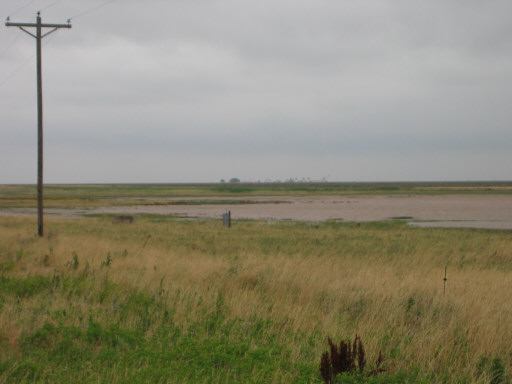
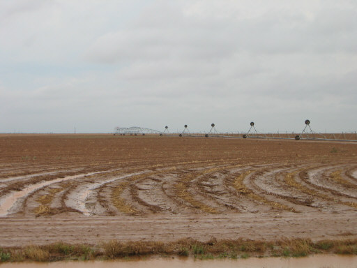
By early evening, one supercell over the central South Plains began to steal the show, growing quite large, rotating violently, and changing course, moving slowly to the east, and then southeast. This large storm presented many threats, producing a number of tornado reports, from just east of Petersburg, through McCoy, and north and east of Crosbyton. Additionally, this storm produced very large hail and flash flooding. The flooding was most severe in central and southern Floyd County, where the large storm and slow forward motion combined to produce copious amounts of precipitation.

Later in the evening, the storms evolved into a larger complex, producing hail and high winds over portions of the Rolling Plains.


Note: The below information contains preliminary reports as they were received throughout the severe weather event. Some reports may show multiple reports of tornadoes. This can occur as various sources witness the same tornado from different locations at different times. The official account of tornado occurrences across the area during the event will be compiled once all the information has been gathered and reviewed in detail. However, all reports are important to the National Weather Service and a sample of them can be seen below.

PRELIMINARY LOCAL STORM REPORTS:

  TIME            DATE        OFFICE    COUNTY           LOCATION               REPORT
 (CDT)   

*05:00 pm 06/09/2005 (LUB) LAMB TX (9 NNE SPADE) 0.75 INCH HAIL
*05:20 pm 06/09/2005 (LUB) HOCKLEY TX (5 SE ANTON) 1.00 INCH HAIL
*05:25 pm 06/09/2005 (LUB) LUBBOCK TX (6 NW SHALLOWATER) 1.00 INCH HAIL
*05:35 pm 06/09/2005 (LUB) HALE TX (0 N EDMONSON) 1.00 INCH HAIL
*05:35 pm 06/09/2005 (LUB) HALE TX (11 N SHALLOWATER) 1.75 INCH HAIL
*05:38 pm 06/09/2005 (LUB) HALE TX (0 N HALFWAY) 1.00 INCH HAIL
*05:50 pm 06/09/2005 (LUB) LUBBOCK TX (1 W NEW DEAL) 1.00 INCH HAIL
*05:50 pm 06/09/2005 (LUB) HALE TX (0 N EDMONSON) 1.75 INCH HAIL
*05:53 pm 06/09/2005 (LUB) SWISHER TX (5 S TULIA) 1.75 INCH HAIL
*06:00 pm 06/09/2005 (LUB) SWISHER TX (0 N TULIA) 0.88 INCH HAIL
*06:08 pm 06/09/2005 (LUB) LUBBOCK TX (2 S ABERNATHY) 1.75 INCH HAIL
*06:10 pm 06/09/2005 (LUB) HALE TX (0 N ABERNATHY) 1.75 INCH HAIL
*06:20 pm 06/09/2005 (LUB) SWISHER TX (0 N KRESS) 1.00 INCH HAIL
*06:22 pm 06/09/2005 (LUB) HALE TX (4 N HALE CENTER) 1.75 INCH HAIL
*06:24 pm 06/09/2005 (LUB) HALE TX (6 E HALE CENTER) 0.75 INCH HAIL
*06:25 pm 06/09/2005 (LUB) HALE TX (0 N PETERSBURG) TSTM WND DMG
*06:27 pm 06/09/2005 (LUB) SWISHER TX (0 N KRESS) 2.00 INCH HAIL
*06:29 pm 06/09/2005 (LUB) HALE TX (4 NE ABERNATHY) 4.00 INCH HAIL
*06:30 pm 06/09/2005 (LUB) HALE TX (5 NE ABERNATHY) 3.00 INCH HAIL
*06:30 pm 06/09/2005 (LUB) HALE TX (3 NE ABERNATHY) 2.50 INCH HAIL
*06:32 pm 06/09/2005 (LUB) HALE TX (0 N PLAINVIEW) 1.00 INCH HAIL
*06:38 pm 06/09/2005 (LUB) HALE TX (9 E ABERNATHY) 1.75 INCH HAIL
*06:45 pm 06/09/2005 (LUB) HALE TX (3 E PLAINVIEW) 2.75 INCH HAIL
*06:52 pm 06/09/2005 (LUB) HALE TX (2 NE PLAINVIEW) 2.75 INCH HAIL
*07:00 pm 06/09/2005 (LUB) HALE TX (0 N PETERSBURG) TSTM WND DMG
*07:04 pm 06/09/2005 (LUB) SWISHER TX (0 N TULIA) 1.00 INCH HAIL
*07:44 pm 06/09/2005 (LUB) BRISCOE TX (8 NW SILVERTON) 1.75 INCH HAIL
*07:46 pm 06/09/2005 (LUB) FLOYD TX (4 ESE PETERSBURG) TORNADO
*07:56 pm 06/09/2005 (LUB) FLOYD TX (11 SW FLOYDADA) TORNADO
*07:56 pm 06/09/2005 (LUB) FLOYD TX (10 SW FLOYDADA) TSTM WND DMG
*08:00 pm 06/09/2005 (LUB) HALE TX (6 N PETERSBURG) FLASH FLOOD
*08:19 pm 06/09/2005 (LUB) FLOYD TX (11 SSW FLOYDADA) 1.75 INCH HAIL
*08:20 pm 06/09/2005 (LUB) FLOYD TX (8 S FLOYDADA) TORNADO
*08:34 pm 06/09/2005 (LUB) FLOYD TX (8 SSE FLOYDADA) TORNADO
*08:50 pm 06/09/2005 (LUB) FLOYD TX (10 S FLOYDADA) TORNADO
*08:50 pm 06/09/2005 (LUB) HALE TX (5 N PETERSBURG) 2.75 INCH HAIL
*09:00 pm 06/09/2005 (LUB) FLOYD TX (11 WSW FLOYDADA) FLASH FLOOD
*09:10 pm 06/09/2005 (LUB) FLOYD TX (9 SE FLOYDADA) TSTM WND DMG
*09:20 pm 06/09/2005 (LUB) BRISCOE TX (12 N CAPROCK CANYON ST.) 0.88 INCH HAIL
*09:40 pm 06/09/2005 (LUB) FLOYD TX (9 SE FLOYDADA) 1.00 INCH HAIL
*09:40 pm 06/09/2005 (LUB) CROSBY TX (6 NE CROSBYTON) TORNADO
*09:40 pm 06/09/2005 (LUB) DICKENS TX (10 N DICKENS) 1.75 INCH HAIL
*09:47 pm 06/09/2005 (LUB) FLOYD TX (10 SW FLOYDADA) FLASH FLOOD
*10:00 pm 06/09/2005 (LUB) MOTLEY TX (1 W ROARING SPRINGS) 0.88 INCH HAIL
*10:00 pm 06/09/2005 (LUB) DICKENS TX (10 N DICKENS) TORNADO
*10:11 pm 06/09/2005 (LUB) DICKENS TX (5 N MCADOO) 1.75 INCH HAIL
*10:30 pm 06/09/2005 (LUB) DICKENS TX (6 W DICKENS) 1.75 INCH HAIL
*10:54 pm 06/09/2005 (LUB) DICKENS TX (0 N DICKENS) 1.00 INCH HAIL
*11:20 pm 06/09/2005 (LUB) COTTLE TX (10 SW PADUCAH) 60 MPH TSTM WND GST
*11:27 pm 06/09/2005 (LUB) COTTLE TX (3 WSW PADUCAH) 60 MPH TSTM WND GST
*11:30 pm 06/09/2005 (LUB) KING TX (15 S PADUCAH) 0.88 INCH HAIL
*11:30 pm 06/09/2005 (LUB) COTTLE TX (0 N PADUCAH) TSTM WND DMG
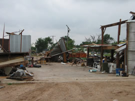
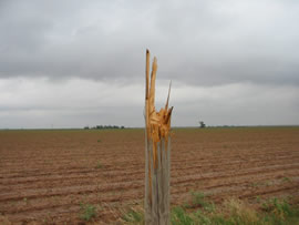
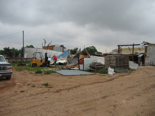
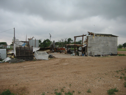
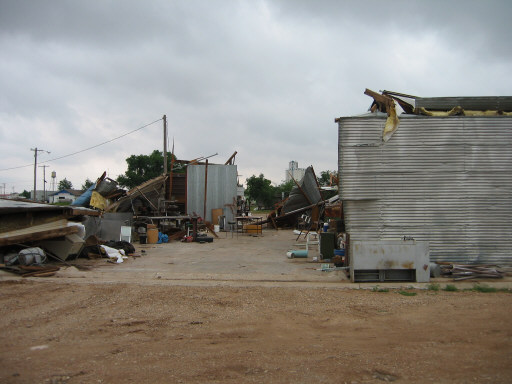
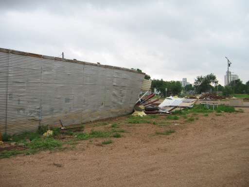
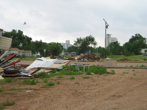
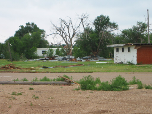
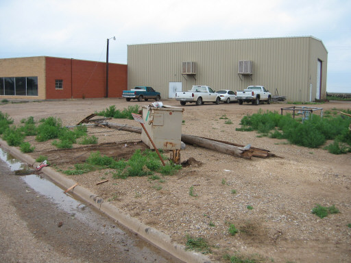
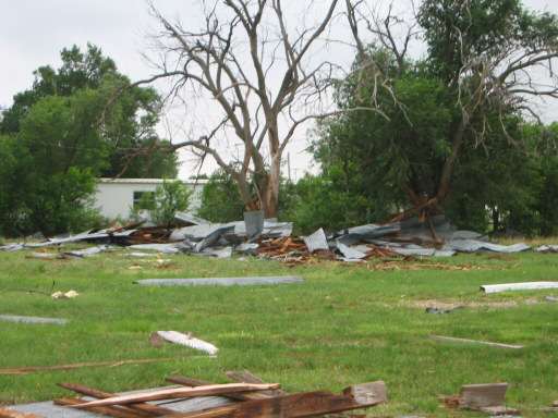
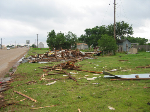
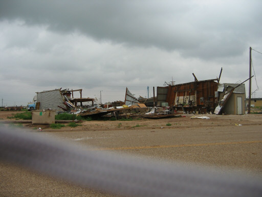
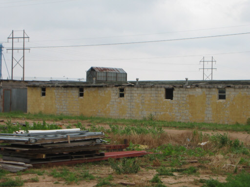
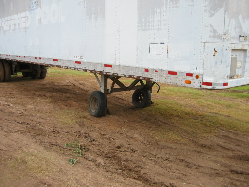
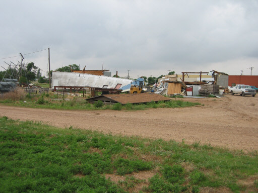
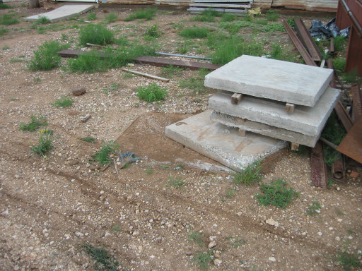
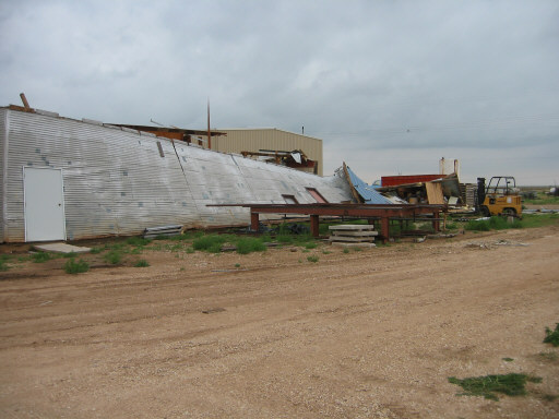
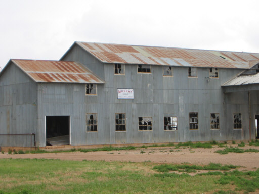
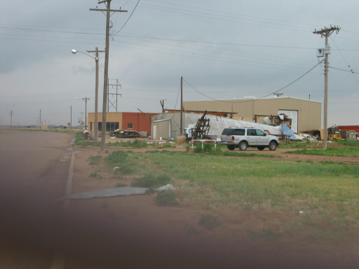
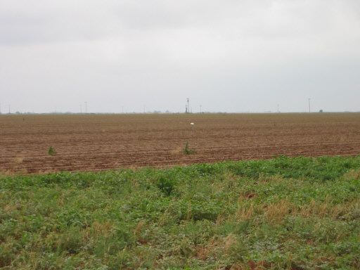
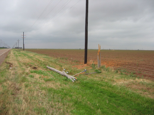
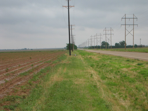
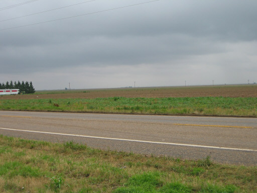
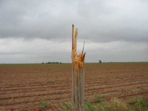
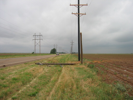
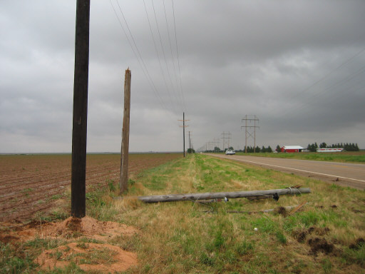
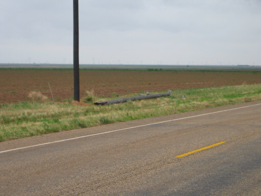
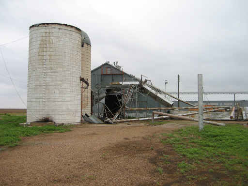
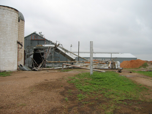
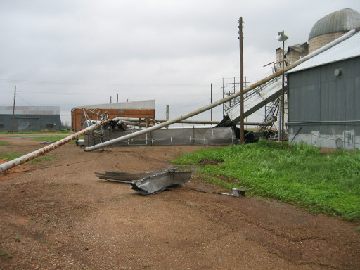
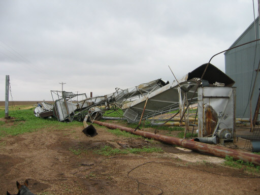
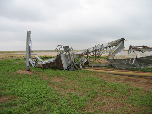
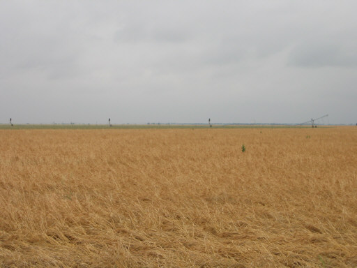
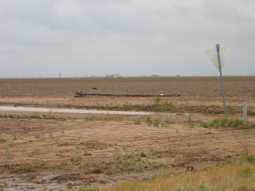
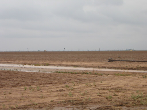
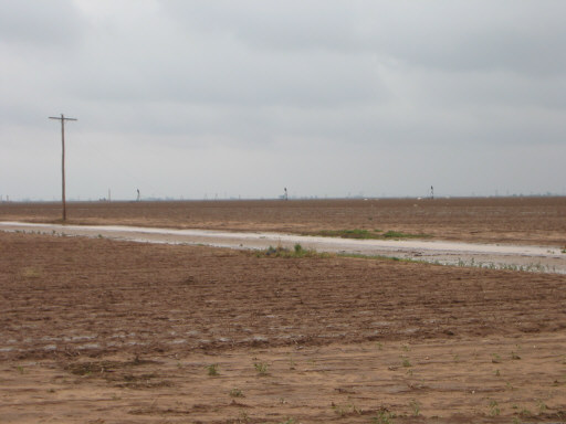
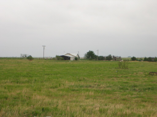
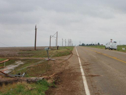
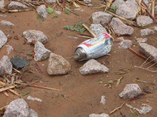
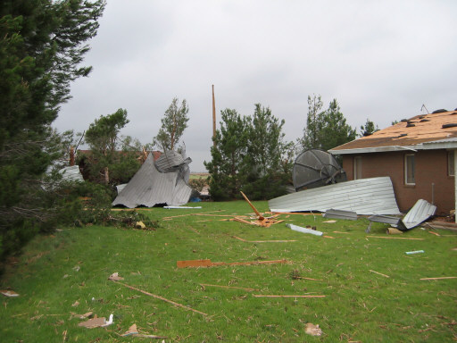
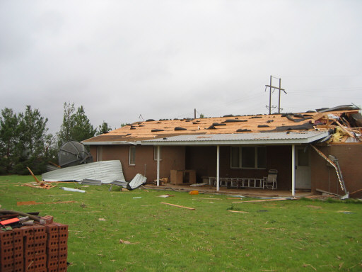
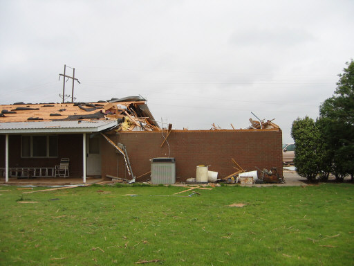
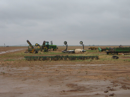
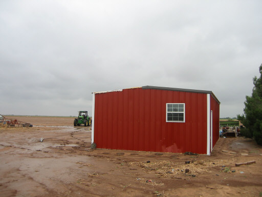
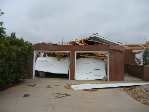
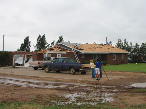
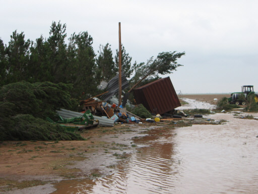
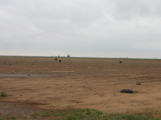
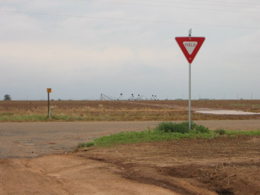
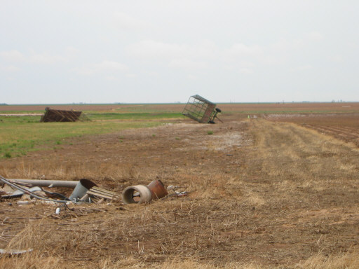
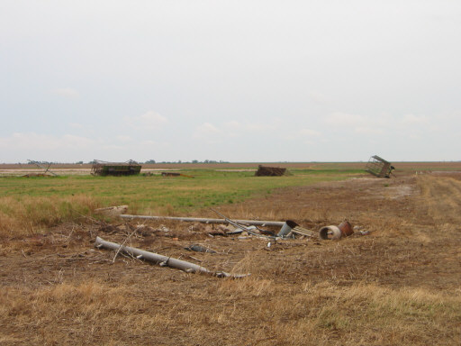
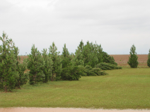
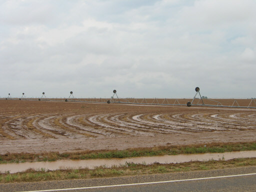
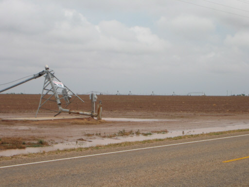
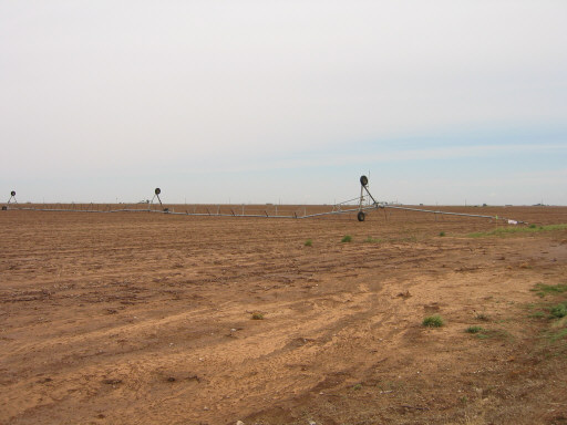
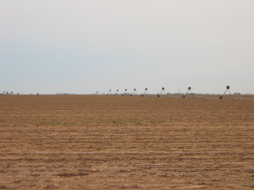
DAMAGE PICTURES:

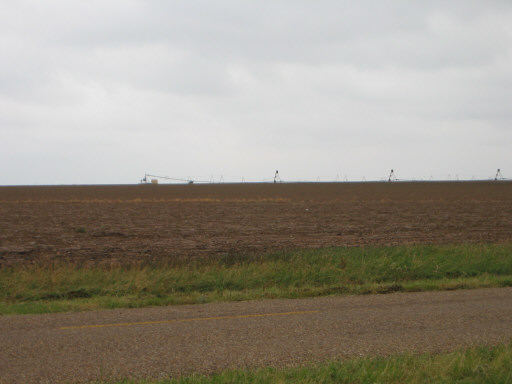
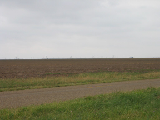
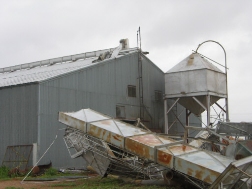
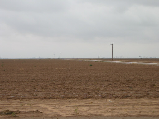
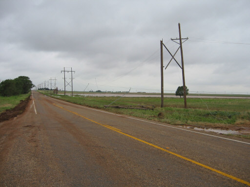
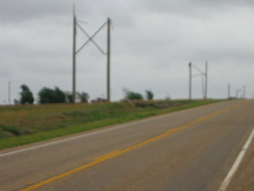
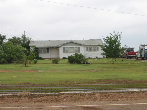
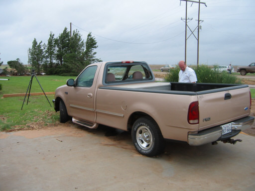
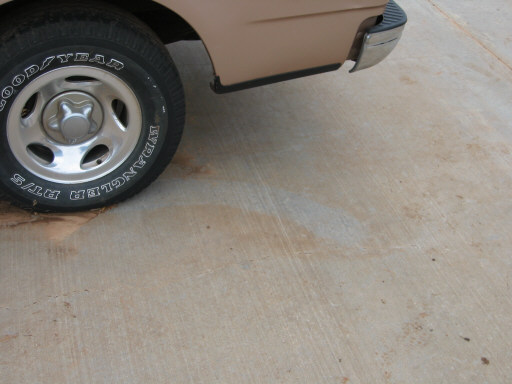
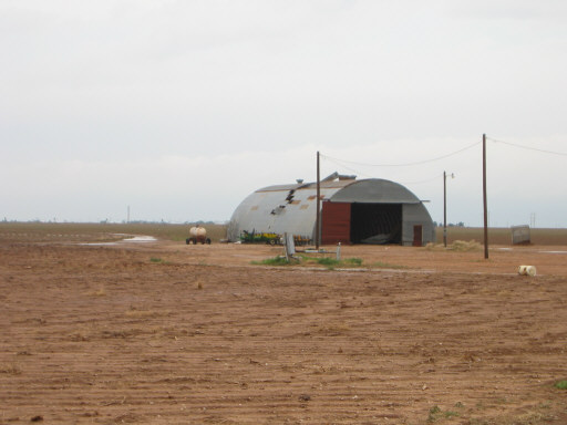
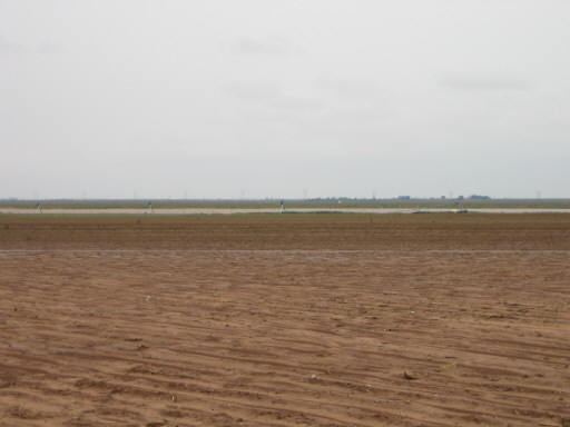
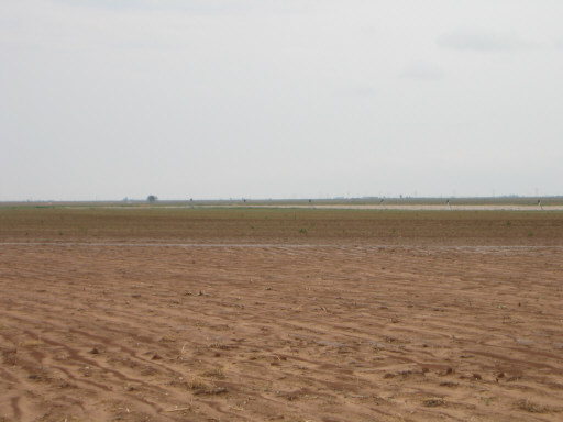
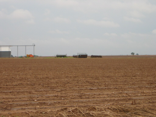
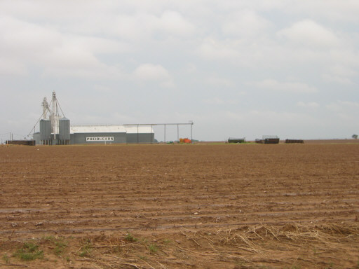
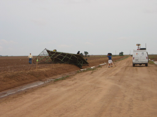
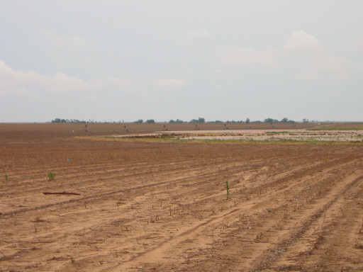
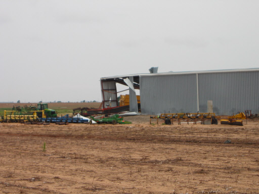
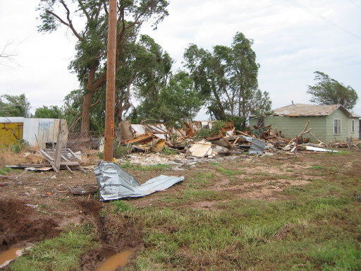
Below are a number of pictures taken of damage produced by the tornadic thunderstorm in extreme southeast Hale County and southwest and south-central Floyd County. The photographs were taken by Brian LaMarre, Warning Coordination Meteorologist, WFO Lubbock, TX.

Image of damage from June 9, 2005 storm. Photograph taken by Brian LaMarre, Warning Coordination Meteorologist, WFO Lubbock, TX. Image of damage from June 9, 2005 storm. Photograph taken by Brian LaMarre, Warning Coordination Meteorologist, WFO Lubbock, TX.