
Dangerous heat will expand from the Gulf Coast into the Southern Plains and Desert Southwest through week's end. Additional extreme heat impacting the Pacific Northwest will shift to the northern Plains by the weekend. Tropical Storm Bertha is expected to continue to impact portions of the northern Gulf Coast from the western Florida Panhandle to southeastern Louisiana through tonight. Read More >
| Wind and Dust Returns to West Texas 23 February 2017 |
|
 |
|
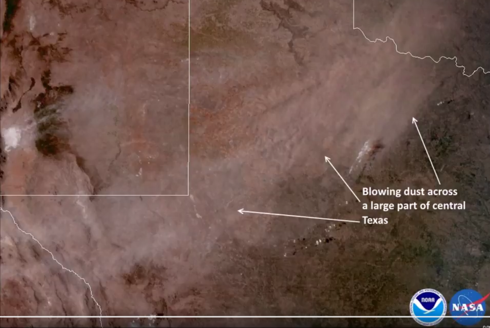
| Visible satellite image captured Thursday afternoon (23 February 2017). Areas of blowing dust stretch from Far West Texas into southwest Oklahoma. Additional dust can be seen streaming east-northeastward from White Sands National Monument. | |
| A potent storm system emerging from the Rockies carried strong and dry winds squarely across West Texas on Thursday (23 February 2017). The winds quickly increased during the morning hours and peaked during the afternoon before gradually weakening by evening. During their peak the winds did loft plenty of blowing dust, as is visualized in the above satellite imagery. | |
 |
|
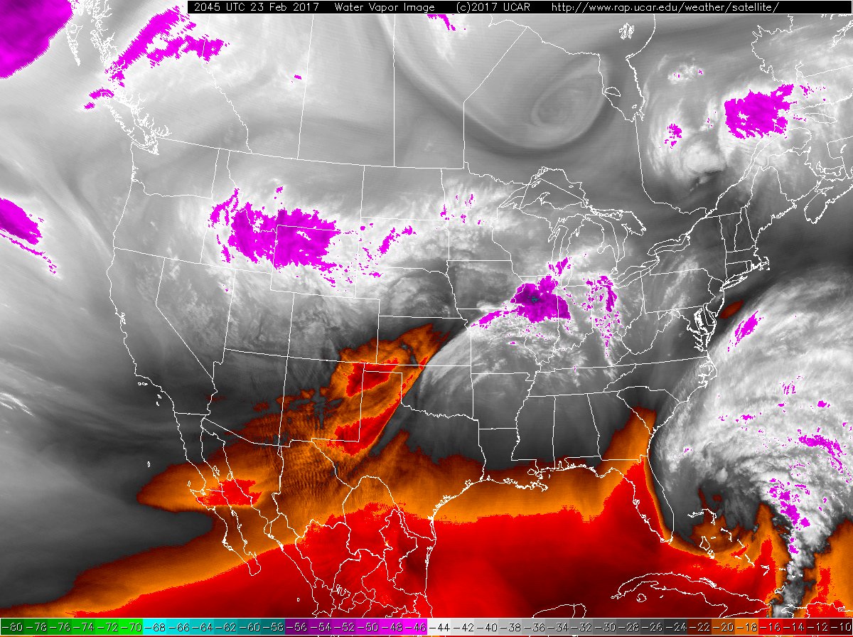
| Water vapor image captured at 2:45 pm Thursday afternoon (23 February 2017). The storm system that brought West Texas the strong winds can be visualized spreading out of the Rockies into the High Plains, with very dry air overspreading the region. | |
| The system that created the West Texas wind-maker also dumped a large swath of snow from Wyoming through Nebraska, southern Minnesota and into Wisconsin where spots recorded in excess of a foot. Although we didn't see any precipitation here in the South Plains region the radar did sense a few swaths of blowing dust. | |
 |
|
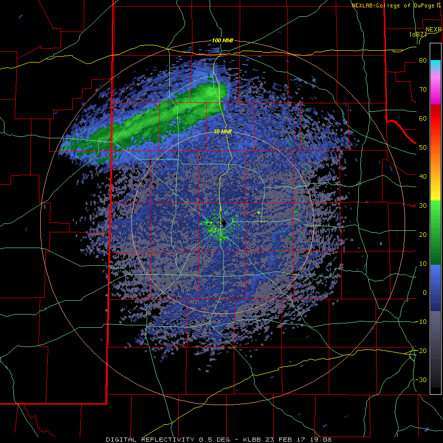
| KLBB radar animation valid from 1:08 pm to 2:56 pm on Thursday (23 February 2017). | |
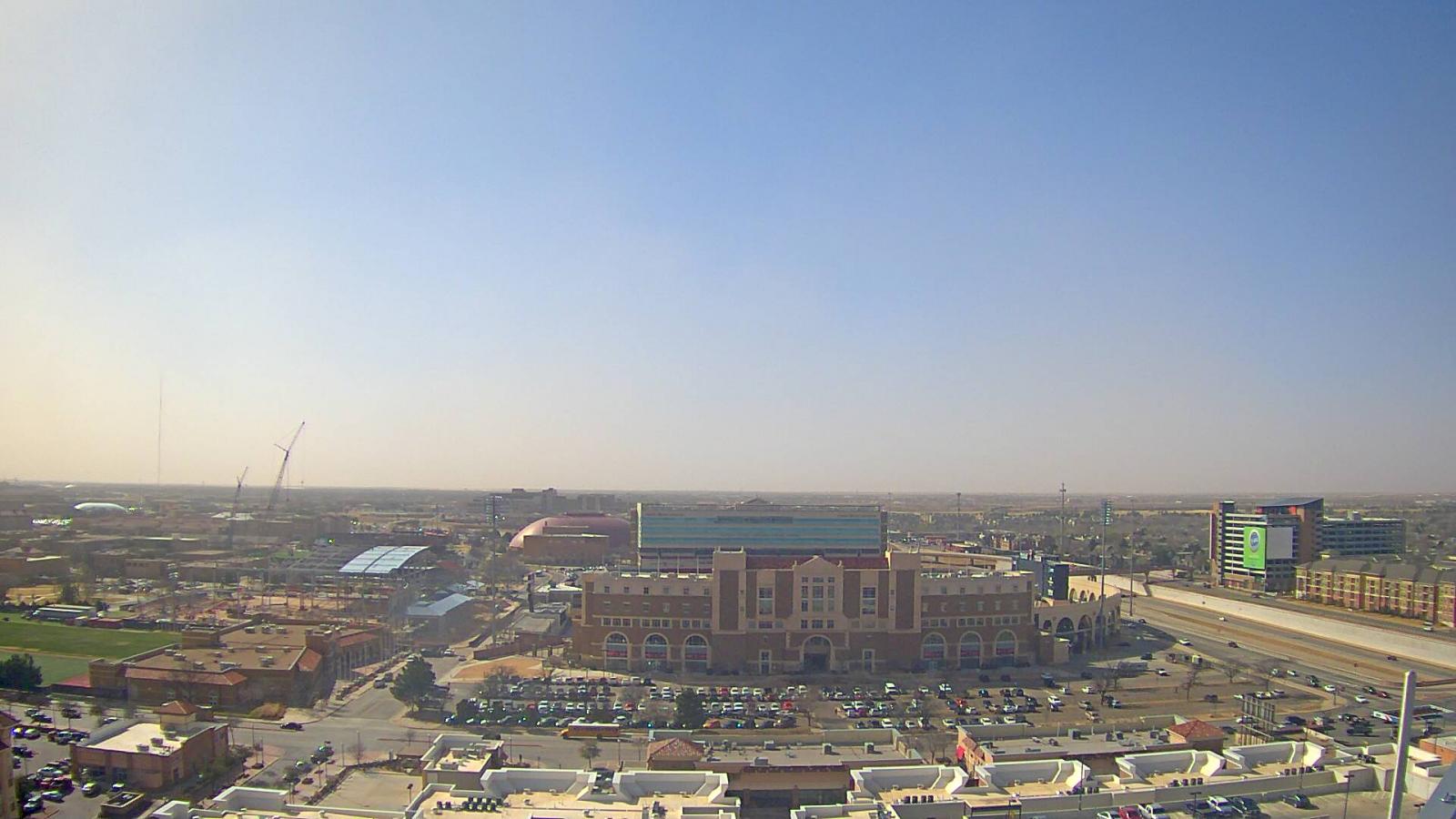
| Below are a couple of views of the dusty skies Thursday afternoon. Thankfully visibility never fell too low, though it did still make for an uncomfortable afternoon. | |
 |
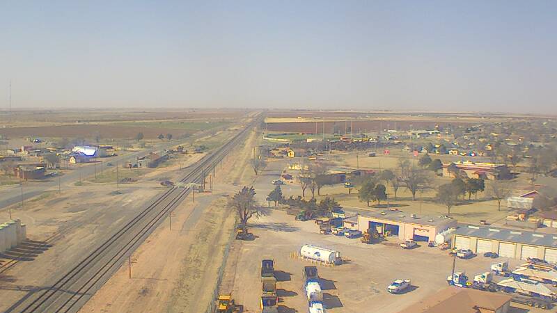 |
| Dusty horizon in Lubbock (left) and Shallowater (right) shortly after 3 pm on Thursday (23 February 2017). The images are courtesy of KAMC. | |
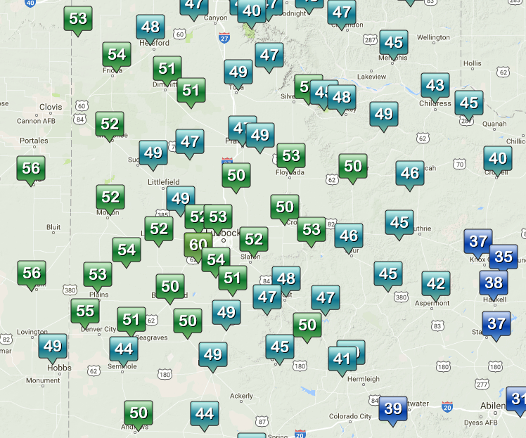
| Wind gusts of 45 to 55 mph were common across the area Thursday afternoon. The strongest winds were directed across the southwest into the central South Plains, with a maximum wind gust of 60 mph recorded by the West Texas Mesonet site in near Wolfforth. Officially the Lubbock Airport record a peak wind gust of 57 mph. | |
 |
|
| Maximum wind gusts observed by the West Texas Mesonet on Thursday, 23 February 2017. The maximum wind speeds for the day can be FOUND HERE. | |
| The strong winds also paired with warm and dry conditions to create a high fire danger. A few relatively small fires did affect the South Plains, but a large wildfire ignited in Oldham County, southeast of Channing, scorching 13,000 acres before finally being contained the next day. | |

