National Weather Service United States Department of Commerce
Click a location below for detailed forecast.

Last Map Update: Wed, Aug 27, 2025 at 5:06:28 am CDT

After some morning low clouds, mostly sunny skies can be expected today. Temperatures will be warmer today with highs mostly in the lower 90s.
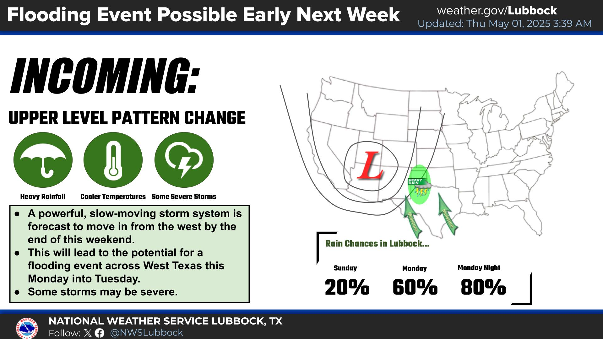
There is an increasing potential for a heavy rain event this weekend, especially Saturday, across West Texas. Thunderstorm chances are high, with numerous storms forecast to develop during the afternoon and especially the evening hours Saturday. The risk for excessive rainfall includes all of the South Plains, the Rolling Plains, and the far southern Panhandle. Hourly rain rates may be conducive for flash flooding.
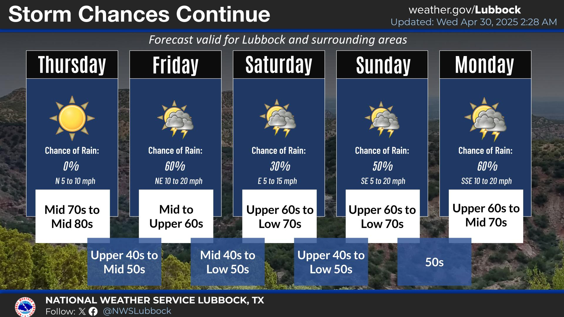
A cold front is forecast to move into the region Thursday, and stall Friday and into the weekend. Chances for thunderstorms will increase Thursday and into the weekend, with heavy rainfall possible this weekend. Some storms may be severe.


Local Weather History For August 27th...
2005: An outbreak of severe thunderstorms developed across the NWS Lubbock forecast area late this Saturday afternoon and
continued through the pre-midnight hours. A mesoscale convective system, or a large and organized complex of intense
thunderstorms, developed in a classic northwest flow regime commonly associated with producing these expansive storm
systems. Initially, several reports of hail were received throughout the South Plains, with one instance of baseball size
hail in Parmer County and even softball size hail observed in Bailey County, but the greatest threat arrived later this
evening in the form of destructive straight-line winds measured up to 69 mph at a West Texas Mesonet station five miles
south of Graham. About eight miles west of Post in Garza County, over $650,000 in crop damage was sustained with $75,000
in structural damage after downburst winds damaged farm implements, center pivot irrigators, uprooted numerous large
trees, and snapped 49 power poles. This complex of storms also produced widespread flooding in Parmer, Bailey and Lamb
Counties where numerous roads became impassable due to high water. One motorist became stranded west of Amherst and
required rescuing by First Responders.