 |
 |
 |
 |
| Visible | IR | National Surface | Regional Surface |
 |
| Northern Plains |
Local Radars
| Omaha | Hastings | |||
 |
 |
 |
 |
|
| Reflectivity | Velocity | Reflectivity | Velocity | |
| Topeka | Sioux Falls | |||
 |
 |
 |
 |
|
| Reflectivity | Velocity | Reflectivity | Velocity | |
| Kansas City | Des Moines | |||
 |
 |
 |
 |
|
| Reflectivity | Velocity | Reflectivity | Velocity |
 |
 |
 |
 |
 |
 |
 |
| Current | 3 hrs | 6 hrs | 9 hrs | 12 hrs | 15 hrs | 18 hrs |
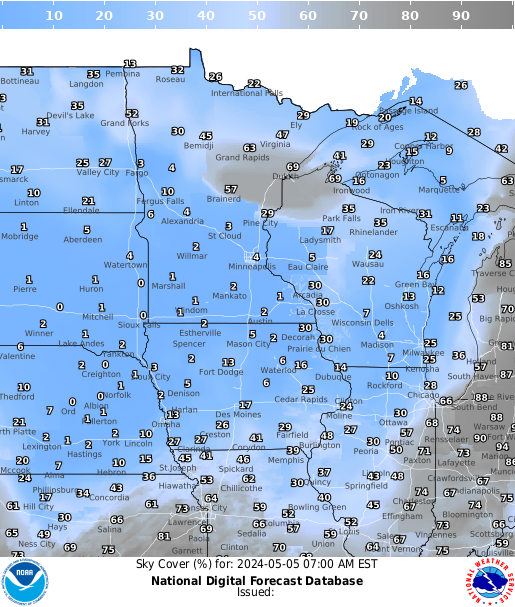
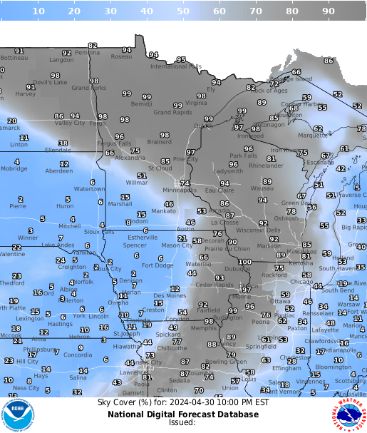
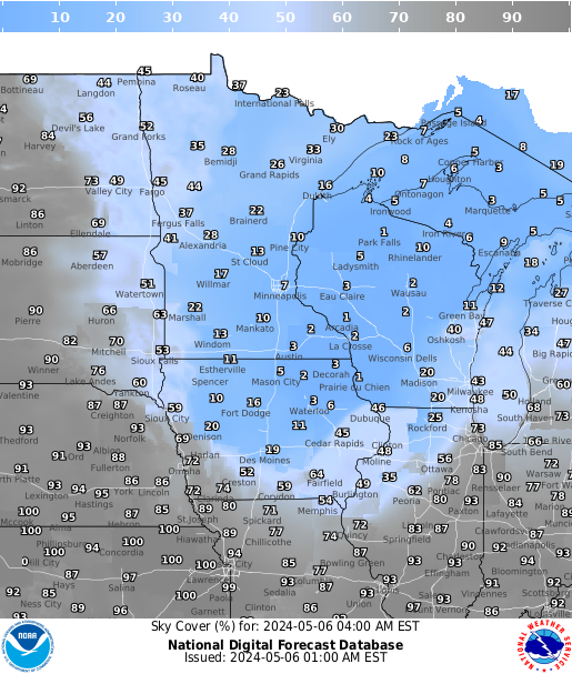
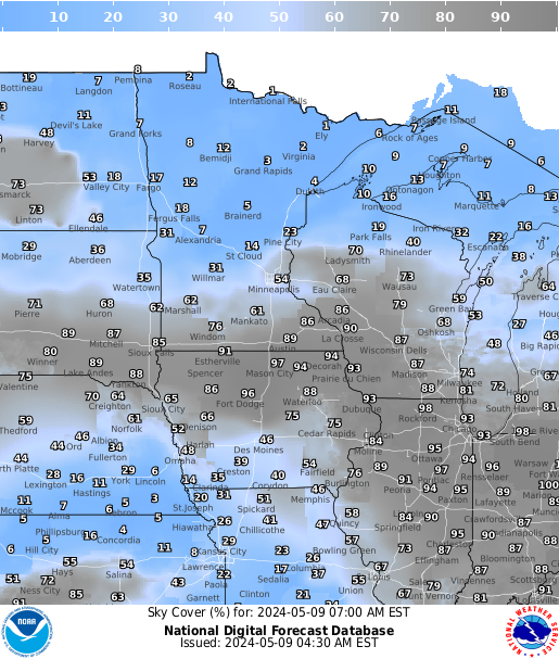
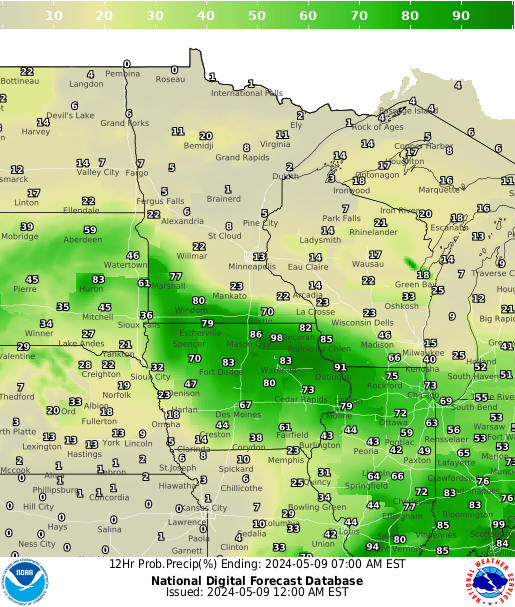
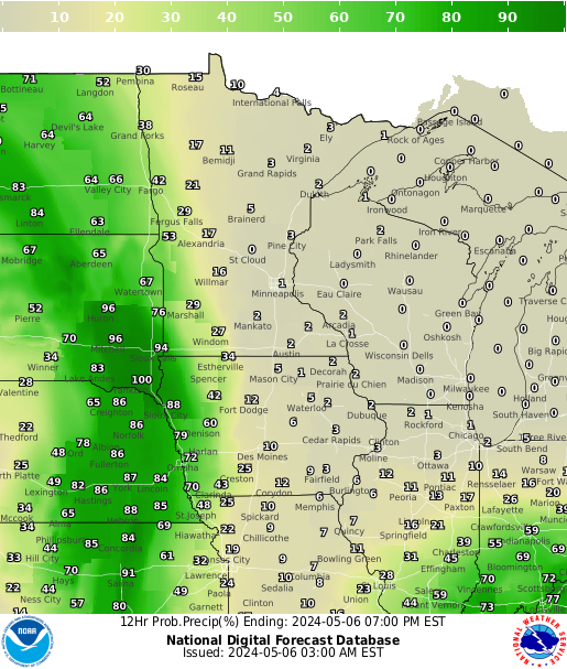
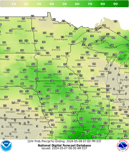
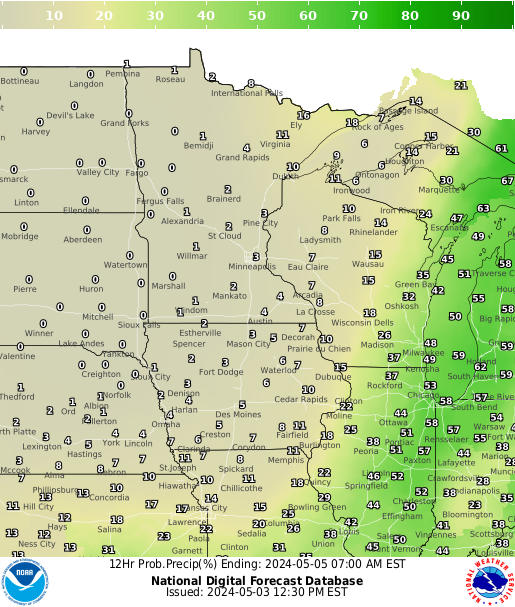
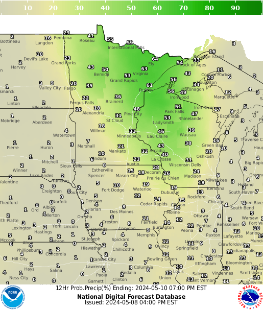
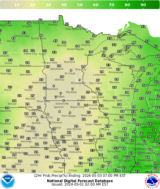
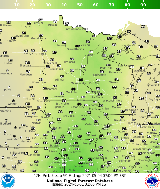
Precipitation Chances
 |
 |
 |
 |
 |
 |
 |
| 12 hrs | 24 hrs | 36 hrs | 48 hrs | 60 hrs | 72 hrs | 84 hrs |
 |
 |
 |
 |
 |
 |
 |
| Current | 3 hrs | 6 hrs | 9 hrs | 12 hrs | 15 hrs | 18 hrs |
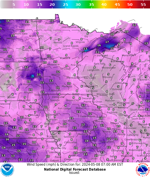
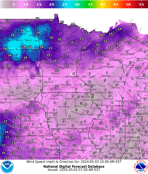
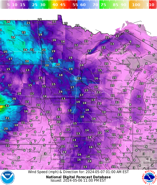
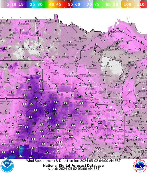
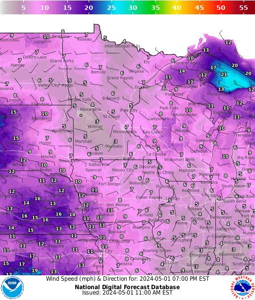
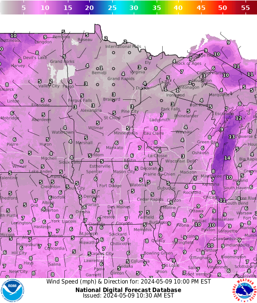
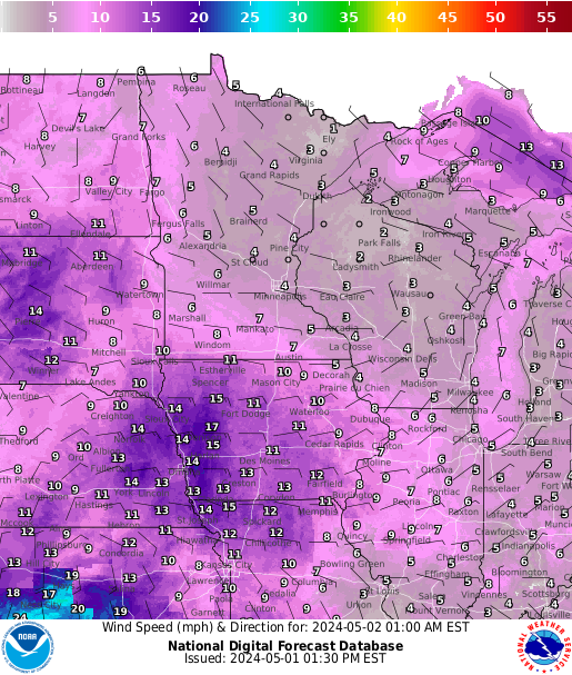
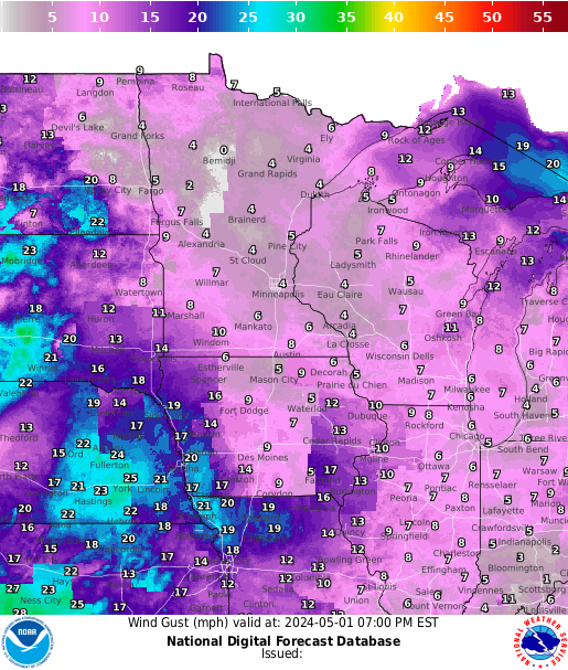
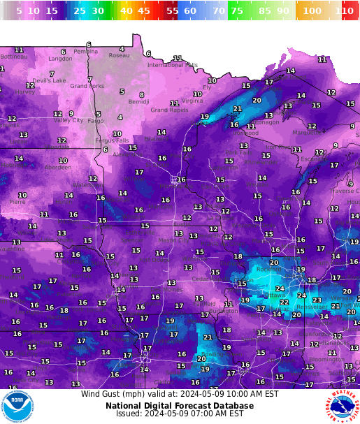
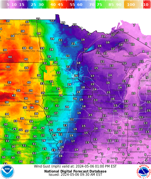
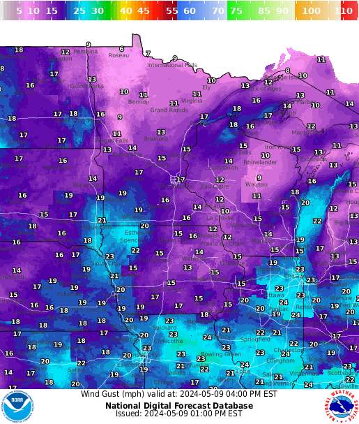
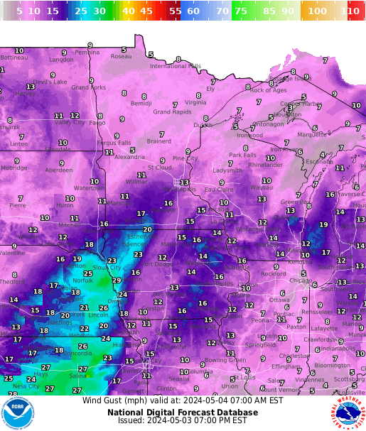
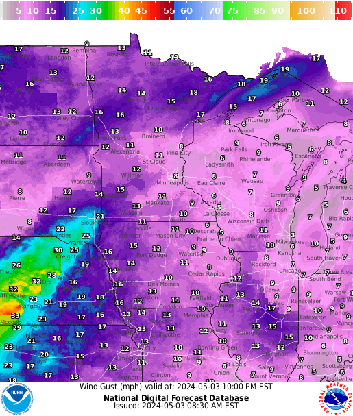
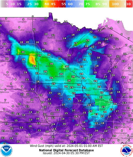
Surface Gusts
 |
 |
 |
 |
 |
 |
 |
| Current | 3 hrs | 6 hrs | 9 hrs | 12 hrs | 15 hrs | 18 hrs |
3000 ft
 |
 |
 |
 |
 |
 |
 |
| Current | 3 hrs | 6 hrs | 9 hrs | 12 hrs | 15 hrs | 18 hrs |
6000 ft
 |
 |
 |
 |
 |
 |
 |
| Current | 3 hrs | 6 hrs | 9 hrs | 12 hrs | 15 hrs | 18 hrs |
Interactive AIRMET/SIGMET Page
 |
 |
 |
 |
 |
| PIREPS-Turbulence | PIREPS-Icing | SIGMET-Convective | SIGMET-Icing | SIGMET-Turbulence
|


 Follow us on YouTube