|
Pittsburgh International Airport Scroll over for the latest: ******************************************* Terminal Aerodome Forecast Aviation Forecast Discussion *******************************************
|
|---|
|
Beaver County Airport Scroll over for the latest: ******************************************* Terminal Aerodome Forecast Aviation Forecast Discussion *******************************************
|
|---|
|
Allegheny County Airport Scroll over for the latest: ******************************************* Terminal Aerodome Forecast Aviation Forecast Discussion *******************************************
|
|---|
|
Morgantown Municipal Airport - Walter L. Bill Hart Field Scroll over for the latest: ******************************************* Terminal Aerodome Forecast Aviation Forecast Discussion *******************************************
|
|---|
|
Wheeling Ohio County Airport Scroll over for the latest: ******************************************* Terminal Aerodome Forecast Aviation Forecast Discussion *******************************************
|
|---|
|
Dubois Regional Airport Scroll over for the latest: ******************************************* Terminal Aerodome Forecast Aviation Forecast Discussion *******************************************
|
|---|
|
Zanesville Municipal Airport Scroll over for the latest: ******************************************* Terminal Aerodome Forecast Aviation Forecast Discussion *******************************************
|
|---|
|
Arnold Palmer Regional Airport Scroll over for the latest: ******************************************* Terminal Aerodome Forecast Aviation Forecast Discussion *******************************************
|
|---|
|
Venango Regional Airport Scroll over for the latest: ******************************************* Terminal Aerodome Forecast Aviation Forecast Discussion *******************************************
|
|---|

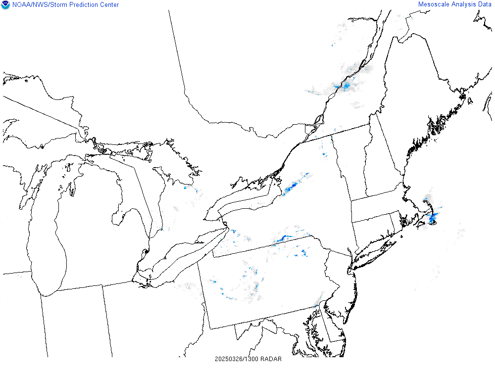
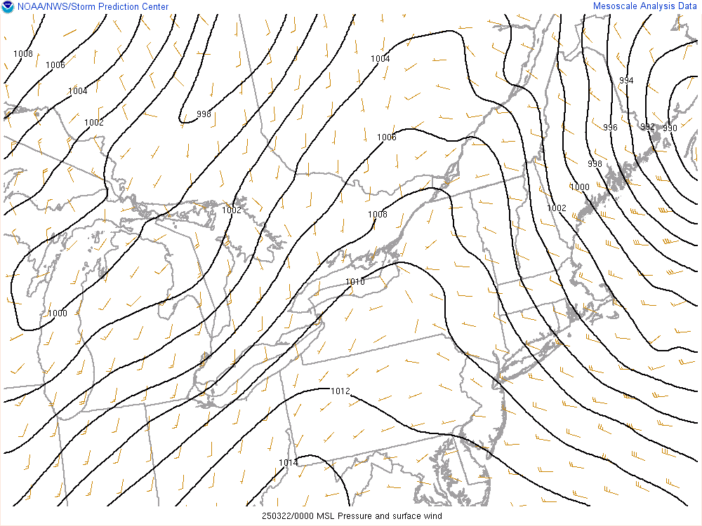
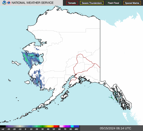
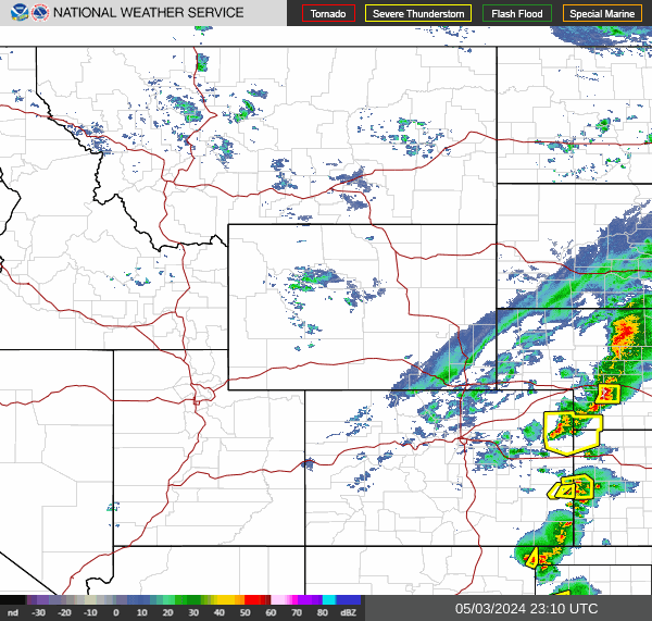
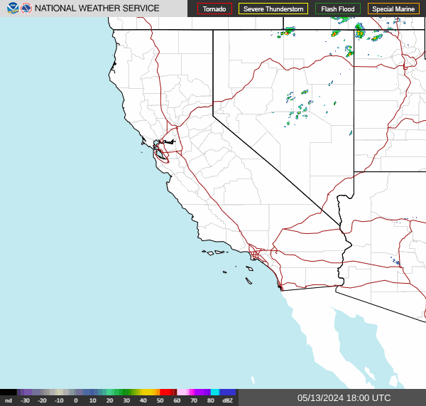
| National Radar Mosaic Sectors Loops (click image) |
 |
 |
 |
 |
 |
 |
 |
 |
 |
 |
 |
 |
| Geocolor | GLM Lightning Flash Density | Day Night Cloud Micro Combo |
|---|---|---|
 |
 |
 |