Long Term Forecasts
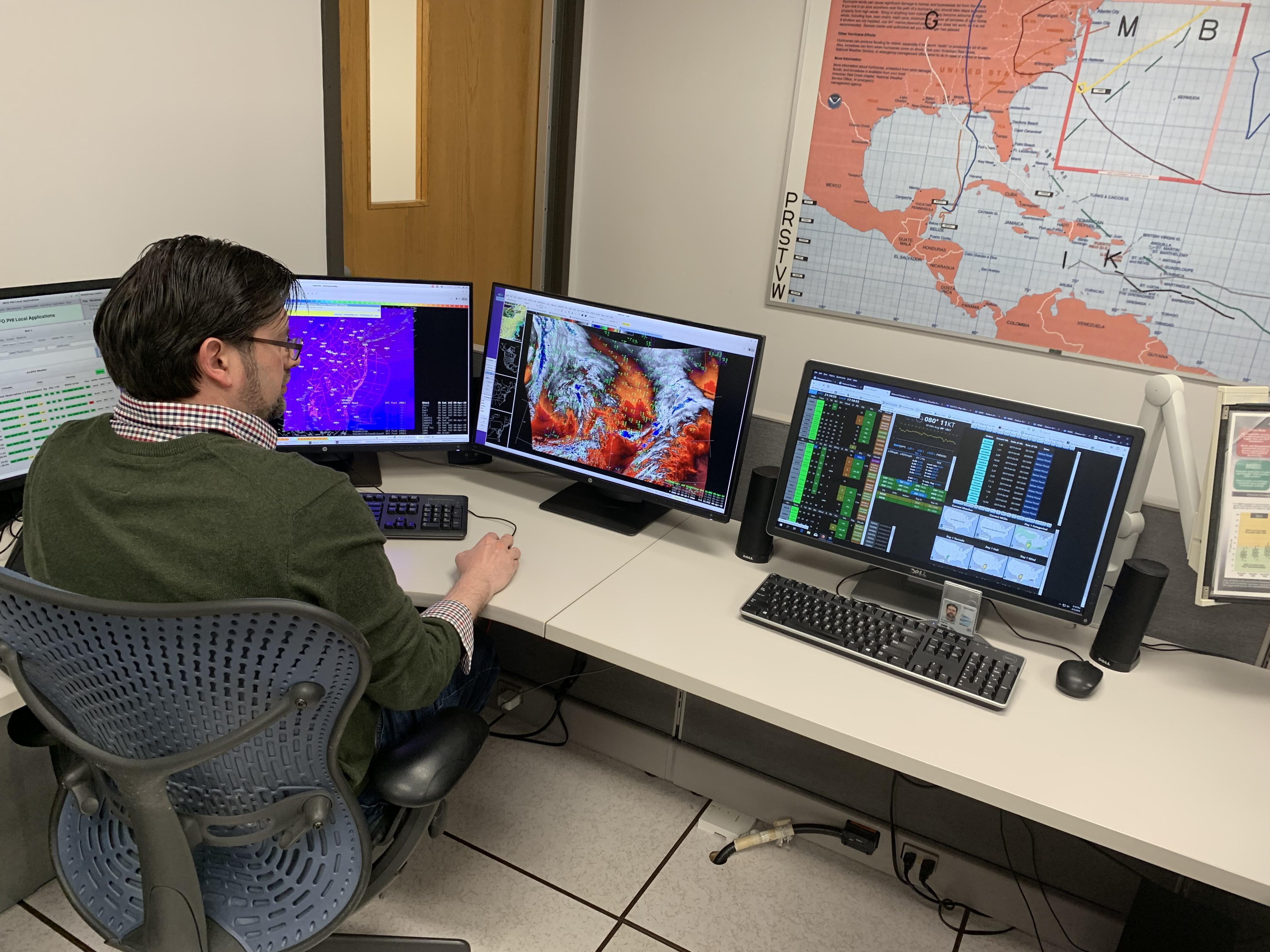 Pictured: Meteorologist Lee Robertson
The long term forecaster prepares and issues all long term products (typically hour 36-to-day 7) using the Graphical Forecast Editor (GFE). The graphical portion is in gridded format, which also is turned into text. Some of the products issued include the
Area Forecast Discussion,
Zone Forecast, and
digital products. Forecasts are routinely issued between the hours of 3 and 4 a.m. and again between 3 and 4 p.m., and are updated at anytime when conditions warrant.
All 122 NWS offices are responsible for issuing forecasts through day 7. Forecasts for day 8 through two years are prepared by NWS National Centers, such as the Weather Prediction Center and the Climate Prediction Center.
Here are some of the advisories/watches/warnings issued from this desk:
- Special Weather Statement
- Flood/Flash Flood Watch
- High Wind Watch/Warning/Advisory
- Excessive Heat Watch/Warning/Advisory
- Winter Storm Watch/Warning/Advisory
- Blizzard Warning
- Wind Chill Advisory/Warning
- Frost/Freeze Warning
- Dense Fog Advisory
CLICK HERE to go to the next tour (Short term forecast)


 Coastal Flood
 Marine Forecasts
 Text Products
 Climate Information
 Skywarn
 Submit Storm Report
 Weather Event Archives
 Forecast Discussion
 Emergency Managers
 Briefing Page