
A heat wave over the Southwest will intensify this week, peaking and expanding into the Intermountain West and northern High Plains this weekend. Critical to extremely critical fire weather conditions are forecast from the Northwest and the northern Great Basin this weekend. Particularly Dangerous Situation Red Flag Warnings have been issued. Read More >
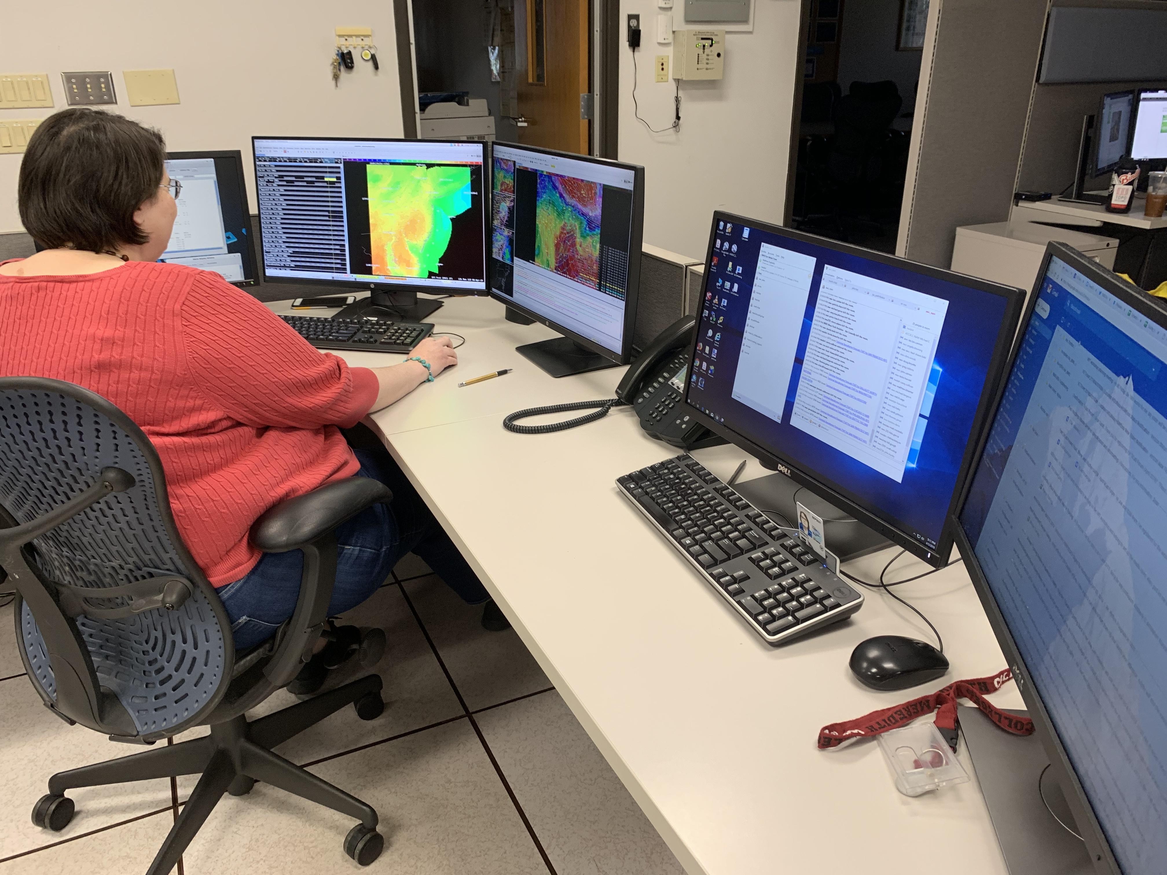
The short term forecaster issues forecasts for hours 0-to-36 (short and near term). Additionally, this forecaster will also issue the fire weather forecast, which is used by the Divisions of Forestry in Pennsylvania, New Jersey, Delaware, and Maryland. The short and near term forecasts provide detailed information on the amount of cloud cover, chance of precipitation (as well as precipitation type and amount), max/min temperatures, wind speed and direction, lightning, and relative humidity that can be expected across the County Warning Area (CWA).
The short term forecaster also typically issuse the Terminal Aerodrome Forecasts (TAFs) for several airports in our CWA:


 Coastal Flood
 Marine Forecasts
 Text Products
 Climate Information
 Skywarn
 Submit Storm Report
 Weather Event Archives
 Forecast Discussion
 Emergency Managers
 Briefing Page