National Weather Service United States Department of Commerce

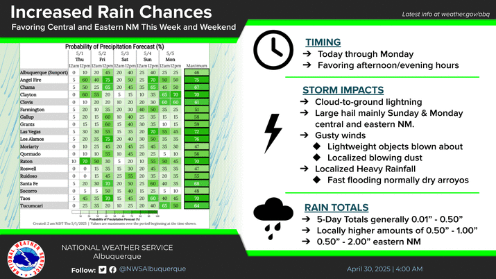
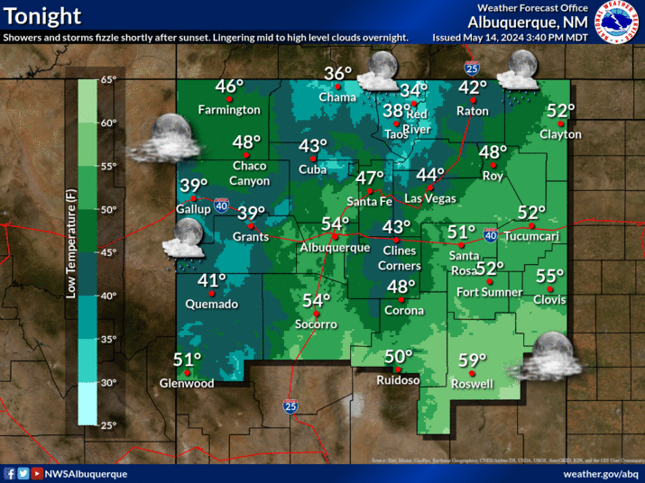
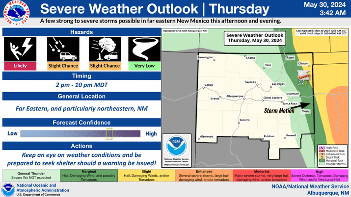
Severe weather is possible today from the Rio Grande Valley eastward to the Texas border. The greatest risk of large hail and damaging wind gusts will be in eastern NM during the mid to late afternoon hours.
The severe threat will focus over south-central and southeastern NM on Tuesday afternoon, however thunderstorms with dangerous lightning may develop anywhere in the region.
Slow moving storms will once again be capable of flash flooding on Tuesday, with a higher risk over the HPCC and especially the Ruidoso burn scar areas. Outside of the burn scars, southeast NM has a slight risk of seeing excessive rainfall capable of producing flash flooding.
The thunderstorm threat matrix indicates the probability of thunderstorms over wildfire burn areas.


Text Product Selector (Selected product opens in current window)


Submit Storm Report Icon

Submit Storm Report

Key Impacts Icon

Key Impacts

Observations Icon

Local Observations

Webcams Icon

Office Webcams

Satellite Icon

Satellite Imagery

Are You Prepared Icon

Are You Prepared?

Weekly Weather Briefing Icon

Weekly Weather Briefing

Area Forecast Discussion Icon

Area Forecast Discussion

Fire Weather Icon

Fire Weather

Aviation Weather Icon

Aviation Weather

Snow Probabilities Icon

Snow Probabilities

SKYWARN Icon

SKYWARN Spotters

On This Date in Weather History Icon

On This Date

Climate Graphs Icon

Climate Graphs

Drought Monitor Icon

Drought Monitor

Severe Weather Info and Climatology Icon

Severe Weather Climatology

Monsoon Awareness Icon

Monsoon Awareness

Winter Climatology Icon

Winter Climatology