National Weather Service United States Department of Commerce

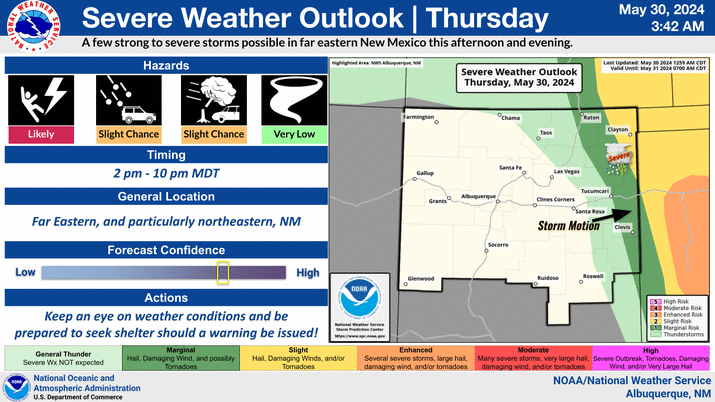
Another round of severe thunderstorms are possible for this afternoon and evening across eastern New Mexico. Large hail, frequent lightning and damaging wind gusts will be the main threats with these storms. Storms will linger across eastern NM through the overnight hours and may produce heavy rainfall capable of flash flooding.
Showers and thunderstorms will return this afternoon and continue through Tuesday night across eastern New Mexico. Heavy rainfall may lead to flash flooding. Expect water in normally dry arroyos and rises in creeks and streams. Never drive through water of unknown depth. Most deaths occur in automobiles.
Flood waters can be deceiving. You really don't know how deep the water is as the road may not be intact below. Turn around, don't drown.
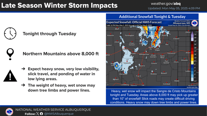
While much of northern and eastern New Mexico will be receiving rain, areas above 9,000 feet across the northern mountains will see snow. The majority of the snow will fall tonight through Tuesday morning. High mountain roads may be impassible at times.


Text Product Selector (Selected product opens in current window)


Submit Storm Report Icon

Submit Storm Report

Key Impacts Icon

Key Impacts

Observations Icon

Local Observations

Webcams Icon

Office Webcams

Satellite Icon

Satellite Imagery

Are You Prepared Icon

Are You Prepared?

Weekly Weather Briefing Icon

Weekly Weather Briefing

Area Forecast Discussion Icon

Area Forecast Discussion

Fire Weather Icon

Fire Weather

Aviation Weather Icon

Aviation Weather

Snow Probabilities Icon

Snow Probabilities

SKYWARN Icon

SKYWARN Spotters

On This Date in Weather History Icon

On This Date

Climate Graphs Icon

Climate Graphs

Drought Monitor Icon

Drought Monitor

Severe Weather Info and Climatology Icon

Severe Weather Climatology

Monsoon Awareness Icon

Monsoon Awareness

Winter Climatology Icon

Winter Climatology