
A Pacific storm system will continue to bring low elevation rain and mountain snow to much of the West through Wednesday, with heavy mountain snow expected in the higher elevations of the Sierra Nevada. This system will also bring strong winds to the Intermountain West, Rockies, and Plains, which will create Critical fire weather conditions for the High Plains. Read More >
Eastern Region Headquarters
Regional Headquarters
|
Click to enlarge
 Total QPF |
Click to enlarge
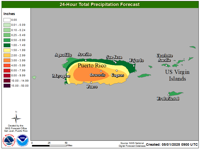 24-Hour QPF |
Click to enlarge
 Maximum Wind Gust |
|
Click to enlarge
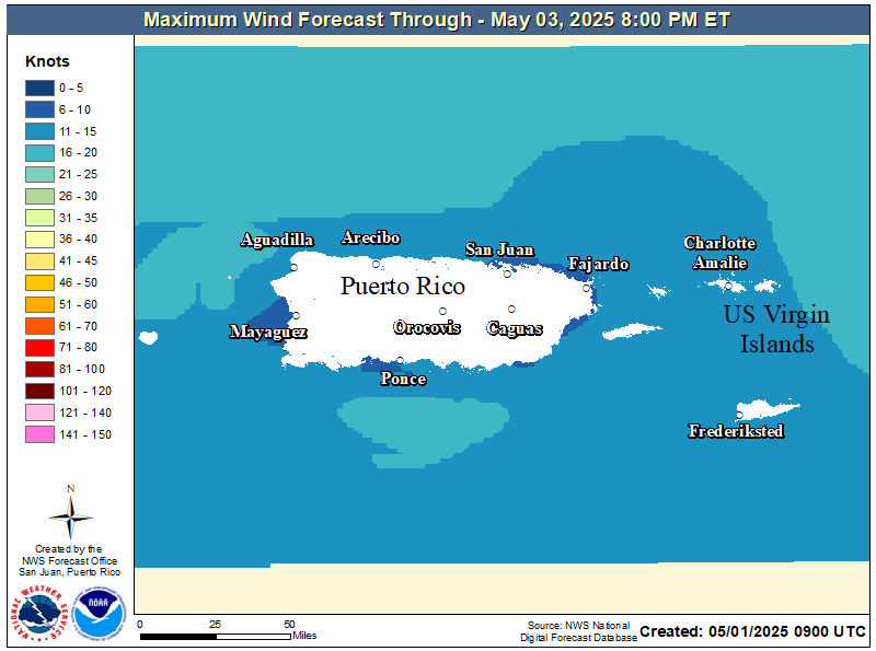 Max Marine Wind Speed |
|
Click to enlarge
 Maximum Temperautre Day 1 |
Click to enlarge
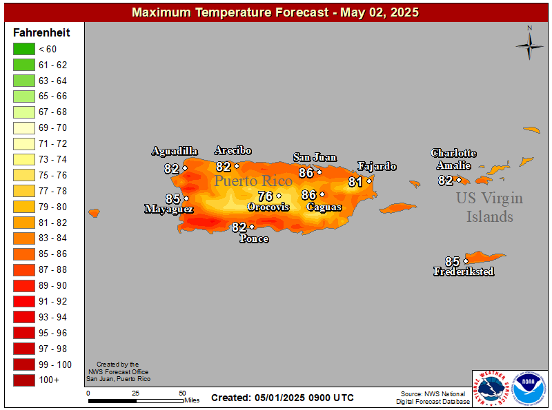 Maximum Temperature Day 2 |
Click to enlarge
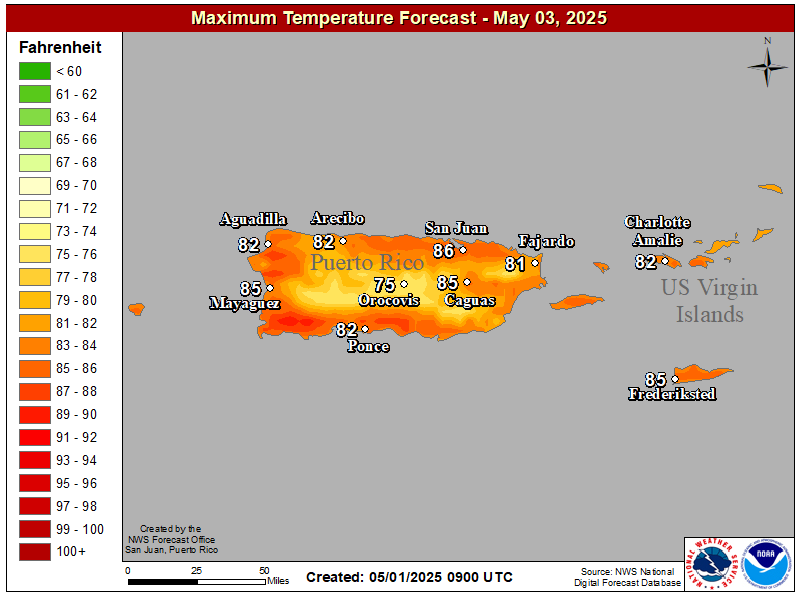 Maximum Temperature Day 3 |
|
Click to enlarge
 Minimum Temperature Day 1 |
Click to enlarge
 Minimum Temperature Day 2 |
Click to enlarge
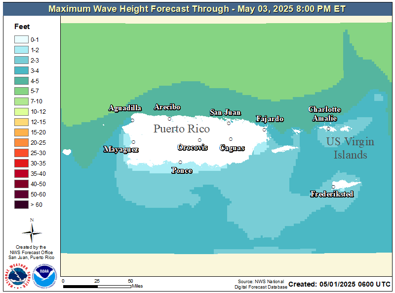 3-day Maximum Wave Height |
|
Click to enlarge
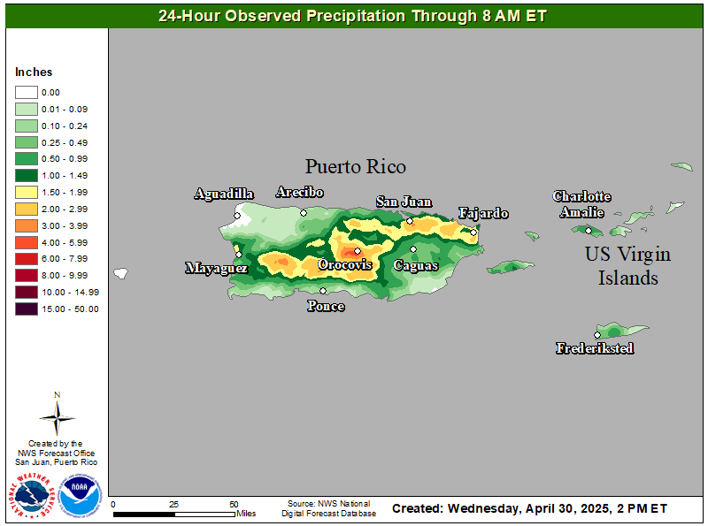 24-Hour Observed Precip |
Click to enlarge
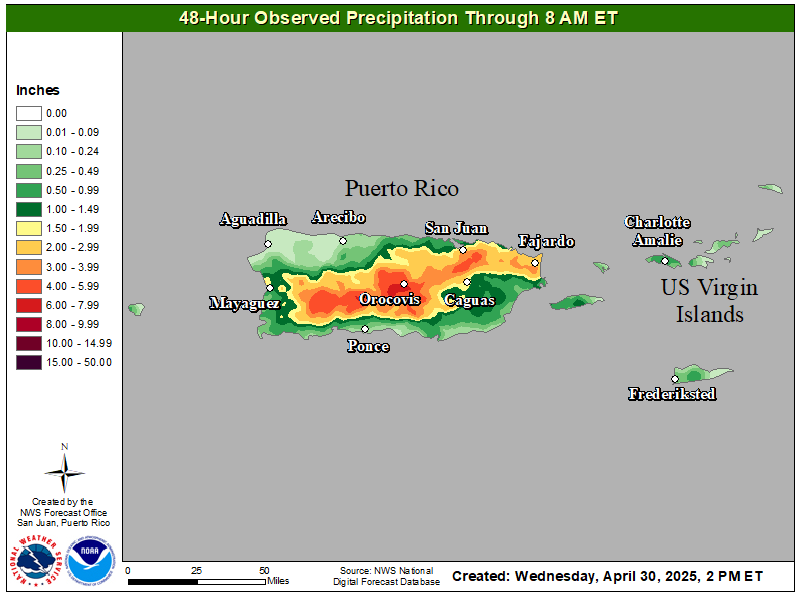 48-Hour Observed Precip |
Click to enlarge
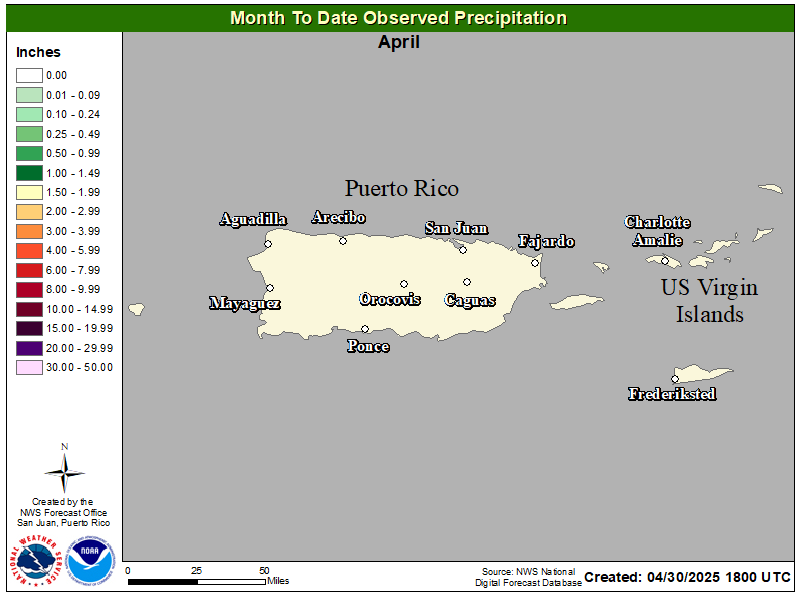 Month To Date Precip |
|
Click to enlarge
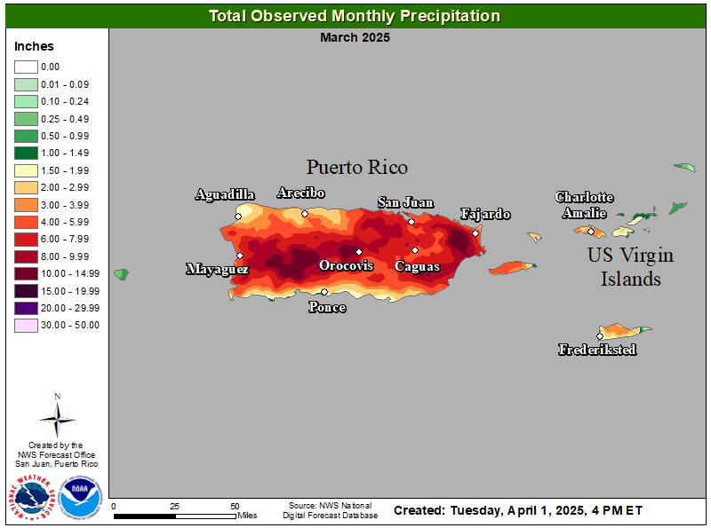 Total Monthly Observed Precip |
Click to enlarge
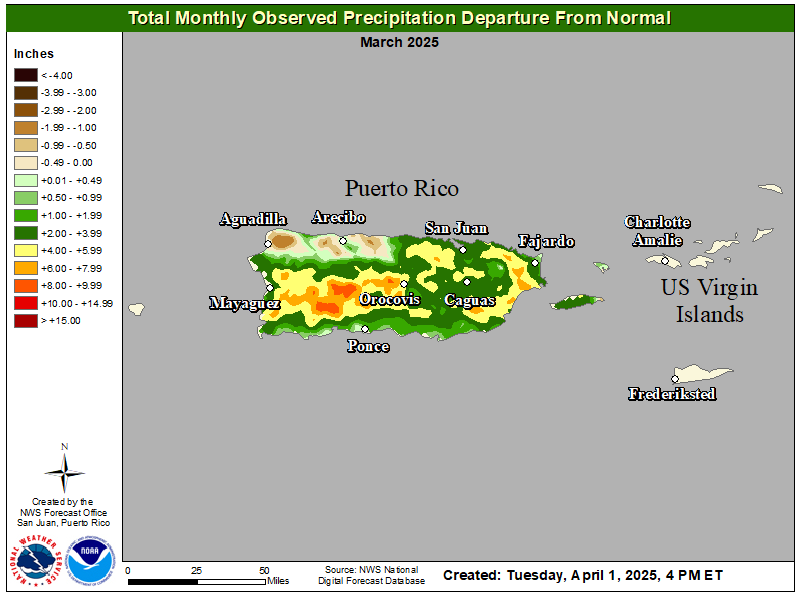 Total Monthly Observed Precip |
US Dept of Commerce
National Oceanic and Atmospheric Administration
National Weather Service
Eastern Region Headquarters
630 Johnson Ave., Ste. 202
Bohemia, NY 11716
631-244-0100
Comments? Questions? Please Contact Us.

