💧Mainly beneficial and localized heavy rainfall remains in the forecast this weekend
⚡ Isolated thunderstorms will be possible, beginning for locations north of I-10 on Friday afternoon
⚠️ Periods of heavy downpours are expected for locations along and north of the Interstate 10 corridor on Saturday and Saturday night
🌧️ Heavier rainfall shifts southward across northeast and north central FL by late Saturday night and Sunday
🚧 Rounds of heavy downpours could create some localized flood issues this weekend


 Jacksonville Radar
 Weather Map
 Regional Satellite
  DAY 1 Convective Outlook
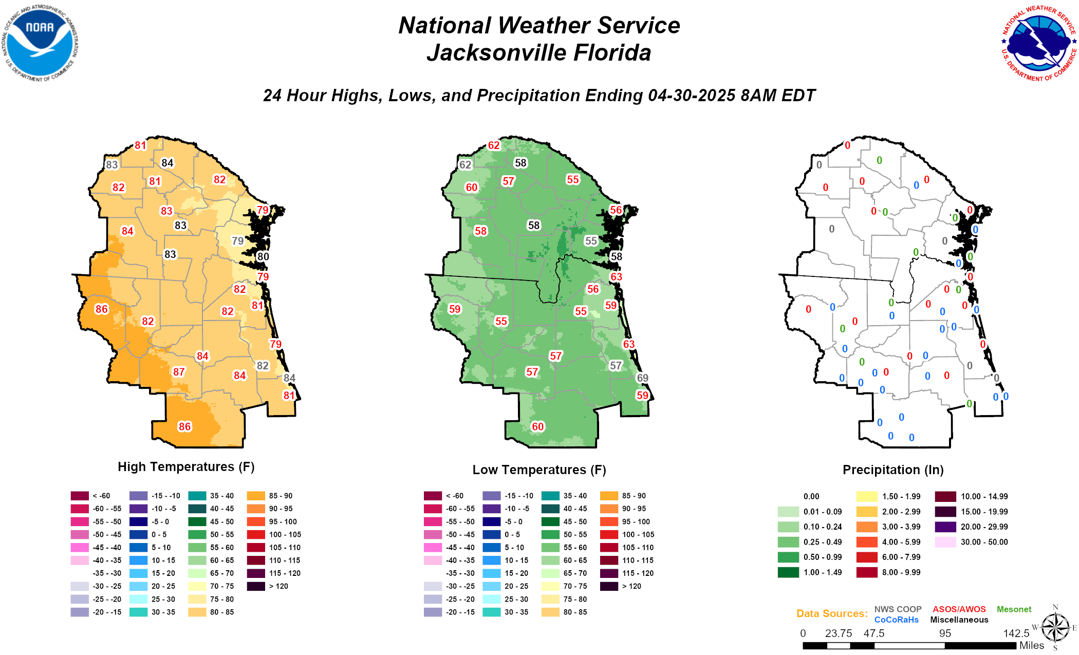 Daily Graphics
 Tropical Weather Outlook