National Weather Service United States Department of Commerce

Flood Watches through Mon Evening followed by Coastal Flood Advisories Beginning Tues

Tropical moisture will fuel high chances for rain early this week along a stalling cold front. Several inches of rain are expected to fall through Tuesday that will increase the risk for flooding, especially for locations along and north of I-10. A Moderately Strong Nor'easter will develop on Tuesday, bringing gusty winds, dangerous surf/rip currents, and the potential for moderate tidal flooding. Read More >

🌬️ Strengthening northeasterly winds will arrive today, with wind gusts forecast to increase to the 25-35 mph range at coastal locations. 🛑 Increasingly rough surf conditions will create a high risk of deadly rip currents, high surf and beach erosion. ⚠️ Minor tidal flooding will be possible during times of high tide along the Atlantic coast, the Intracoastal Waterway and possibly within the St. Johns River basin today and Wednesday.
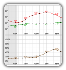
High temperatures and rain chances for Today.
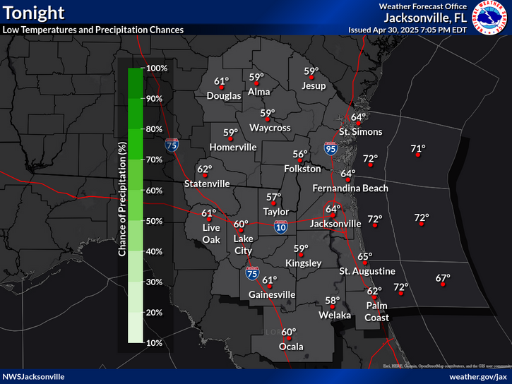
Low temperatures and rain chances for Tonight.
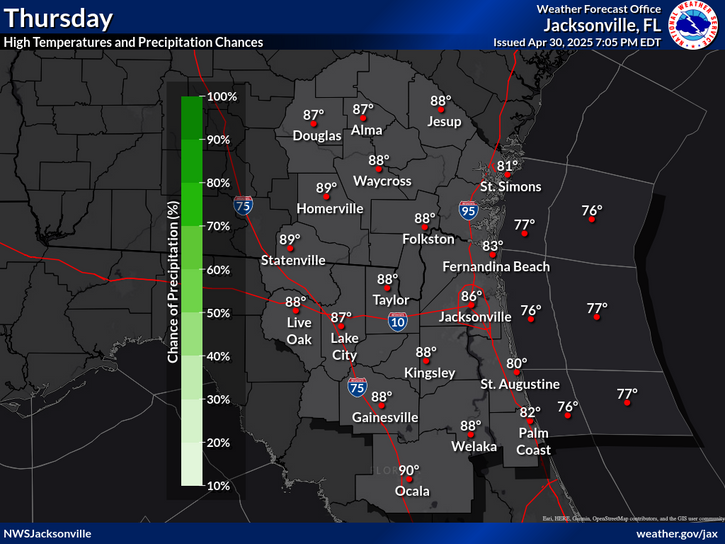
High temperatures and rain chances for Tomorrow.
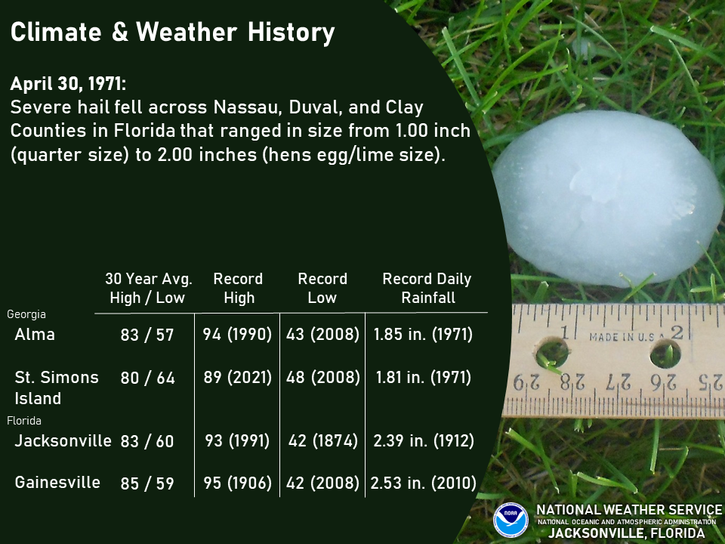
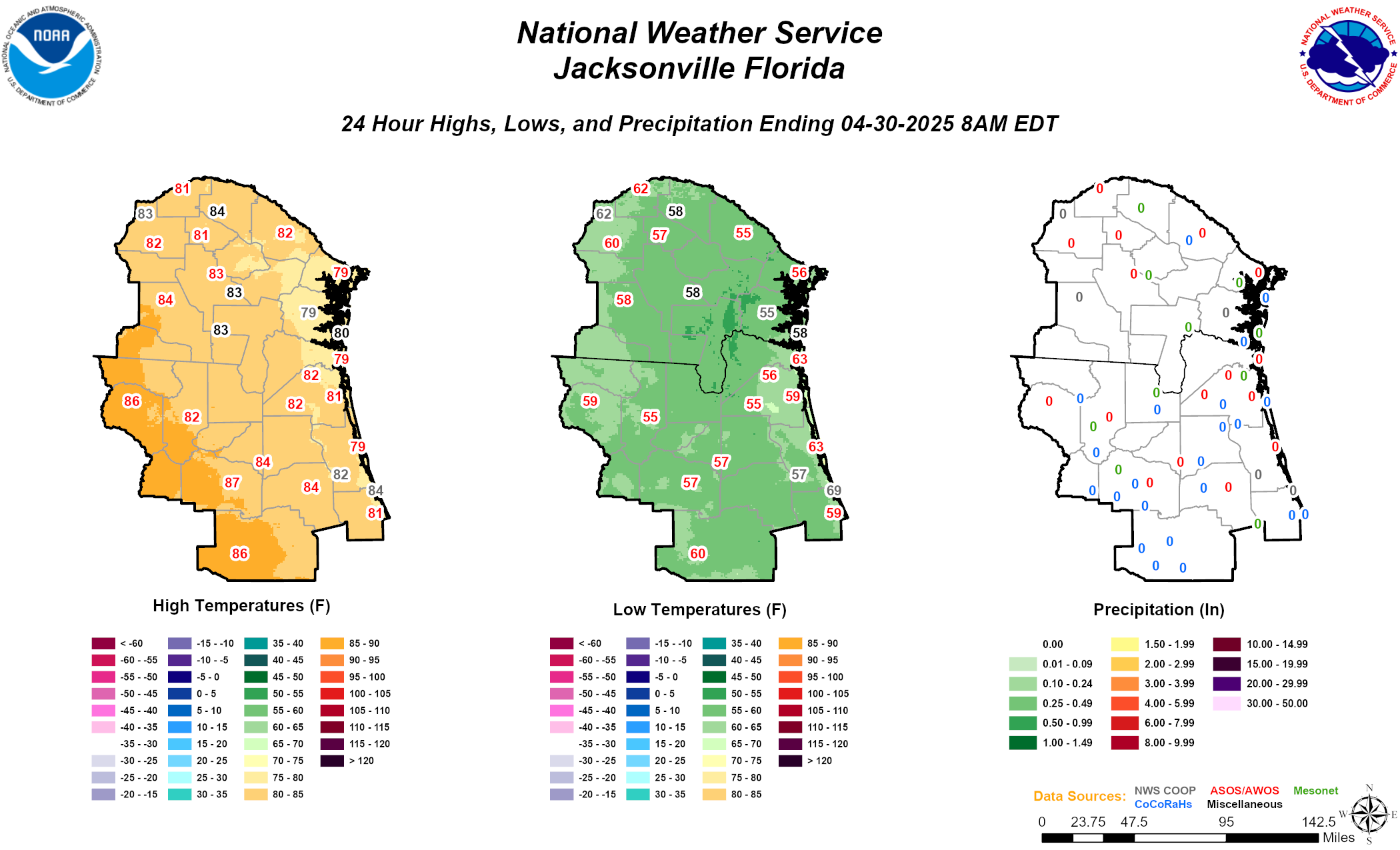
Climate statistics.

Text Product Selector (Selected product opens in a new window) 
 
Briefing Info
Decision Support
Radar
Fire Weather
Aviation
Rivers-Flooding
Briefing Info
Decision Support
Radar
Fire Weather
Aviation
Rivers-Flooding
Marine
Beach
Satellite
Hourly Forecasts
Climate
Social Media
Marine
Beach
Satellite
Hourly Forecasts
Climate
Social Media
Tropical
Observations
NOAA Weather Radio
Report Weather
Storm Spotters
Air Quality
Tropical
Observations
Weather Radio
Report Weather
Storm Spotters
Air Quality