National Weather Service United States Department of Commerce
Click a location below for detailed forecast.

Last Map Update: Thu, Aug 13, 2026 at 6:52:43 am EDT

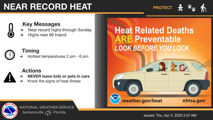
Heat Advisory and Extreme Heat Warning are in effect Today 11 AM to 8 PM. The combination of temperatures rising to the mid and upper 90s and with oppressive humidity values will create peak heat indices in the 108°-113° range. Stay hydrated, Limit strenuous time outdoors in the afternoon, Use AC and fans, wear lightweight clothing.
There looks to be little relief from the sweltering heat which will continue for several days. As daytime highs climb to the mid to upper 90s, heat indices likely reach around the 106 to 112 range. Some locations may reach even higher indices. Daily isolated to scattered storms may provide some temporary relief each afternoon. Heat exhaustion will be likely with prolonged outdoor activity, so continue to exercise caution, take plenty of breaks, and stay hydrated. Make sure relatives and neighbors have a cool place to stay.
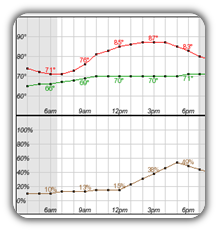
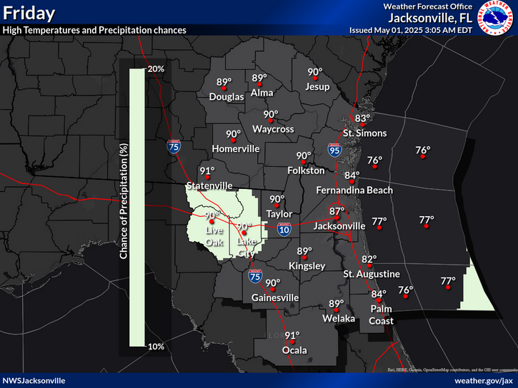
High temperatures and rain chances for Today.
Low temperatures and rain chances for Tonight.
High temperatures and rain chances for Tomorrow.
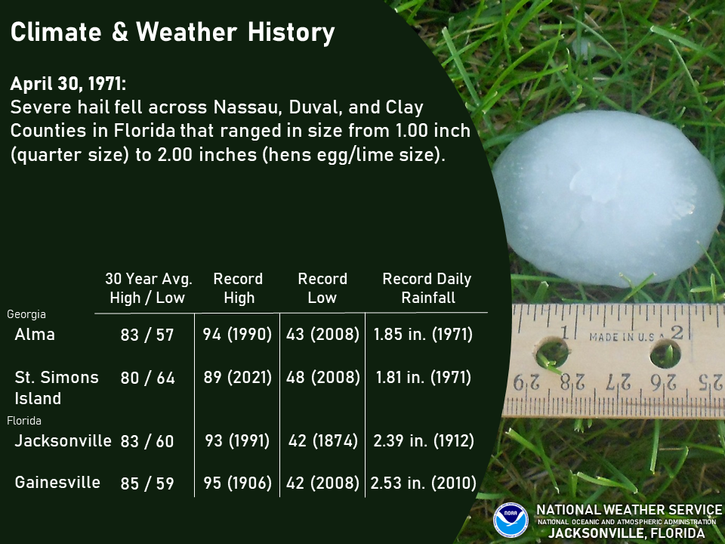
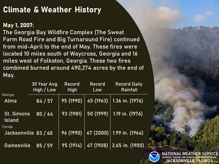
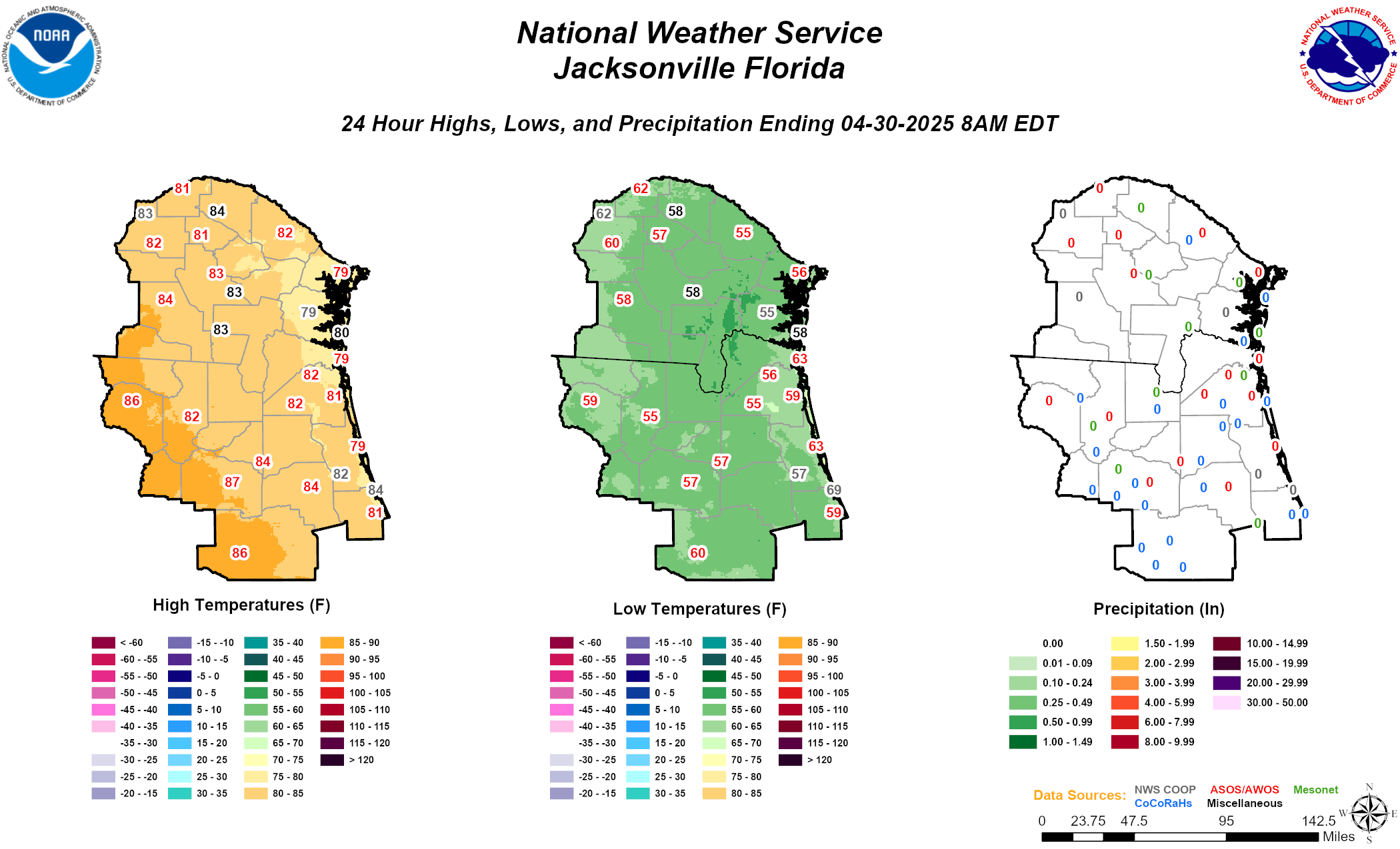
Climate statistics.

Text Product Selector (Selected product opens in a new window) 
 
Briefing Info
Decision Support
Radar
Fire Weather
Aviation
Rivers-Flooding
Briefing Info
Decision Support
Radar
Fire Weather
Aviation
Rivers-Flooding
Marine
Beach
Satellite
Hourly Forecasts
Climate
Social Media
Marine
Beach
Satellite
Hourly Forecasts
Climate
Social Media
Tropical
Observations
NOAA Weather Radio
Report Weather
Storm Spotters
Air Quality
Tropical
Observations
Weather Radio
Report Weather
Storm Spotters
Air Quality