National Weather Service United States Department of Commerce

Coastal Flood Warnings this Weekend through Monday - Updated Briefing

Strong northeasterly winds will develop on Saturday and continue into next week. These strong winds will combine with high astronomical tides associated with the upcoming full moon to create moderate to locally major coastal and tidal flooding. Coastal Flood Warnings have been issued from Saturday through Monday for the Atlantic coastal counties and also within the St. Johns River basin. Read More >

🌬️Increasing north-northeasterly winds today will combine with high astronomical tides associated with the upcoming full moon to create moderate tidal and coastal flooding all along the southeast GA and northeast FL Atlantic coast and within the St. Johns River basin. A Wind Advisory has been issued for the Atlantic coastal counties of southeast GA and northeast FL beginning this afternoon, where sustained speeds will strengthen to 25-30 mph, with frequent gusts of 35-45 mph that will continue through at least Sunday evening. 🚨 Coastal Flood Warnings will go into effect beginning this afternoon and will continue through at least Monday evening. This morning's high tide cycle should produce minor to moderate flooding, with water levels rising to 1.5 - 2.5 feet above normally dry ground. These water levels will rise to a solid moderate flood beginning with the Saturday evening high tide cycle, when water levels will rise to 2 - 3 feet above normally dry ground.  Moderate to near major flooding is expected around times of high tide on Sunday and Monday, as water levels peak at 2.5 - 3.5 feet above normally dry ground.
🌬️ A Wind Advisory has been issued for the Atlantic coastal counties of southeast GA and northeast FL beginning this afternoon, where sustained north-northeasterly winds will strengthen to 25-30 mph, with frequent gusts of 35-45 mph that will continue through at least Sunday evening.
Deteriorating Coastal/Marine Conditions for Northeast FL and Southeast GA this weekend into next week. The upcoming full moon will generate high astronomical tides Saturday Morning through early next week. These tides will combine with strong onshore flow to create multiple hazards for coastal Northeast FL and Southeast GA currently in effect: Coastal Flood Warning, High Rip Current Risk, High Surf Advisory, and A Wind Advisory for the coast today.
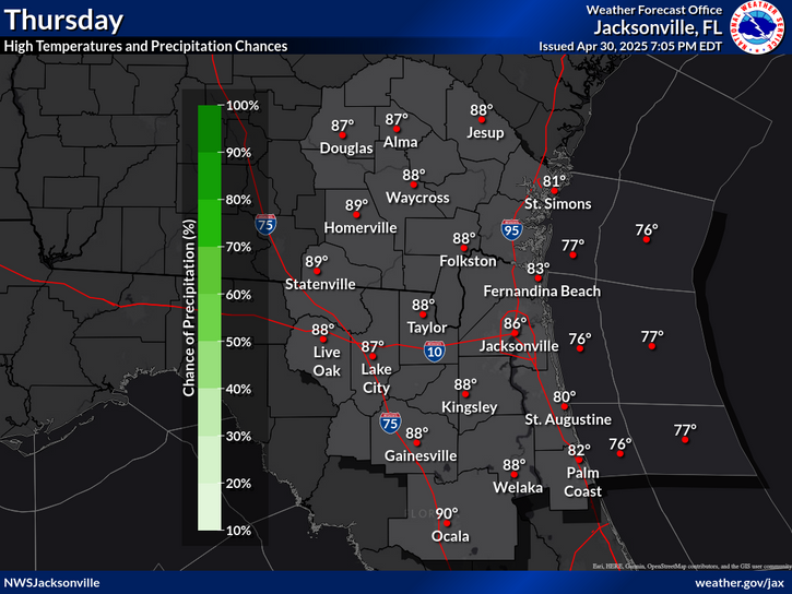
High temperatures and rain chances for Today.
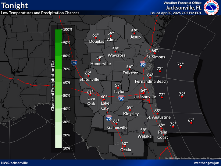
Low temperatures and rain chances for Tonight.
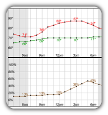
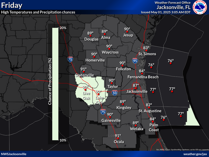
High temperatures and rain chances for Tomorrow.
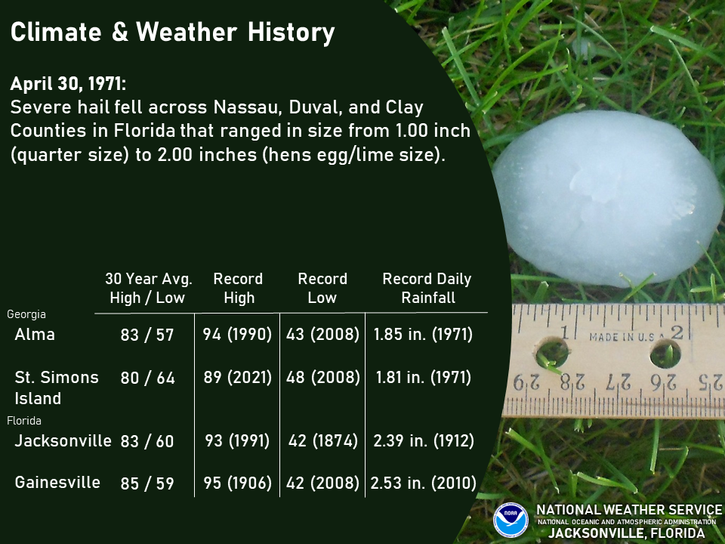
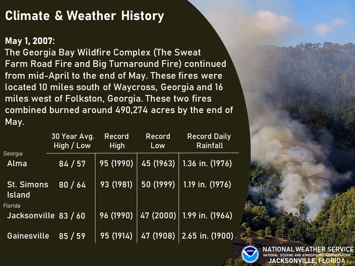
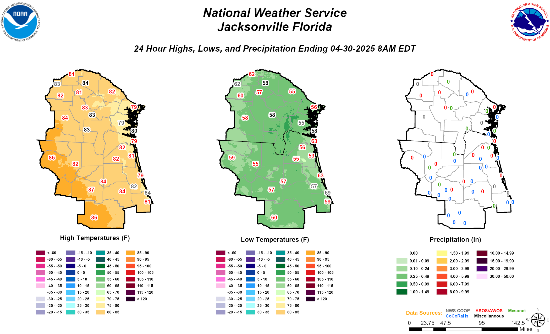
Climate statistics.

Text Product Selector (Selected product opens in a new window) 
 
Briefing Info
Decision Support
Radar
Fire Weather
Aviation
Rivers-Flooding
Briefing Info
Decision Support
Radar
Fire Weather
Aviation
Rivers-Flooding
Marine
Beach
Satellite
Hourly Forecasts
Climate
Social Media
Marine
Beach
Satellite
Hourly Forecasts
Climate
Social Media
Tropical
Observations
NOAA Weather Radio
Report Weather
Storm Spotters
Air Quality
Tropical
Observations
Weather Radio
Report Weather
Storm Spotters
Air Quality