|
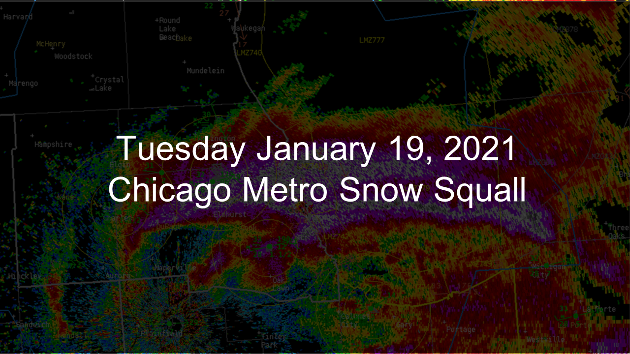
Click image below for PDF (2 MB) presentation about event
|
|
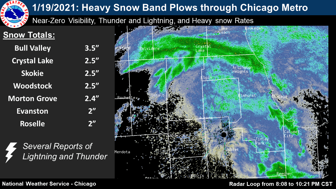
Fast Facts
Snow/Ice Totals
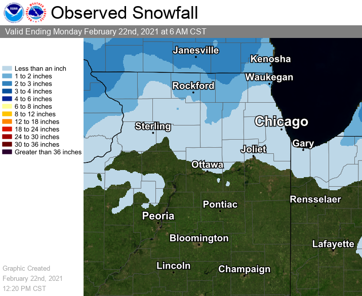 |
| Snowfall Map as of the Morning of Wednesday January 20th |
Text Listing of Snowfall Reports from Volunteer Observers
Storm Reports
Map of Snowfall Local Storm Reports
195

NWUS53 KLOT 011134

LSRLOT


Preliminary Local Storm Report

National Weather Service Chicago IL

634 AM CDT Sat Aug 1 2026


..TIME...   ...EVENT...      ...CITY LOCATION...     ...LAT.LON...

..DATE...   ....MAG....      ..COUNTY LOCATION..ST.. ...SOURCE....

            ..REMARKS..


0630 AM     Rain             NWS Chicago-Romeoville  41.60N 88.08W

08/01/2026  M1.59 Inch       Will               IL   Official NWS Obs


            Since 1 am, 1.59 inches at NWS.


&&


$$
 |
Media use of NWS Web News Stories is encouraged! Additional recaps can be found on the NWS Chicago Science & Past Events Page. |
|