|
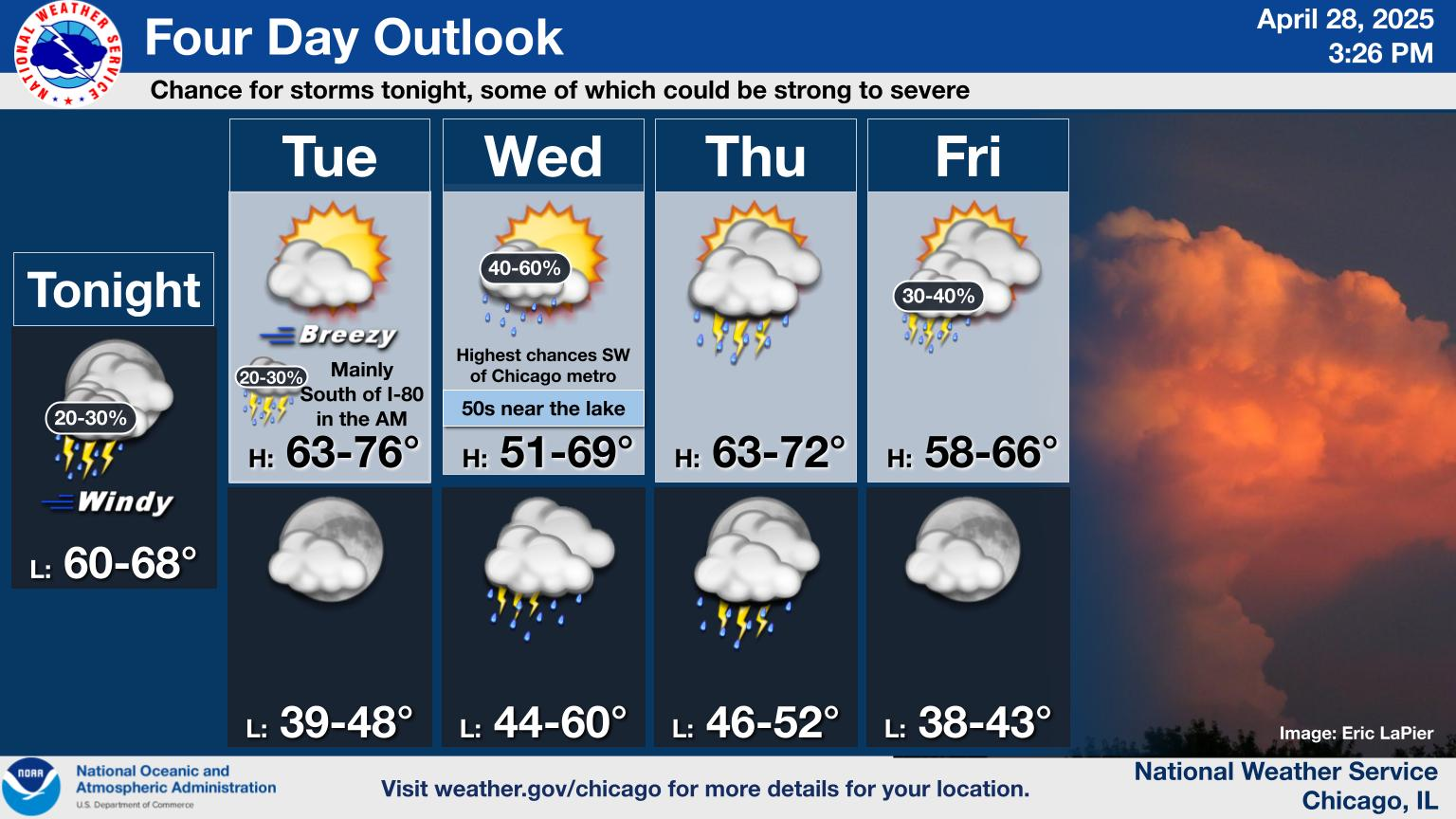
Current Conditions and Seven Day Forecast |
||
 |
|
|
|
|
 |
 |
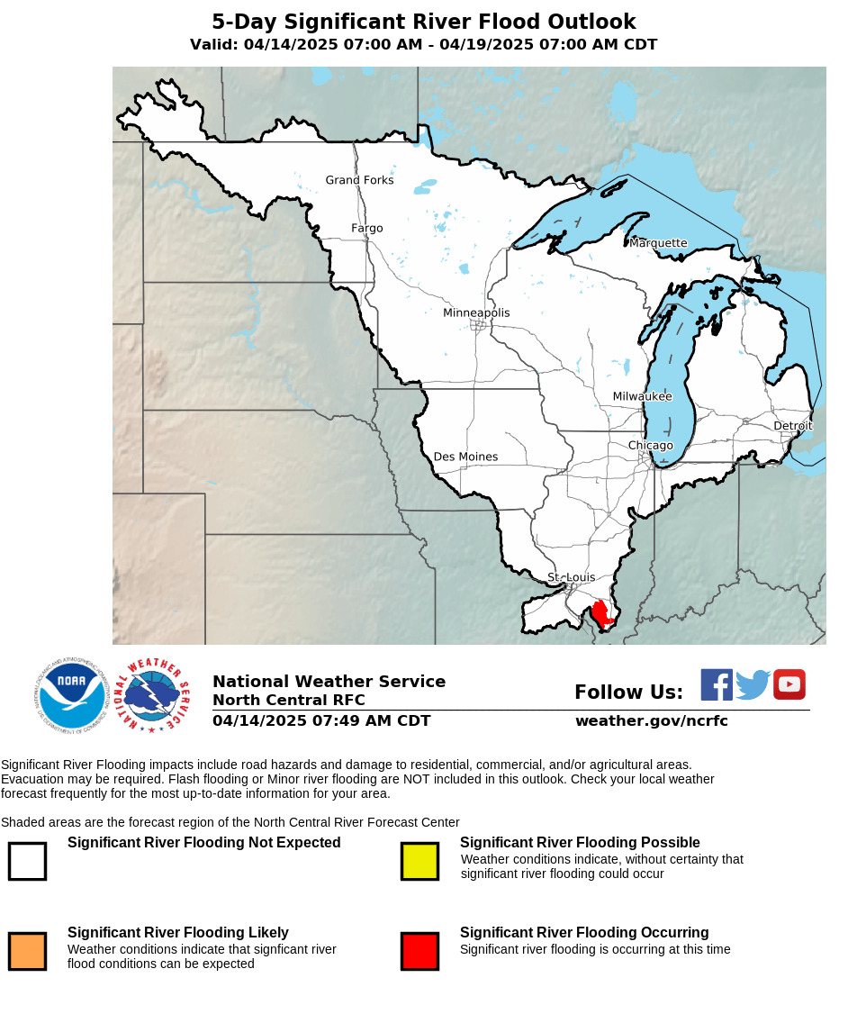
| River Flood Outlook from North Central River Forecast Center | River Flood Outlook from Ohio River Forecast Center |
 |
|
||||||||
 |
 |
 |
 |
| Today |
Tomorrow |
Day 3 |
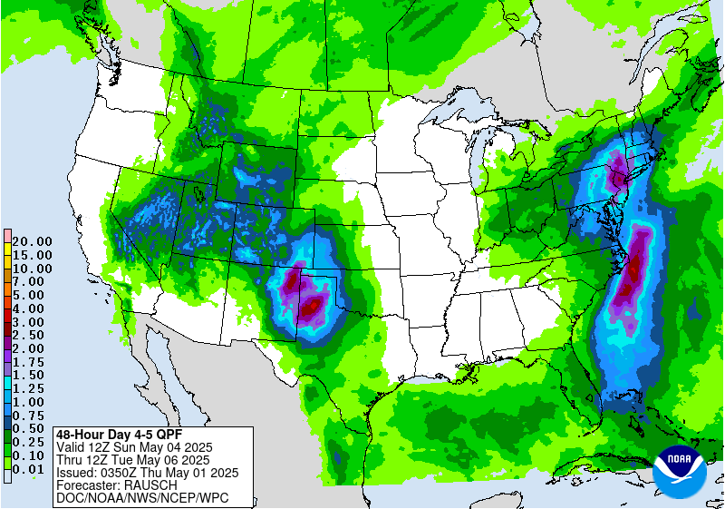
Days 4-5 |
 |
 |
 |
| Excessive Rainfall Outlook Today |
Excessive Rainfall Outlook Tomorrow |
Excessive Rainfall Outlook Day 3 |
 |
 |
 |
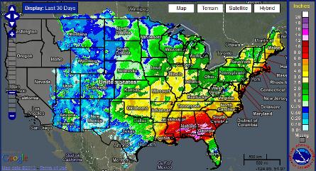
| Past Rainfall | Snow Cover and Water Content | Soil Moisture |
 |
 |
| Current Drought Conditions - Click for more Information | Drought Outlook - Click for more Information |


