
Much higher than typical October temperatures will continue across coastal southern California up through the Bay Area and Central Valley through midweek resulting in result in Major to Extreme HeatRisk. A tropical depression is likely to form over the Gulf of America during the middle part of this week with further strengthening possible as it moves northeastward later this week. Read More >
 |
NWS Mt Holly Weather Briefing Page |
 |
|
NWS Radar Data
|
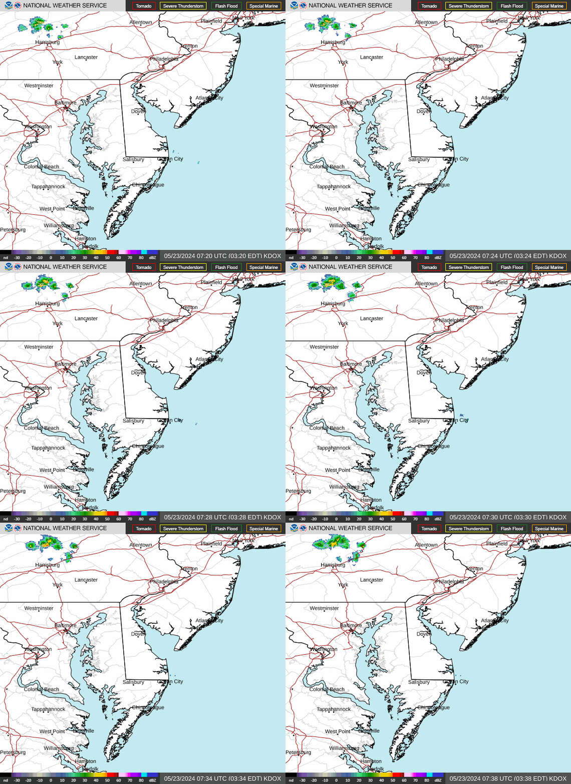 Dover AFB Radar 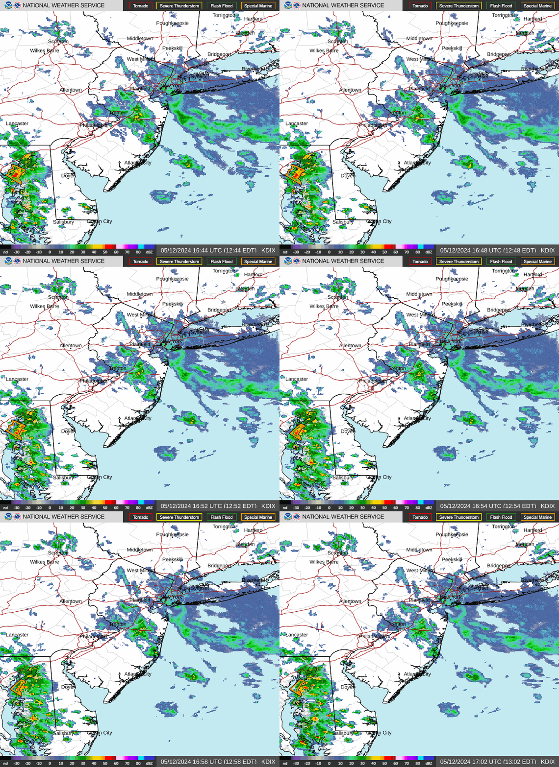 Fort Dix Radar |
|||
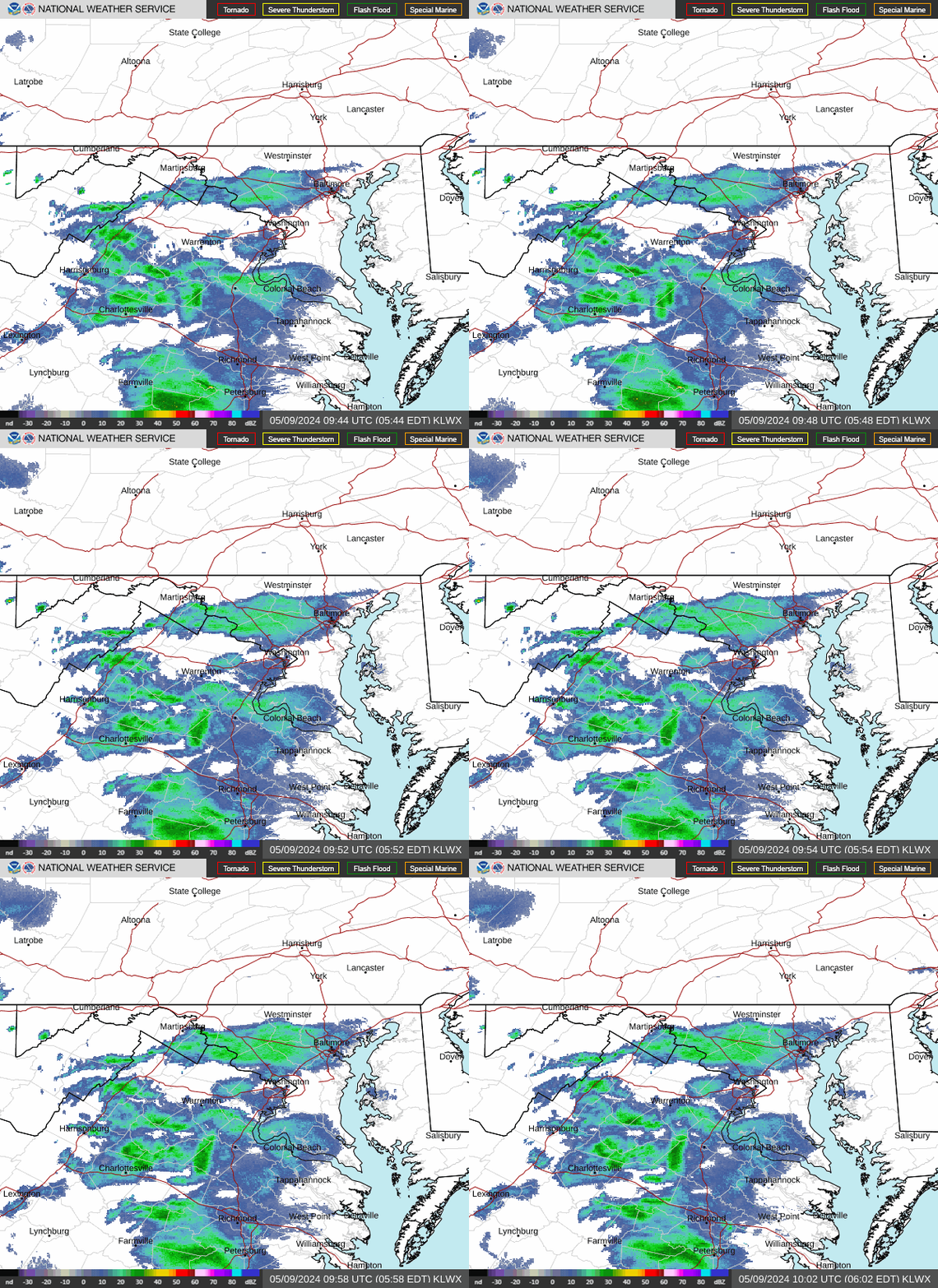 NWS Sterling Radar |
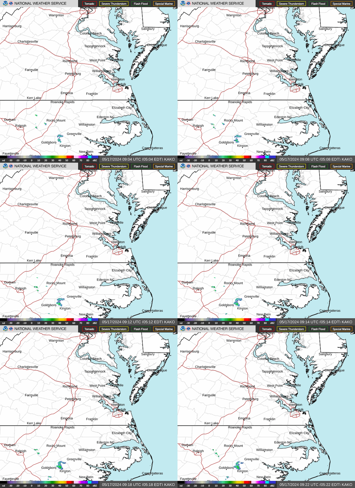 NWS Wakefield Radar |
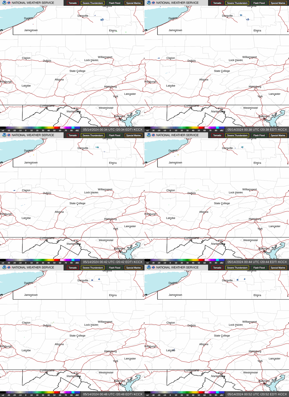 NWS State College Radar |
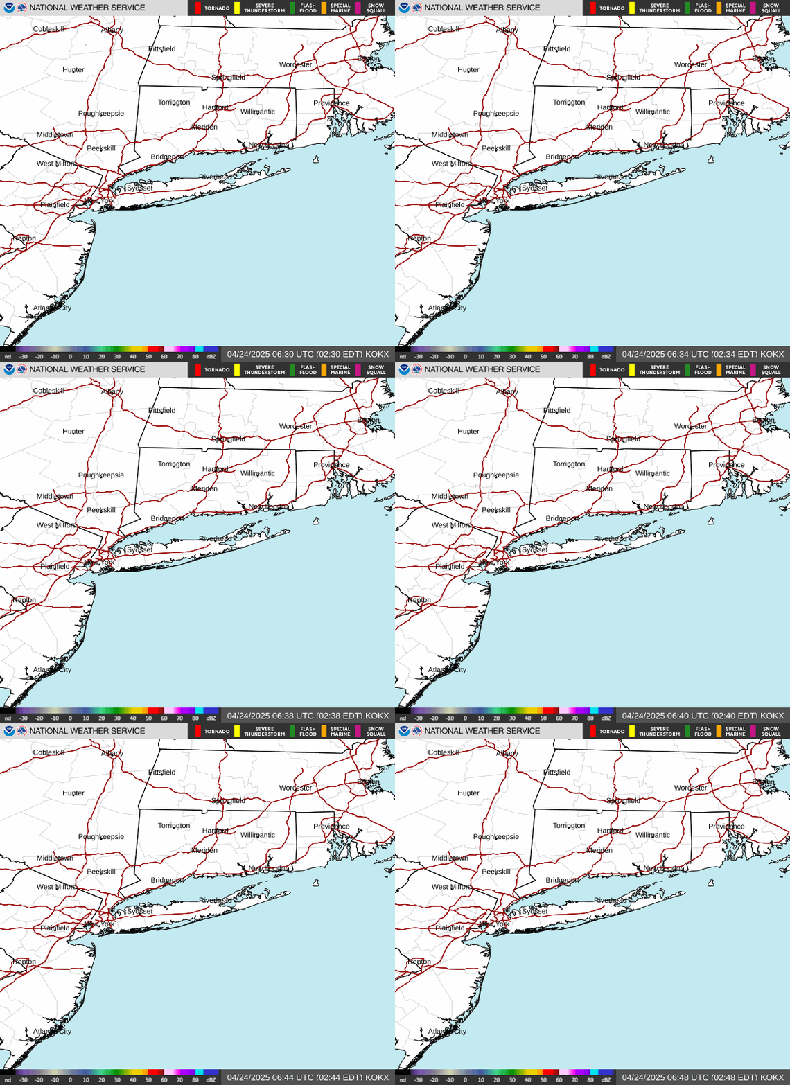 NWS NYC/Upton Radar |
|
|
|||
|
Infrared (IR) Imagery
|
Visible (VIS) Imagery
|
GeoColor Imagery
|
|||
|
Water Vapor (WV) Imagery
|
Tropical Satellite Images
|
||||
Updated 24 Oct 2022








 Radar
Radar Current Weather
 Rivers & Lakes
 Satellite
 Forecast Maps
 Hour by Hour Forecast
 Tropical Weather
 Graphical Hazards
 Coastal Flood
 Marine Forecasts
 Text Products
 Climate Information
 Skywarn
 Submit Storm Report
 Weather Event Archives
 Forecast Discussion
 Emergency Managers
 Briefing Page
 Follow us on X
 Follow us on Facebook
 Follow us on YouTube
 PHI RSS Feed