National Weather Service United States Department of Commerce

Heavy Rainfall in the East Wednesday; Hot Temperatures Continue in Coastal Southern California

Heavy to excessive rainfall may lead to flooding Wednesday over southwest Pennsylvania into northern West Virginia, and western Maryland. Flood Watches have been issued. An extended period of hot weather will continue for parts of coastal southern California including Los Angeles through Thursday. Heat Advisories remain in effect. Read More >

Latest Aviation Discussion:

.AVIATION /07Z WEDNESDAY THROUGH SUNDAY/...
As of 210 AM EDT Wednesday...

Rain showers (with a few embedded thunderstorms) will continue
to overspread the area from the west this morning. CIGs are
starting out VFR at all sites, but will also rapidly deteriorate 
over the next few hours from west to east. Expect the steadier
showers to reach RIC by ~08z and the SE TAF sites ~10 to 11z.
The steadier rain likely holds off at SBY until after 12z. CIGs
fall to MVFR by 08 to 10z, and IFR by 12 to 14z (lowest
confidence in IFR at ECG). CIGs will then remain IFR or MVFR
norther of the VA/NC border through much of the remainder of the
forecast period, while VFR conditions briefly return to ECG this
afternoon. Steadier rain showers linger the longest at SBY, with
the activity become isolated to scattered elsewhere this
afternoon. A few stronger thunderstorms will be possible this
afternoon, mainly in the vicinity of ECG. CIGs deteriorate to
IFR or LIFR at all sites early tonight, before a potential
improving trend late. An ESE wind will remain 5-10kt
early this morning, and then increase to 10-15kt with gusts 
~20kt later this morning, before becoming ENE 8-12kt at most 
sites during the afternoon, and WSW at 8-12kt at ECG.

Outlook: A secondary cold front will bring isolated to 
scattered showers/tstms Thursday aftn with otherwise mainly VFR 
conditions. Dry and VFR Friday into Saturday. A chc of showers 
returns later Sunday.

&&


This discussion and more can be found in the Area Forecast Discussion.


Aviation Forecasts

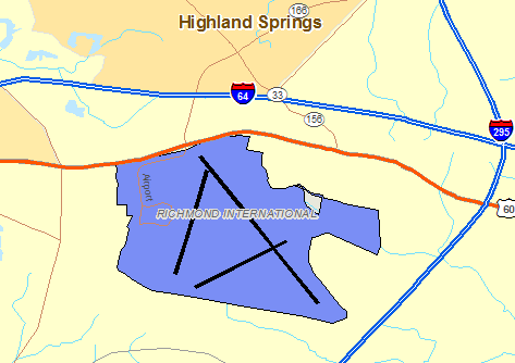
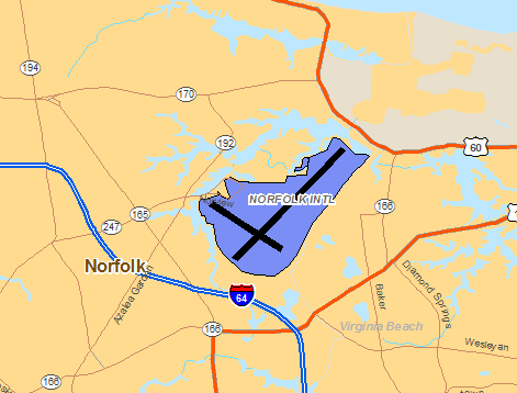
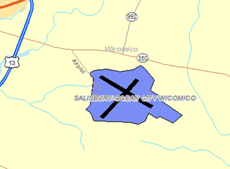
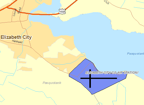
The National Weather Service Office in Wakefield, VA has responsibility for five Terminal Aerodrome Forecasts or TAFs in Virginia, Maryland and Northeast North Carolina.   Click on the RUNWAY on the map below to view the latest TAF.

RICHMOND

  TERMINAL FORECAST (TAF)

  HRS OF OBSERVATIONS

  FAA DETAILS

  TABULAR FORECAST

  RIC TAF BOARDRichmond TAF & Current Observation


NORFOLK

  TERMINAL FORECAST (TAF)

  HRS OF OBSERVATIONS

  FAA DETAILS

  TABULAR FORECAST

  ORF TAF BOARDClick for Latest Norfolk TAF & Observation


SALISBURY

  TERMINAL FORECAST (TAF)

  HRS OF OBSERVATIONS

  FAA DETAILS

  TABULAR FORECAST

  SBY TAF BOARDClick for Latest Salisbury TAF & Observation


ELIZABETH CITY

  TERMINAL FORECAST (TAF)

  HRS OF OBSERVATIONS

  FAA DETAILS

  TABULAR FORECAST

  ECG TAF BOARD

Click for Latest Elizabeth City TAF & Observation


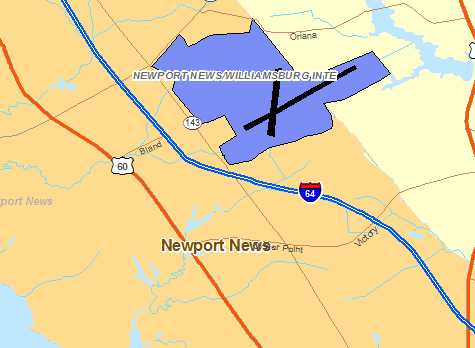
NEWPORT NEWS/WILLIAMBURG

  TERMINAL FORECAST (TAF)

  HRS OF OBSERVATIONS

  FAA DETAILS

  TABULAR FORECAST

  PHF TAF BOARD


Click for Latest Newport News/Williamburg TAF & Observation


Center Weather Service Unit Products

One Center Weather Service Unit (CWSU) covers the NWS Wakefield, VA County Warning Area. Use the buttons on the map or....CLICK HERE to view either a Meteorological Impact Statement (MIS) or Center Weather Advisory (CWA) issued by the CWSUs.  For complete AVIATION WEATHER CENTER products click here.

Interactive Aviation Map (mouse over & CLICK for Observations)


See Complete MESONET MAP & OBS

Decoded/Raw Text

  • 24 hour decoded observations for Virginia Portion of our CWA...
  • 24 hour decoded observations for Maryland Portion of our CWA...
  • 24 hour decoded observations for North Carolina Portion of our CWA...

Surface Weather Maps

Wind Rose Data

  • RICHMOND WIND ROSE DATA...
  • NORFOLK WIND ROSE DATA...

Miscellaneous