NWS Wakefield
Marine Weather Page
 |
 |
 |
|
Coastal Waters Forecast Graphical Wave Forecast Coastal Point Forecast Surf Forecast |
| Coastal Waters Forecasts | Select Point Forecast Products |
| Graphical Forecasts | Offshore & High Seas Forecasts |
| Beach and Surf Forecasts (Seasonal) | Forecast Discussions |
|
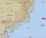
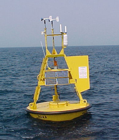
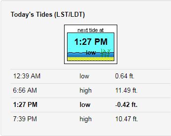
Text Observation Listing Tides Sea Surface Temps Total Water Level S.A. |
| Buoy Data | Tide Data |
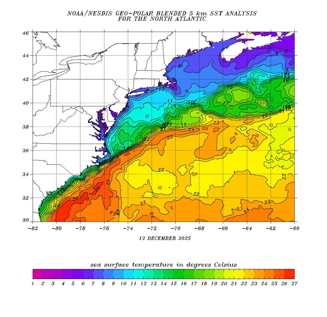
| Winds/Waves Analysis & Lightning Data | Sea Surface Temperatures |
|
|
Marine Hazards Tropical Warnings Tsunami Warning Center Hazard Criteria |
| Marine Weather Watches/Warnings/Advisories | Marine Weather Statements |
| Special Marine Warnings | Coastal Flood Watches/Warnings/Advisories/Statements |
|
Nearshore Wave Model Surface Currents Wave Period/Direction NOAA Wave Watch III |
| Nearshore Wave Prediction Model (NWPS) | Other Model Guidance |
|
|
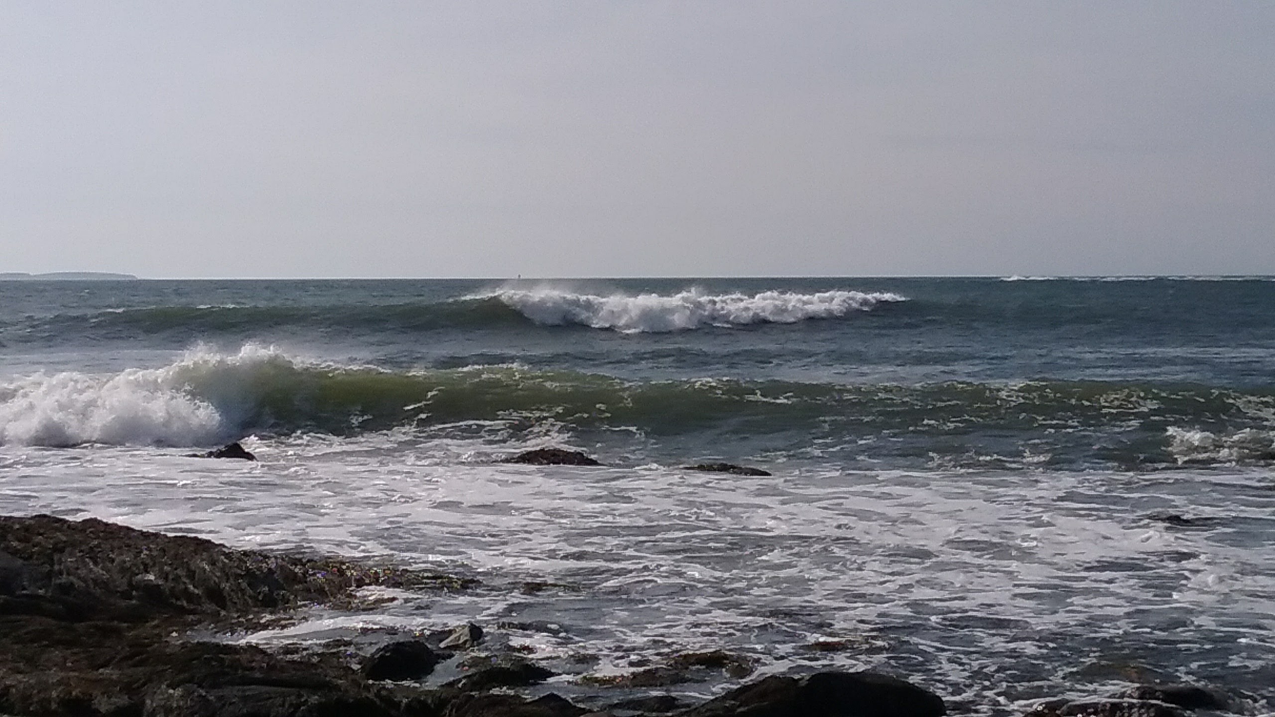
Rip Current Safety Safe Boating Cold Water Awareness Beach Hazards Safety |
| Marine Weather Safety and Tropical Information | Beach Safety |
|
| Cold Water Awareness | Marine Centers |


 Coastal Flood
 Heat
Heat 