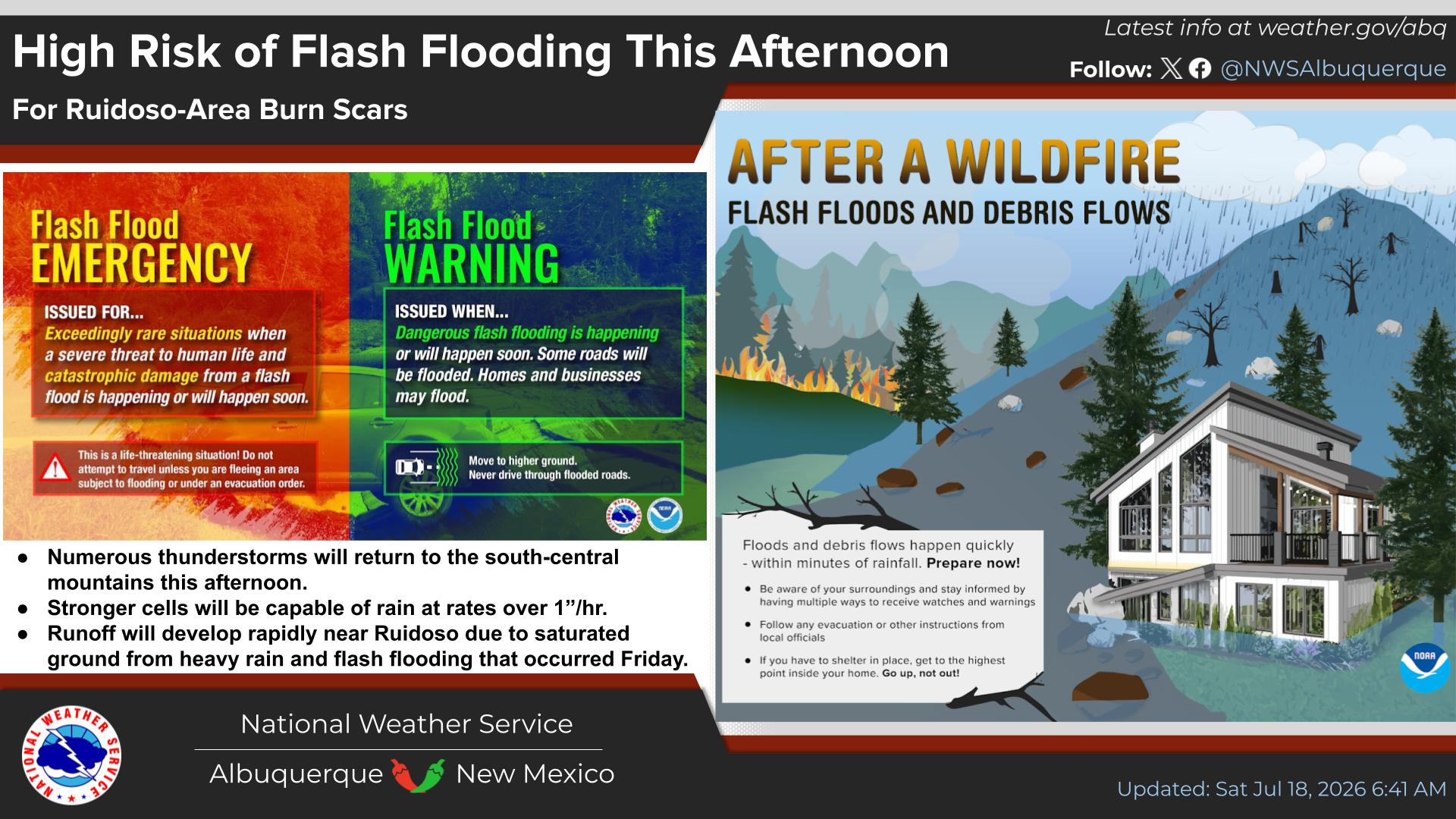
National Weather Service United States Department of Commerce
Click a location below for detailed forecast.

Last Map Update: Wed, Jul 16, 2025 at 3:04:28 am MDT

Thunderstorms will multiply over New Mexico on Thursday, leading to increased chances for rainfall. Scattered to numerous showers and thunderstorms will then redevelop again each day Friday and Saturday. While the western and central mountains will have the highest chances for rain, many surrounding lower elevations will also have a moderate to high (40 to 70%) chance for measurable rainfall.
Showers and thunderstorms will increase on Wednesday and more-so into Thursday as rich monsoon moisture arrives. Storms will be capable of producing heavy downpours.
The thunderstorm threat matrix indicates the probability of thunderstorms over wildfire burn areas.
Seasonable temperatures are forecast tonight with any showers and thunderstorms being focused in west central to southwestern New Mexico during the evening.
Higher rain chances arrive on Thursday with scattered to numerous showers and thunderstorms redeveloping on Friday and Saturday. Temperatures will remain within a few degrees of normal.


Text Product Selector (Selected product opens in current window)


Submit Storm Report Icon

Submit Storm Report

Key Impacts Icon

Key Impacts

Observations Icon

Local Observations

Webcams Icon

Office Webcams

Satellite Icon

Satellite Imagery

Are You Prepared Icon

Are You Prepared?

Weekly Weather Briefing Icon

Weekly Weather Briefing

Area Forecast Discussion Icon

Area Forecast Discussion

Fire Weather Icon

Fire Weather

Aviation Weather Icon

Aviation Weather

Snow Probabilities Icon

Snow Probabilities

SKYWARN Icon

SKYWARN Spotters

On This Date in Weather History Icon

On This Date

Climate Graphs Icon

Climate Graphs

Drought Monitor Icon

Drought Monitor

Severe Weather Info and Climatology Icon

Severe Weather Climatology

Monsoon Awareness Icon

Monsoon Awareness

Winter Climatology Icon

Winter Climatology