National Weather Service United States Department of Commerce

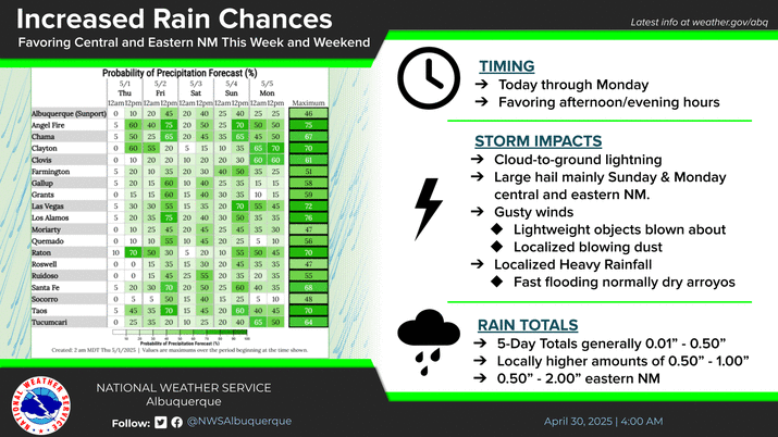
A major surge of monsoonal moisture is still expected from later today through at least Wednesday. Confidence continues to increase that periods of heavy rainfall will move across the region, elevating the risk for flash flooding, which could be significant around recent wildfire burn scars.
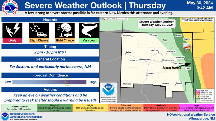
There is increasing confidence in the chances for flash flooding across much of the state early next week with the arrival of monsoon moisture. Significant flash flooding may occur on the burn scars near Ruidoso, with the peak risk on Tuesday.
When across New Mexico can we expect the worst of the heavy rainfall and flooding impacts? This all starts on Monday with the worst conditions on Tuesday. But it can all continue Wednesday into Thursday. Have ways to keep track of watches/warnings and alter plans accordingly.
The thunderstorm threat matrix indicates the probability of thunderstorms over wildfire burn areas.


Text Product Selector (Selected product opens in current window)


Submit Storm Report Icon

Submit Storm Report

Key Impacts Icon

Key Impacts

Observations Icon

Local Observations

Webcams Icon

Office Webcams

Satellite Icon

Satellite Imagery

Are You Prepared Icon

Are You Prepared?

Weekly Weather Briefing Icon

Weekly Weather Briefing

Area Forecast Discussion Icon

Area Forecast Discussion

Fire Weather Icon

Fire Weather

Aviation Weather Icon

Aviation Weather

Snow Probabilities Icon

Snow Probabilities

SKYWARN Icon

SKYWARN Spotters

On This Date in Weather History Icon

On This Date

Climate Graphs Icon

Climate Graphs

Drought Monitor Icon

Drought Monitor

Severe Weather Info and Climatology Icon

Severe Weather Climatology

Monsoon Awareness Icon

Monsoon Awareness

Winter Climatology Icon

Winter Climatology