National Weather Service United States Department of Commerce
Click a location below for detailed forecast.

Last Map Update: Sat, May 30, 2026 at 2:18:19 am MDT

Warm and dry conditions are expected area wide this weekend with plenty of sunshine. West to southwest winds will pick up a little on Saturday across eastern NM.
Moisture will increase Tuesday through Thursday next week resulting in scattered to numerous showers and thunderstorms across northern and central NM.
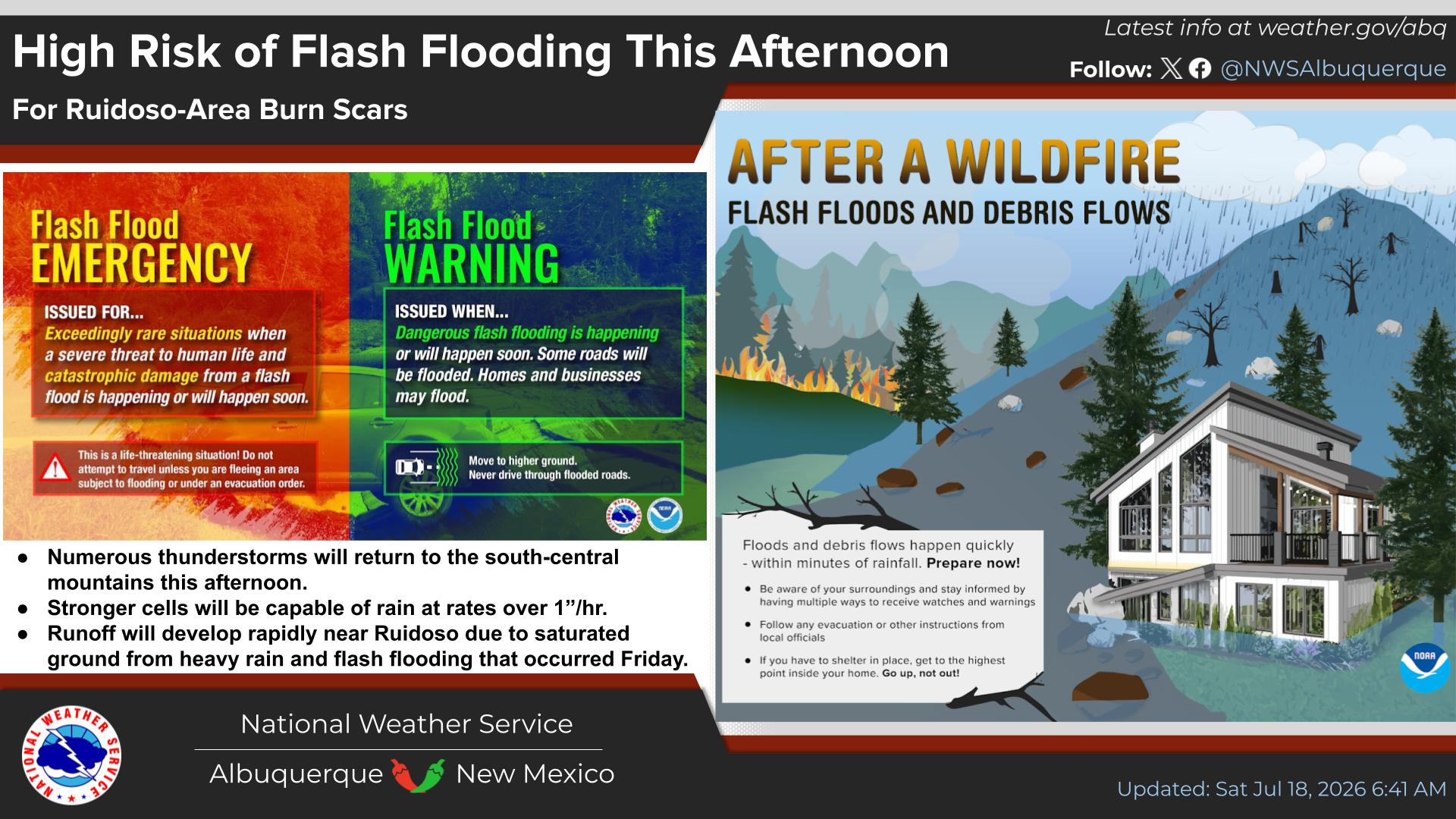
High temperatures peaking on Monday, then decreasing through Wednesday. Daily rounds of showers and storms next week with a risk of flash flooding below recent burn scars starting Tuesday.



Text Product Selector (Selected product opens in current window)


Submit Storm Report Icon

Submit Storm Report

Key Impacts Icon

Key Impacts

Observations Icon

Local Observations

Webcams Icon

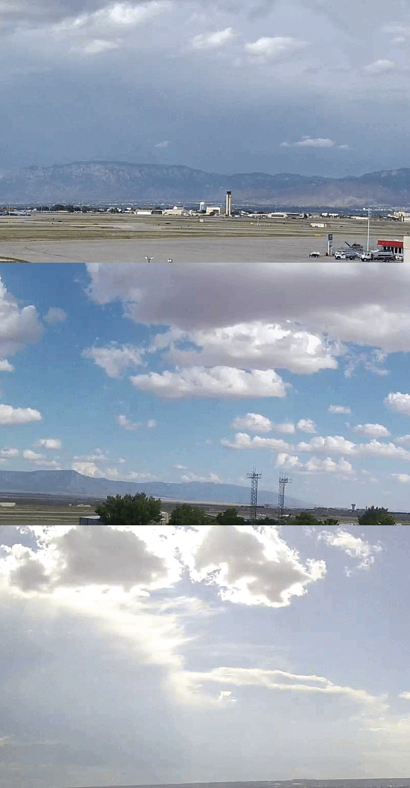
Office Webcams

Satellite Icon

Satellite Imagery

Are You Prepared Icon

Are You Prepared?

Weekly Weather Briefing Icon

Weekly Weather Briefing

Area Forecast Discussion Icon

Area Forecast Discussion

Fire Weather Icon

Fire Weather

Aviation Weather Icon

Aviation Weather

Snow Probabilities Icon

Snow Probabilities

SKYWARN Icon

SKYWARN Spotters

On This Date in Weather History Icon

On This Date

Climate Graphs Icon

Climate Graphs

Drought Monitor Icon

Drought Monitor

Severe Weather Info and Climatology Icon

Severe Weather Climatology

Monsoon Awareness Icon

Monsoon Awareness

Winter Climatology Icon

Winter Climatology