National Weather Service United States Department of Commerce
Click a location below for detailed forecast.

Last Map Update: Tue, Sep 15, 2026 at 6:36:10 am MDT

A very active wet monsoon pattern will persist across the Land of Enchantment through the end of the week.
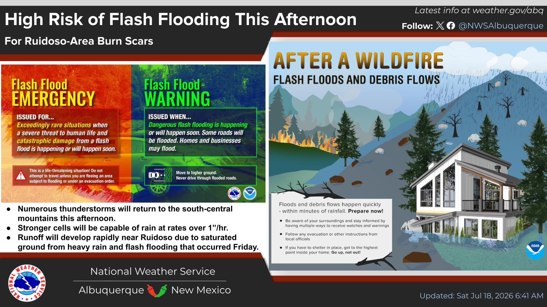
All areas of New Mexico will have a risk for flash flooding on Tuesday. The focus for the strongest and most persistent storms with heavy rainfall will be over southwest New Mexico where a Flash Flood Watch is in effect today from 11 AM to Midnight.
The focus for storms with heavy rainfall and flash flooding will spread into even more of NM Wednesday and Thursday. Rainfall rates may exceed 2" per hour with the stronger storms. Normally dry creeks, streams, and arroyos may fill with fast-flowing water. Never cross a flooded roadway!
A moist monsoon pattern will persist through the end of the week. Numerous showers and storms are likely each afternoon. Storms could impact outdoor events and produce flash flooding.
With the active weather pattern this week, be prepared to take action if a Flash Flood Warning is issued for your area! Have multiple ways to receive NWS messages.


Text Product Selector (Selected product opens in current window)


Submit Storm Report Icon

Submit Storm Report

Key Impacts Icon

Key Impacts

Observations Icon

Local Observations

Webcams Icon

Office Webcams

Satellite Icon

Satellite Imagery

Are You Prepared Icon

Are You Prepared?

Weekly Weather Briefing Icon

Weekly Weather Briefing

Area Forecast Discussion Icon

Area Forecast Discussion

Fire Weather Icon

Fire Weather

Aviation Weather Icon

Aviation Weather

Snow Probabilities Icon

Snow Probabilities

SKYWARN Icon

SKYWARN Spotters

On This Date in Weather History Icon

On This Date

Climate Graphs Icon

Climate Graphs

Drought Monitor Icon

Drought Monitor

Severe Weather Info and Climatology Icon

Severe Weather Climatology

Monsoon Awareness Icon

Monsoon Awareness

Winter Climatology Icon

Winter Climatology