For today, high temperatures will range from near to 10° above normal. Isolated storms will develop over the high terrain, but will be very few and far between, producing gusty winds and lightning in the mid to late afternoon.
Moisture will increase enough for showers and thunderstorms to develop in western and north central areas of New Mexico this weekend. Overall rainfall amounts appear to be light with most locations forecast to receive 0.25" or less.
While there is still some uncertainty with the specifics of the forecast for next week, the chances for rain increase over more of northern and central New Mexico Monday into Tuesday.
After near and above average high temperatures with mostly dry conditions Thursday and Friday, high temperatures will trend cooler early next week as remnant moisture from a couple of tropical systems works its way north and northeastward into the Desert Southwest. Low confidence in precipitation chances Monday through next Wednesday.



























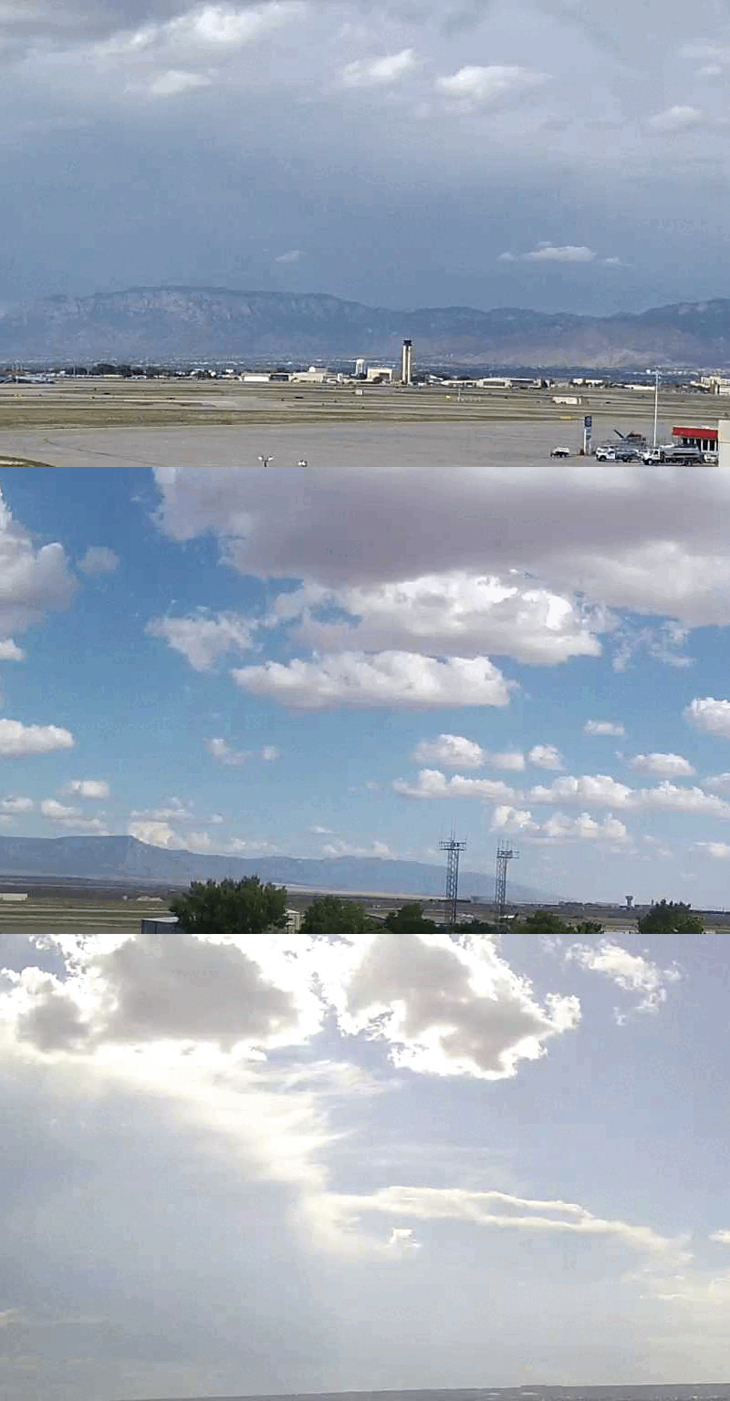 Office Webcam
 Weather Map
 Satellite Imagery
 Follow us on X
 Follow us on Facebook
 Follow us on YouTube
 ABQ RSS Feed