National Weather Service United States Department of Commerce

Severe Thunderstorms for the Center of the Nation; Fire Weather Concerns; Flooding Issues for the Great Lakes Region

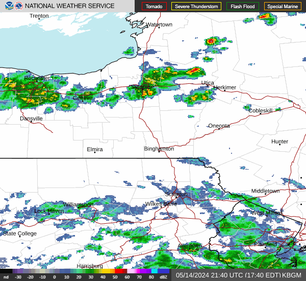
A round of severe thunderstorms are forecast across areas of the Southern Plains, Mississippi Valley and Great Lakes this afternoon and tonight; The threat for flash flooding will also accompany these storms. The rainfall for the Great Lakes region could prolong the ongoing flooding. Where the rain is needed, the Southern High Plains, critical fire weather concerns through today. Read More >

This page will refresh every 10 minutes

Current Hazards Map

Current Hazards Map

Severe Weather / Excessive Rainfall Outlooks

Day 1 | Day 2 | Day 3


Day 1 Severe Weather Outlook

Day 1 Severe Weather Outlook

Day 1 Excessive Rainfall Outlook

Day 1 Excessive Rainfall Outlook


Day 2 Severe Weather Outlook

Day 2 Severe Weather Outlook

Day 2 Excessive Rainfall Outlook

Day 2 Excessive Rainfall Outlook


Day 3 Severe Weather Outlook

Day 3 Severe Weather Outlook

Day 3 Excessive Rainfall Outlook

Day 3 Excessive Rainfall Outlook


Radar

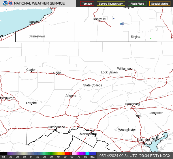
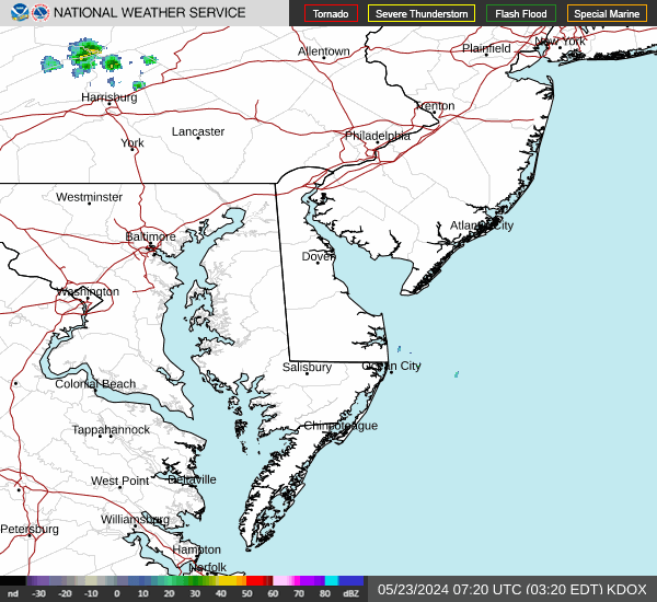
National Radar | Regional Radar | State College Radar | Washington DC Radar | More Area Radars


Links to National Radar Page


Regional Radar Loop

Regional Radar


State College Radar Loop     (View High Bandwidth Radar Page)

KCCX Radar (State College)


Washington DC Radar Loop     (View High Bandwidth Radar Page)

KLWX Radar (Sterling, VA)


More Area Radars    (Click an image to view loop)

KPBZ Radar (Pittsburgh) KCLE Radar (Cleveland, OH) KBUF Radar (Buffalo, NY)
KBGM Radar (Binghamton, NY) KDIX Radar (Philadelphia) KDOX Radar (Dover, DE)

Latest Forecast for Franklin County

Latest Observations

Forecast Discussion

GeoColor Satellite (Click HERE for loop)

GeoColor Image


Visible Satellite (Click HERE for loop)

Visible Image


Infrared Satellite (Click HERE for loop)

Infrared Image