
Tropical moisture from Isaias and Rachel will impact portions of the Intermountain West and East Coast states. Flooding, gusty winds and even a threat for severe thunderstorms and tornadoes are possible. Meanwhile, record warmth will spread northward across the Mississippi Valley the next few days. Looking for snow, the first winter storm of the season is underway across the northern Rockies. Read More >
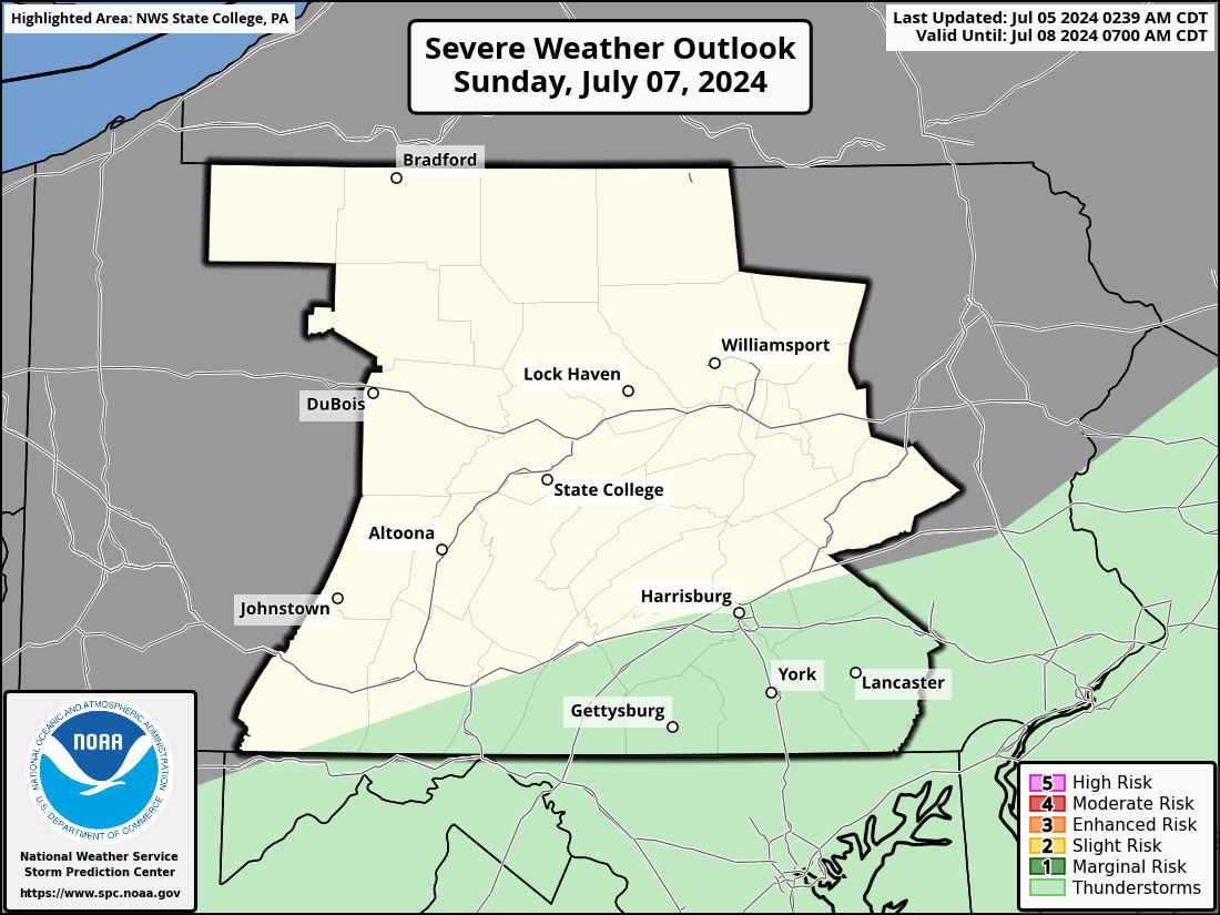
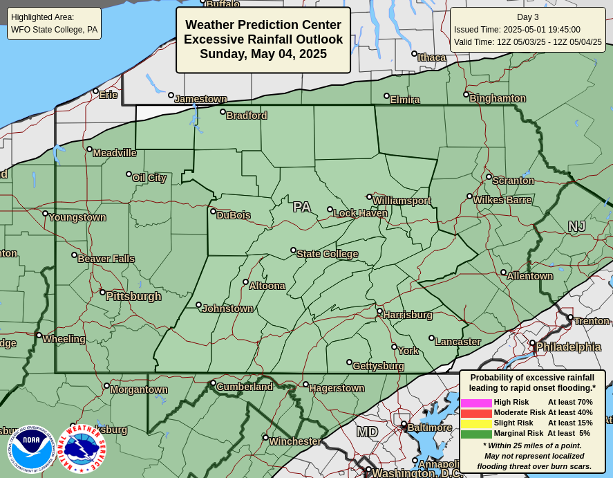
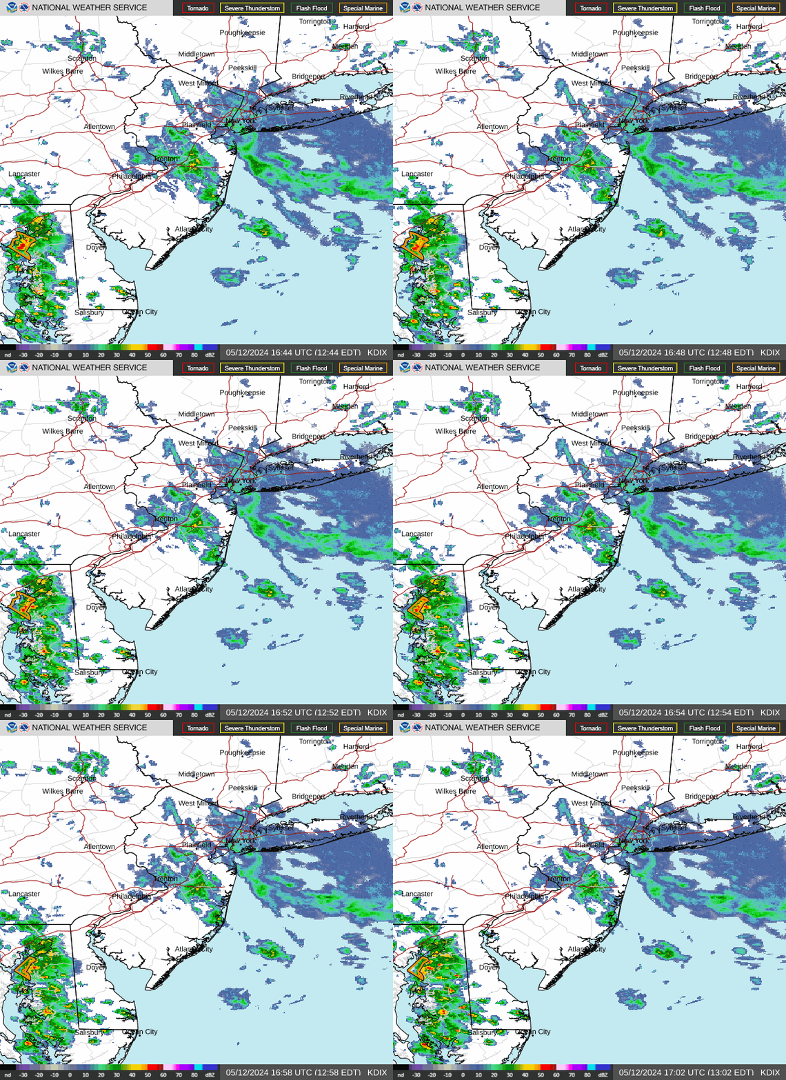
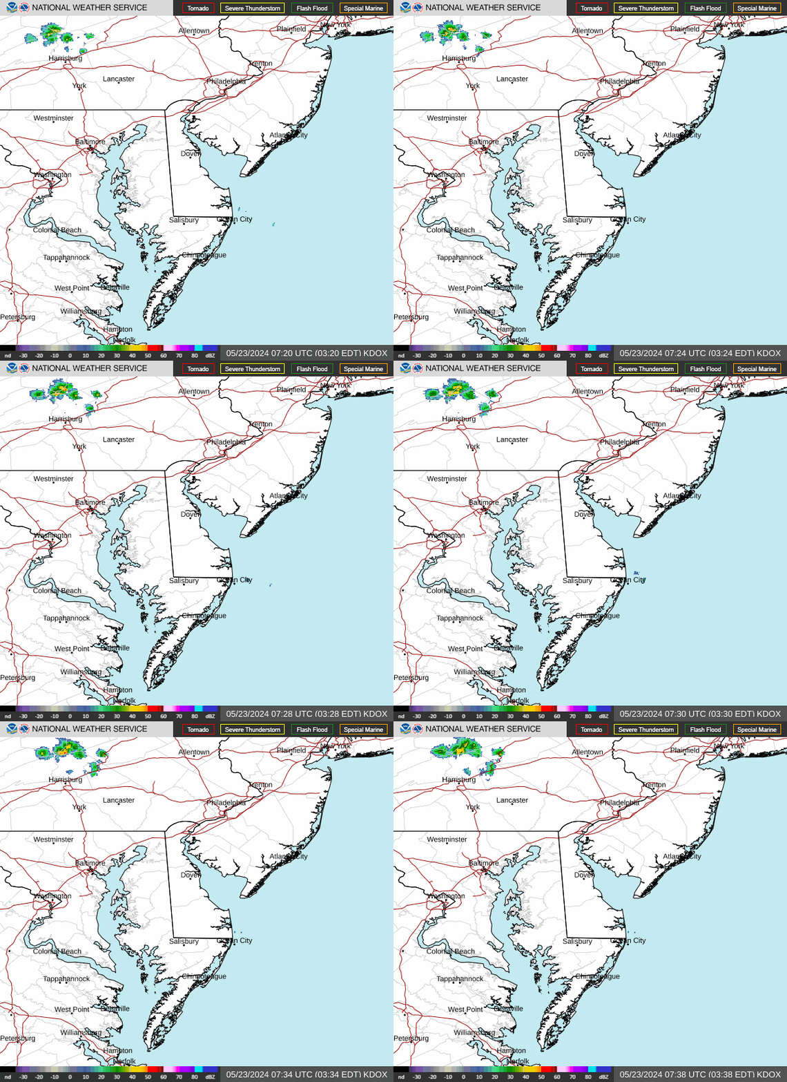
National Radar | Regional Radar | State College Radar | Washington DC Radar | More Area Radars

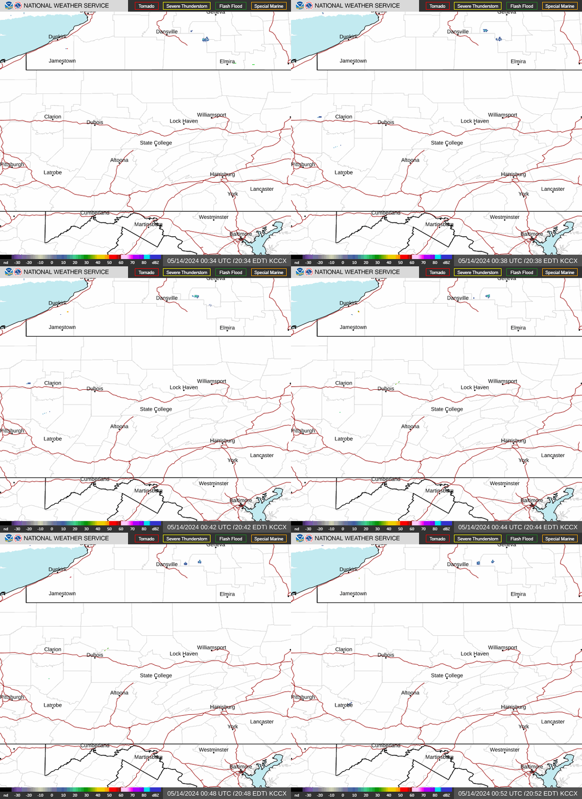
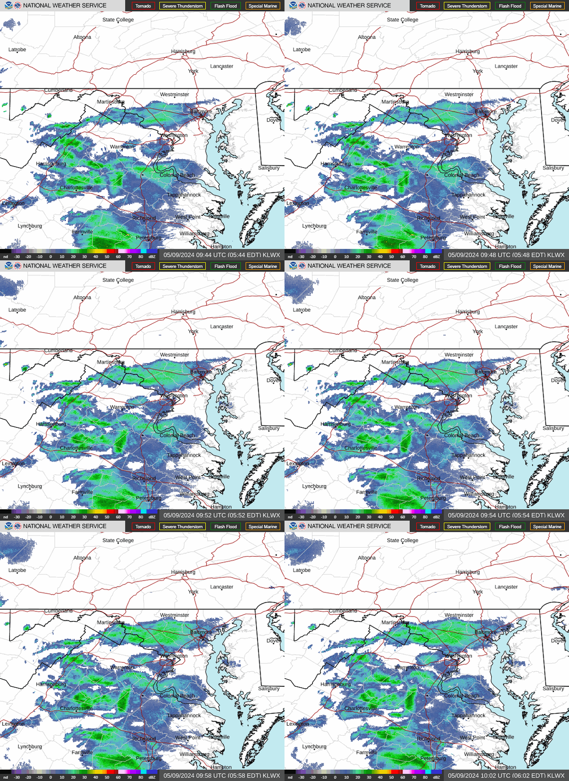






 Radar
Radar Current Weather
 Rivers & Lakes
 Satellite
 Forecast Maps
 Hour by Hour Forecast
 Tropical Weather
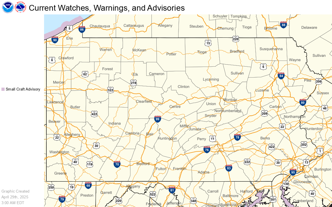
 Graphical Hazards
 Weather Hazards Briefing
 Fire Weather
 Text Forecasts and Statements
 Forecaster's Discussion
 Send Us a Report
 KCCX Local Radar (Hi-Res)
 Drought
 Winter
 Follow us on X
 Follow us on Facebook
 CTP RSS Feed