National Weather Service United States Department of Commerce

Heavy Rain Continues Over Eastern Florida; Watching Storm Potential Near the Southeast U.S. Coast

Heavy to excessive rainfall will continue to threaten considerable flash and urban flooding impacts over the east central Florida coast from Palm Coast to near Melbourne through Friday. A subtropical or tropical storm may form near or offshore of the southeast U.S. coast this weekend. Regardless of development, strong winds, rough surf, coastal flooding, and heavy rain are likely. Read More >
This page will refresh every 10 minutes

Hourly Weather Forecast

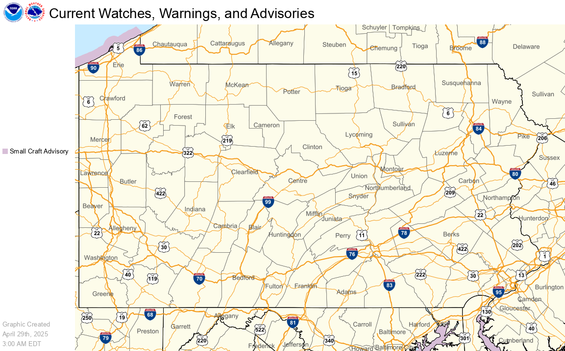
Current Hazards Map

Current Hazards Map

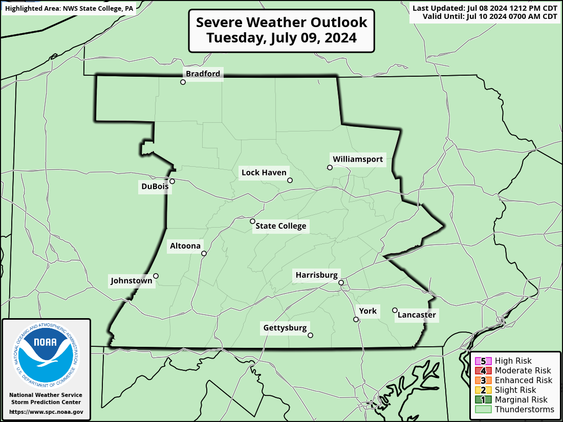
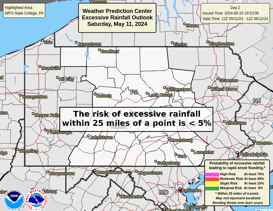
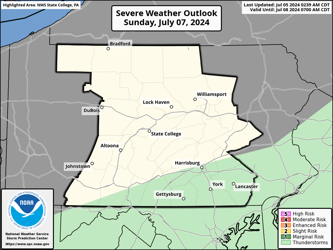
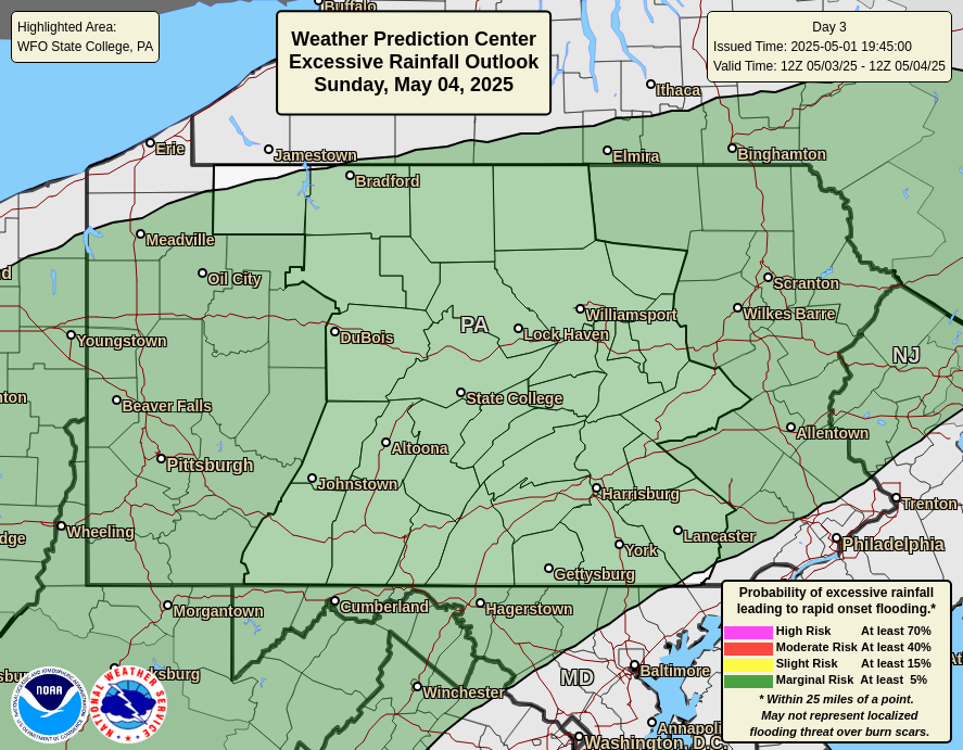
Severe Weather / Excessive Rainfall Outlooks

Day 1 | Day 2 | Day 3


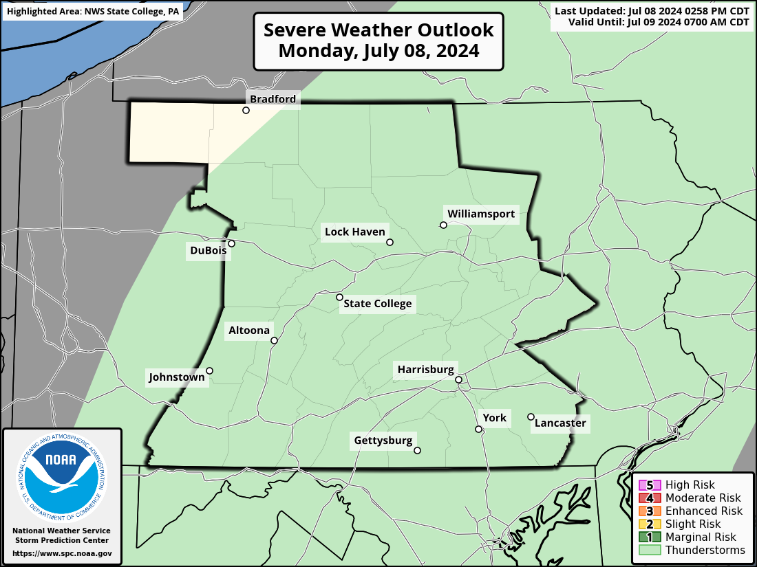
Day 1 Severe Weather Outlook

Day 1 Severe Weather Outlook

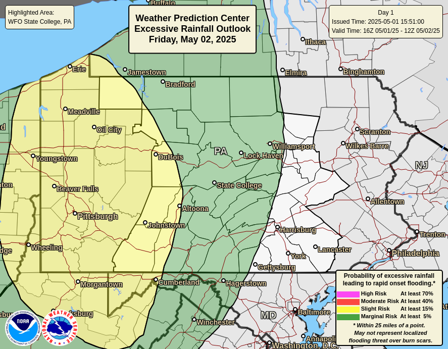
Day 1 Excessive Rainfall Outlook

Day 1 Excessive Rainfall Outlook


Day 2 Severe Weather Outlook

Day 2 Severe Weather Outlook

Day 2 Excessive Rainfall Outlook

Day 2 Excessive Rainfall Outlook


Day 3 Severe Weather Outlook

Day 3 Severe Weather Outlook

Day 3 Excessive Rainfall Outlook

Day 3 Excessive Rainfall Outlook


Radar

National Radar | Regional Radar | State College Radar | Washington DC Radar | More Area Radars
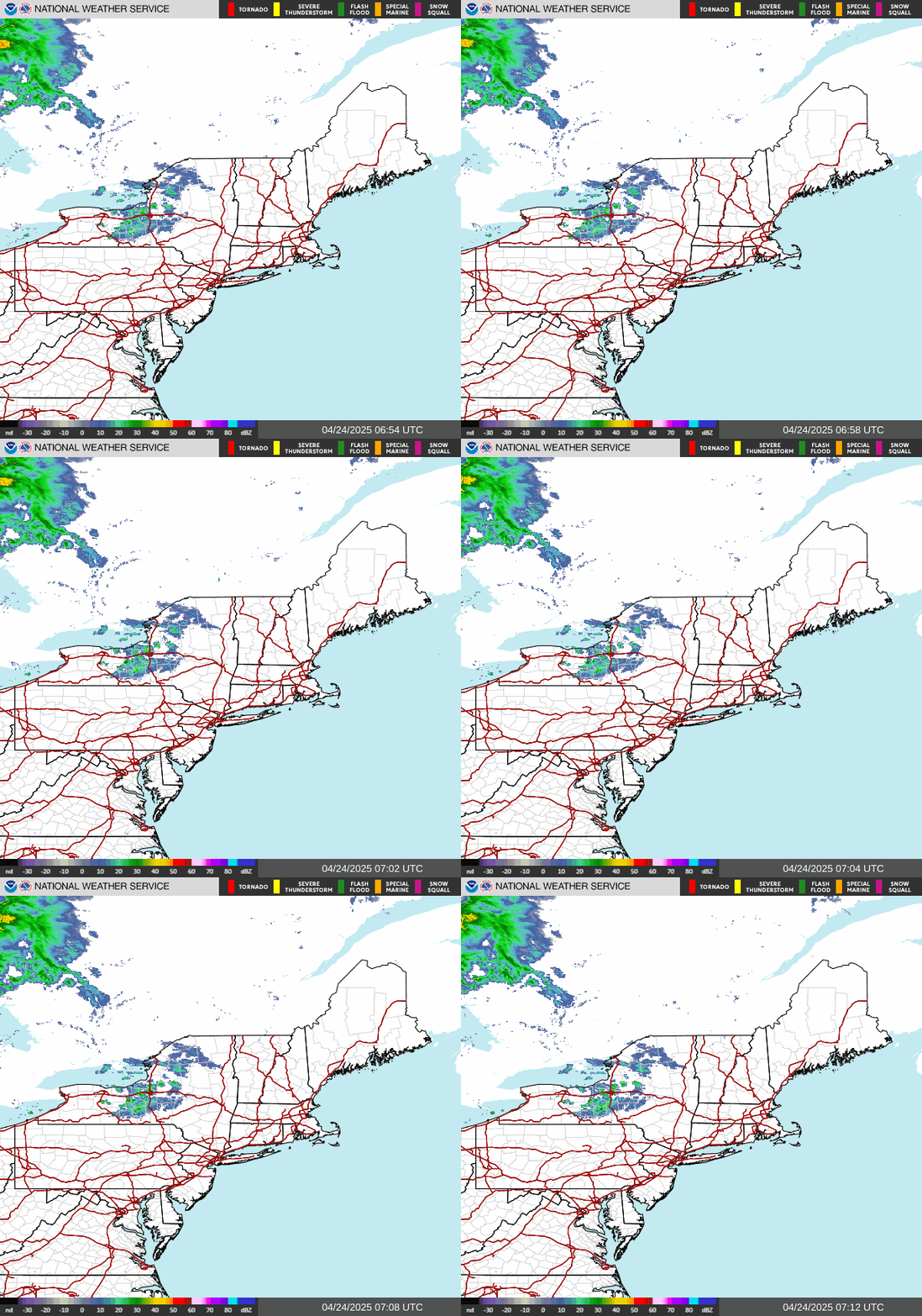
 

Links to National Radar Page


Regional Radar Loop

Regional Radar


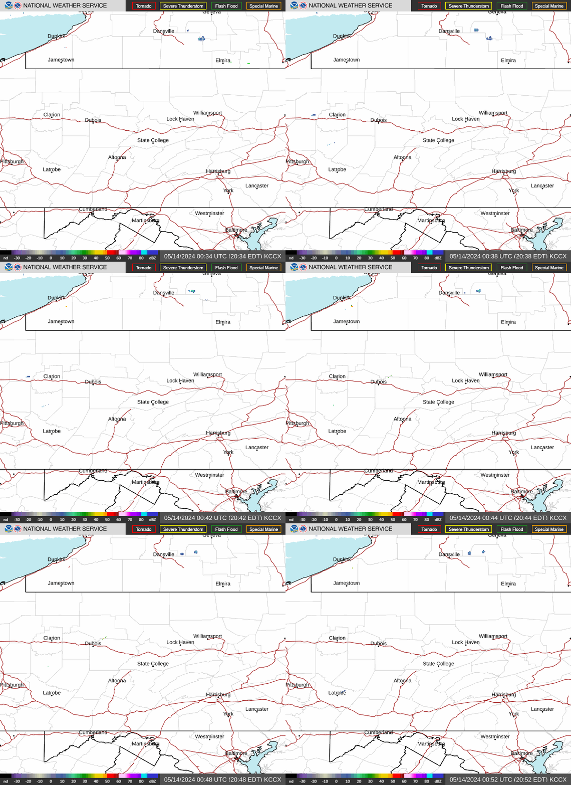
State College Radar Loop     (View High Bandwidth Radar Page)

KCCX Radar (State College)


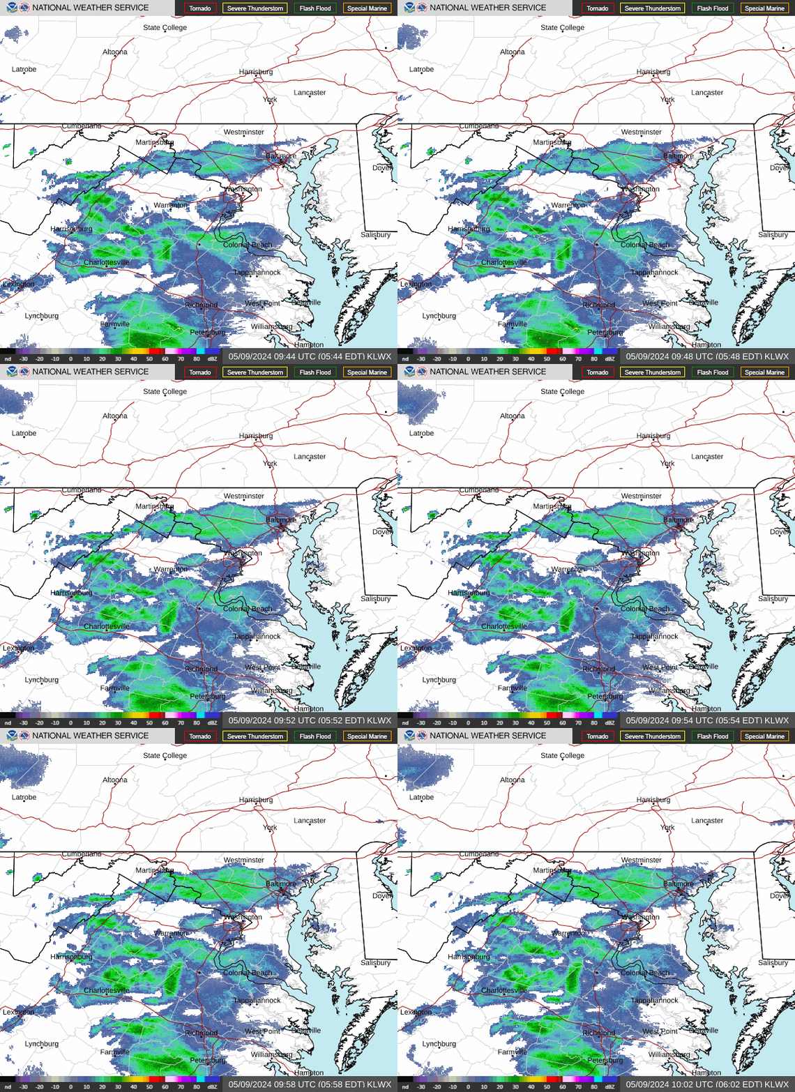
Washington DC Radar Loop     (View High Bandwidth Radar Page)

KLWX Radar (Sterling, VA)


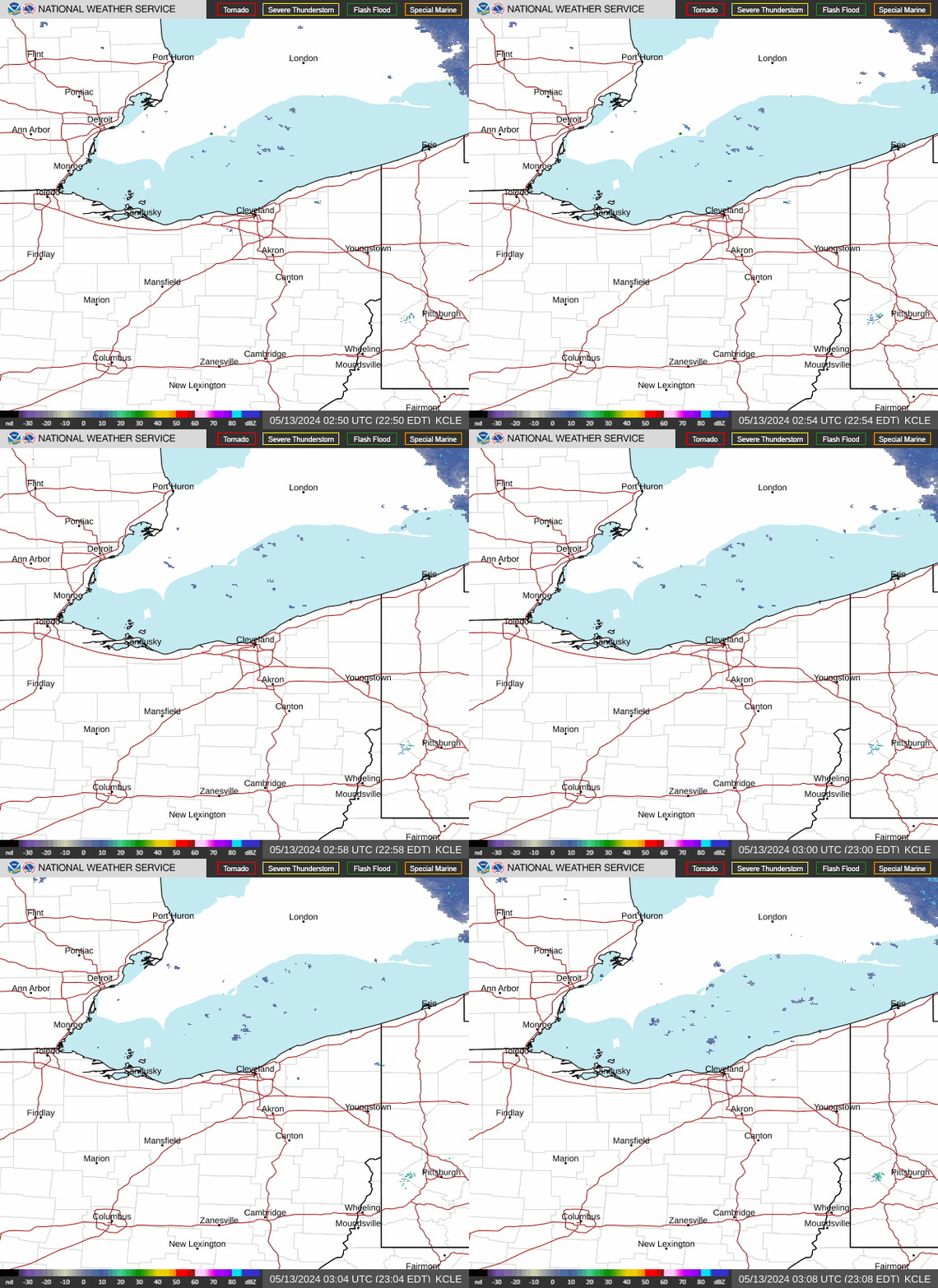
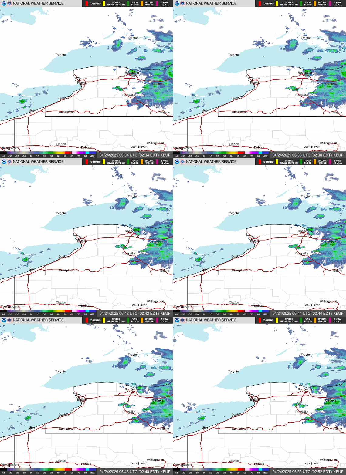
More Area Radars    (Click an image to view loop)

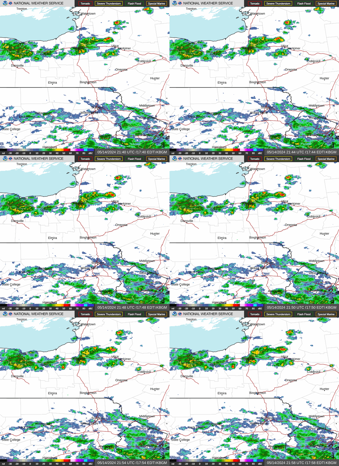
KCLE Radar (Cleveland, OH) KBUF Radar (Buffalo, NY) KBGM Radar (Binghamton, NY)
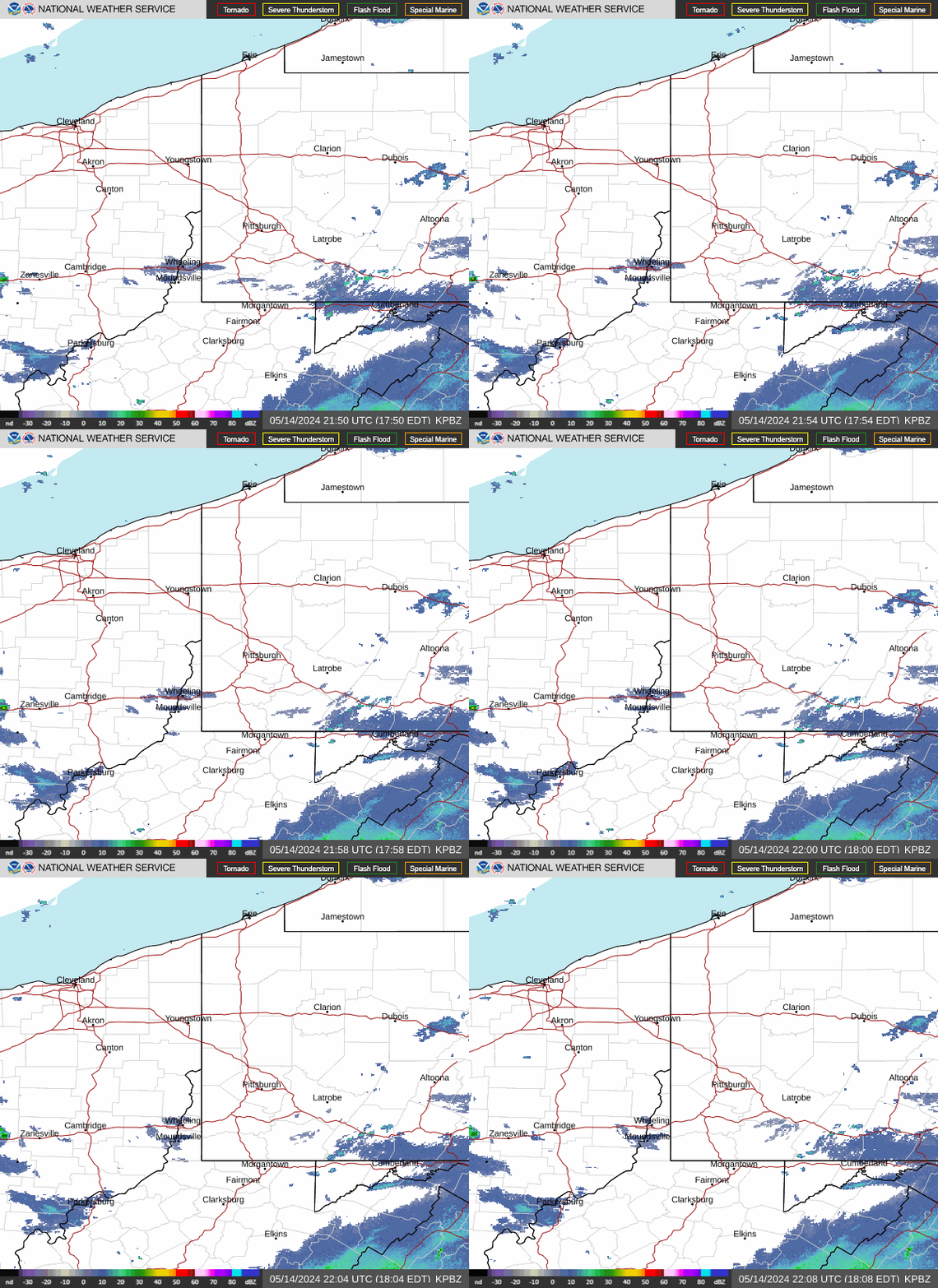
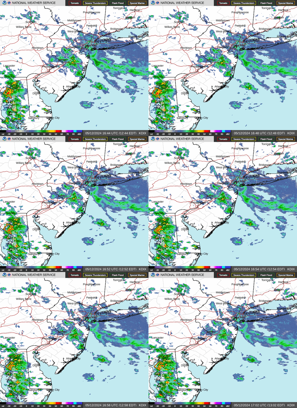
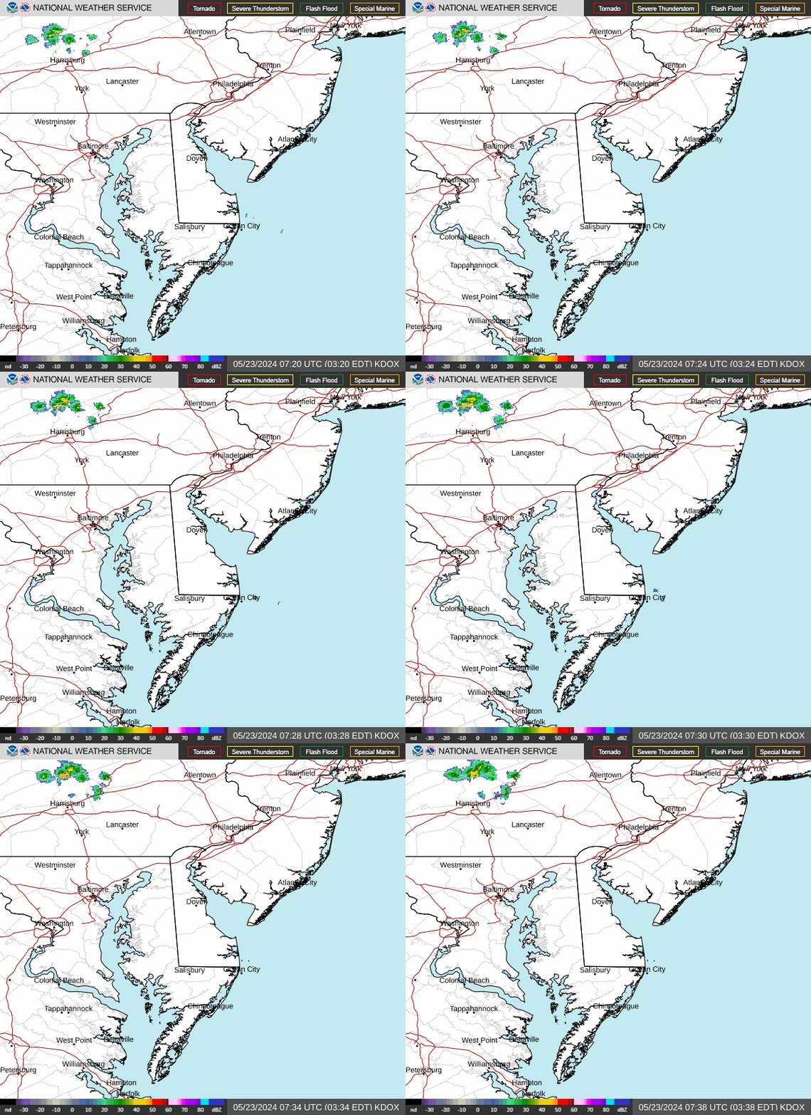
KPBZ Radar (Pittsburgh) KDIX Radar (Philadelphia) KDOX Radar (Dover, DE)

Latest Forecast for

Latest Observations

Forecast Discussion

GeoColor Satellite (Click HERE for loop)

GeoColor Image


Visible Satellite (Click HERE for loop)

Visible Image


Infrared Satellite (Click HERE for loop)

Infrared Image