| Upper Air (Weather Balloon) Observations | Weather balloons are released twice a day, giving us charts, maps, & soundings. |
| |
| Davenport, IA Upper Air Sounding |
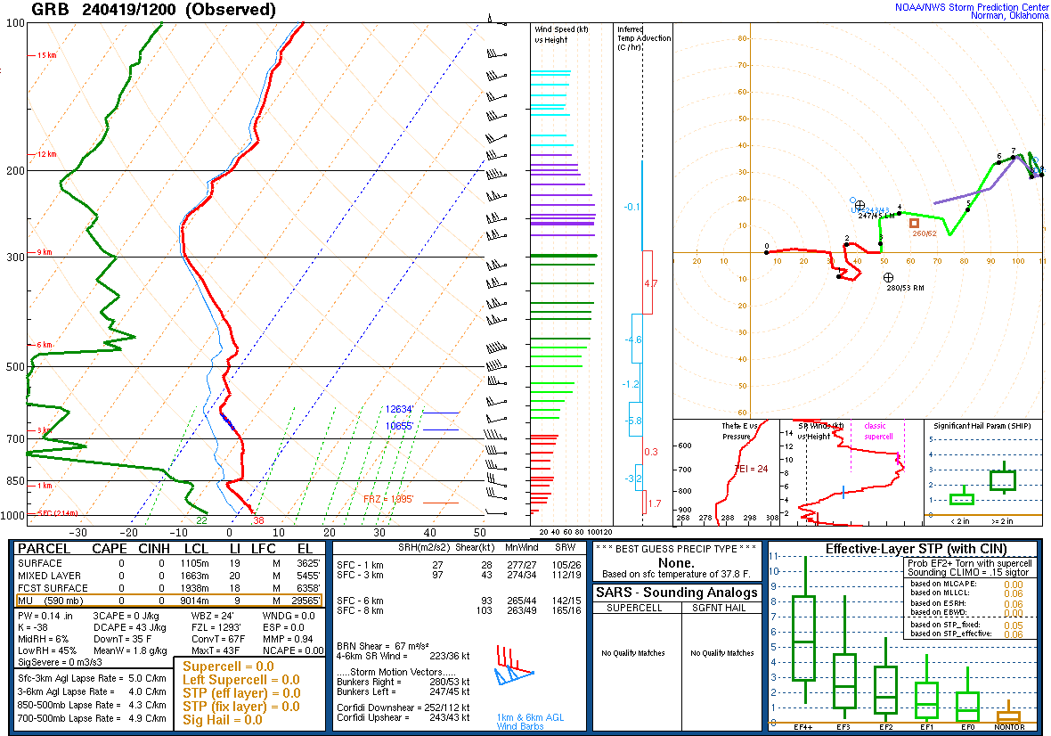
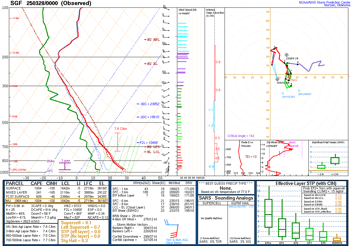
Additional Local Soundings |
 |
| |
|
|
| Omaha, NE |
Minneapolis, MN |
Green Bay, WI |
 |
 |
 |
| |
|
|
| Topeka, KS |
Springfield, MO |
Lincoln, IL |
 |
 |
 |
|
|
| |
|
|
| |
| |
| |
| |
|
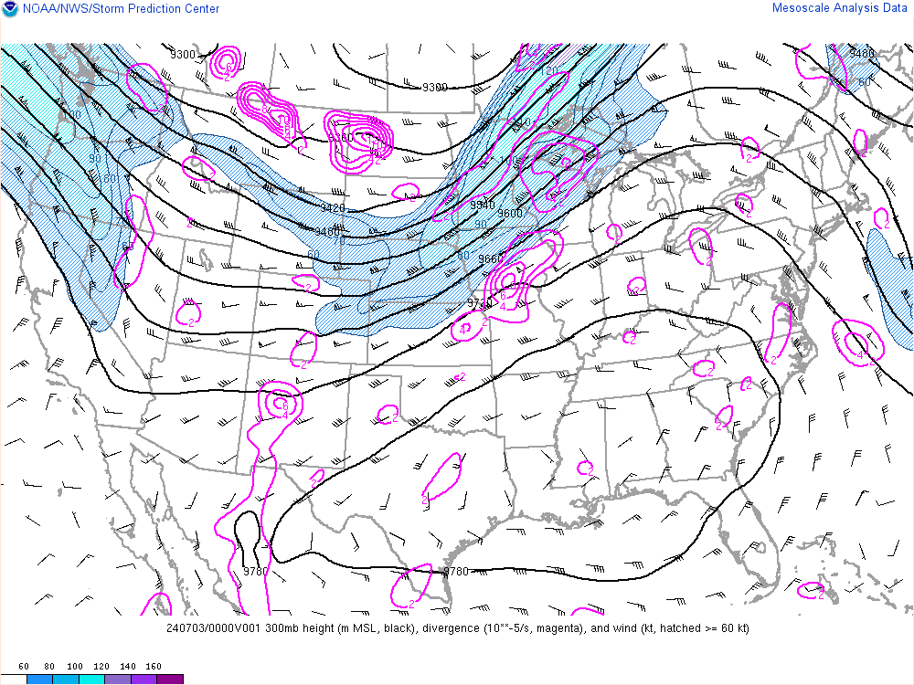
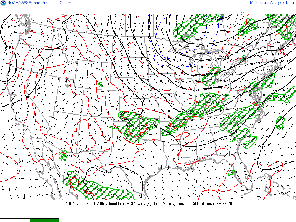
National Maps |
|
|
| |
(SPC National Mesoscale Analysis Page) |
|
| |
|
|
|
|
| 300mb |
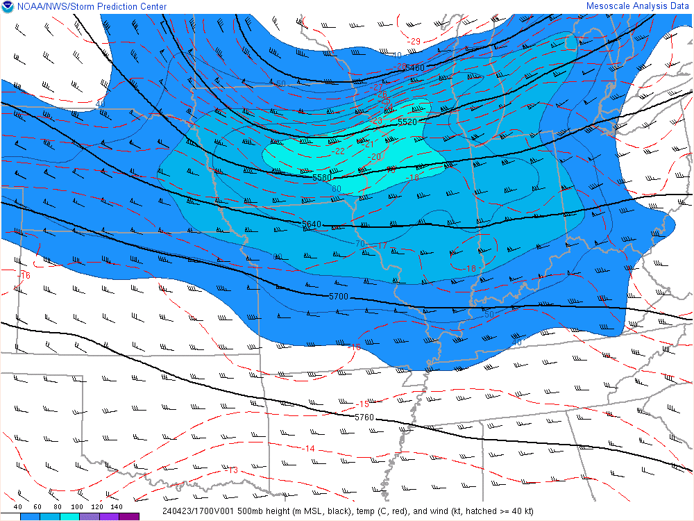
500mb |
700mb |
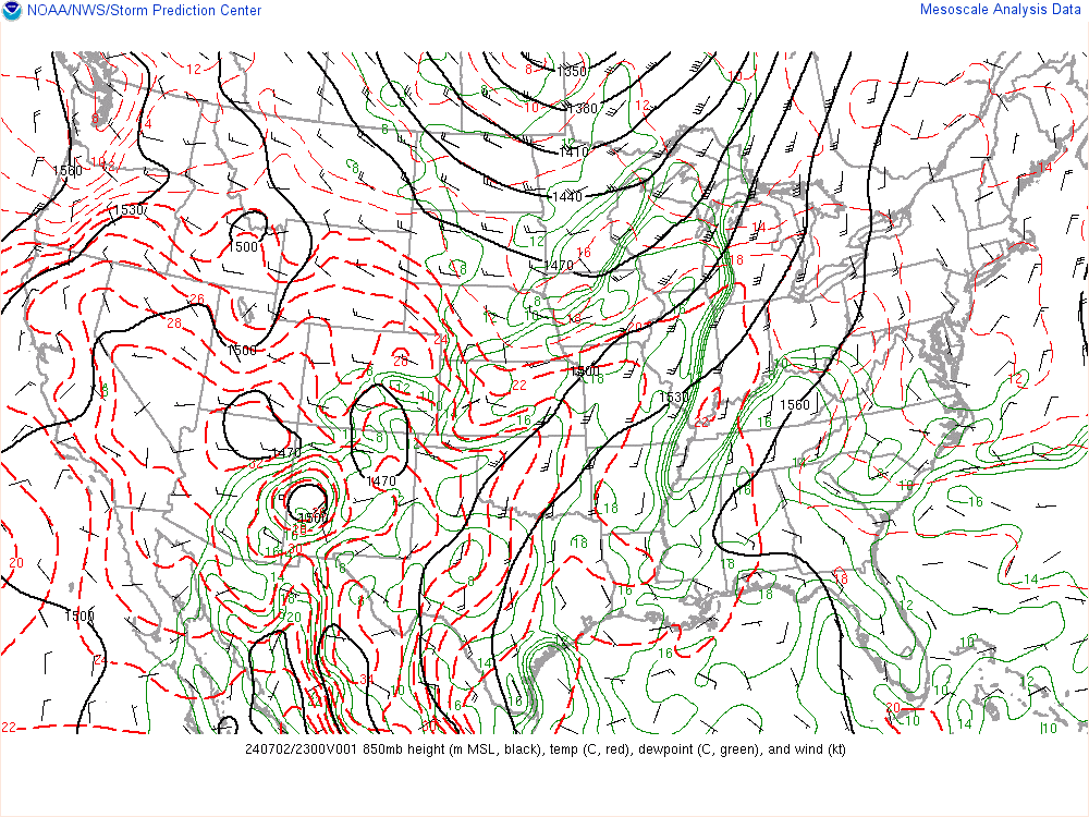
850mb |
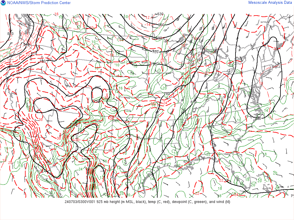
925mb |
 |
 |
 |
 |
 |
| |
|
|
|
|
| |
|
Midwest Sector |
|
|
| |
(SPC Midwest Mesoscale Analysis Page) |
|
| |
|
|
|
|
| 300mb |
500mb |
700mb |
850mb |
925mb |
 |
 |
 |
 |
 |
|
| |
| |
|


