National Weather Service United States Department of Commerce

Areas of Extreme Heat and Fire Weather in the Northwest U.S.; Heavy Rain in the West and South-central U.S.

Extreme heat will continue in the interior Northwest into midweek before finally waning. Hot temperatures, dry, gusty winds, and isolated dry thunderstorms will bring critical fire weather. Heavy rain and thunderstorms are expected across portions of the Great Basin, Rockies, and central/southern Plains. An atmospheric river will bring heavy rain and strong winds to southwest Alaska. Read More >

Click a location below for detailed forecast.

Last Map Update: Tue, Aug 26, 2025 at 1:24:16 pm MST

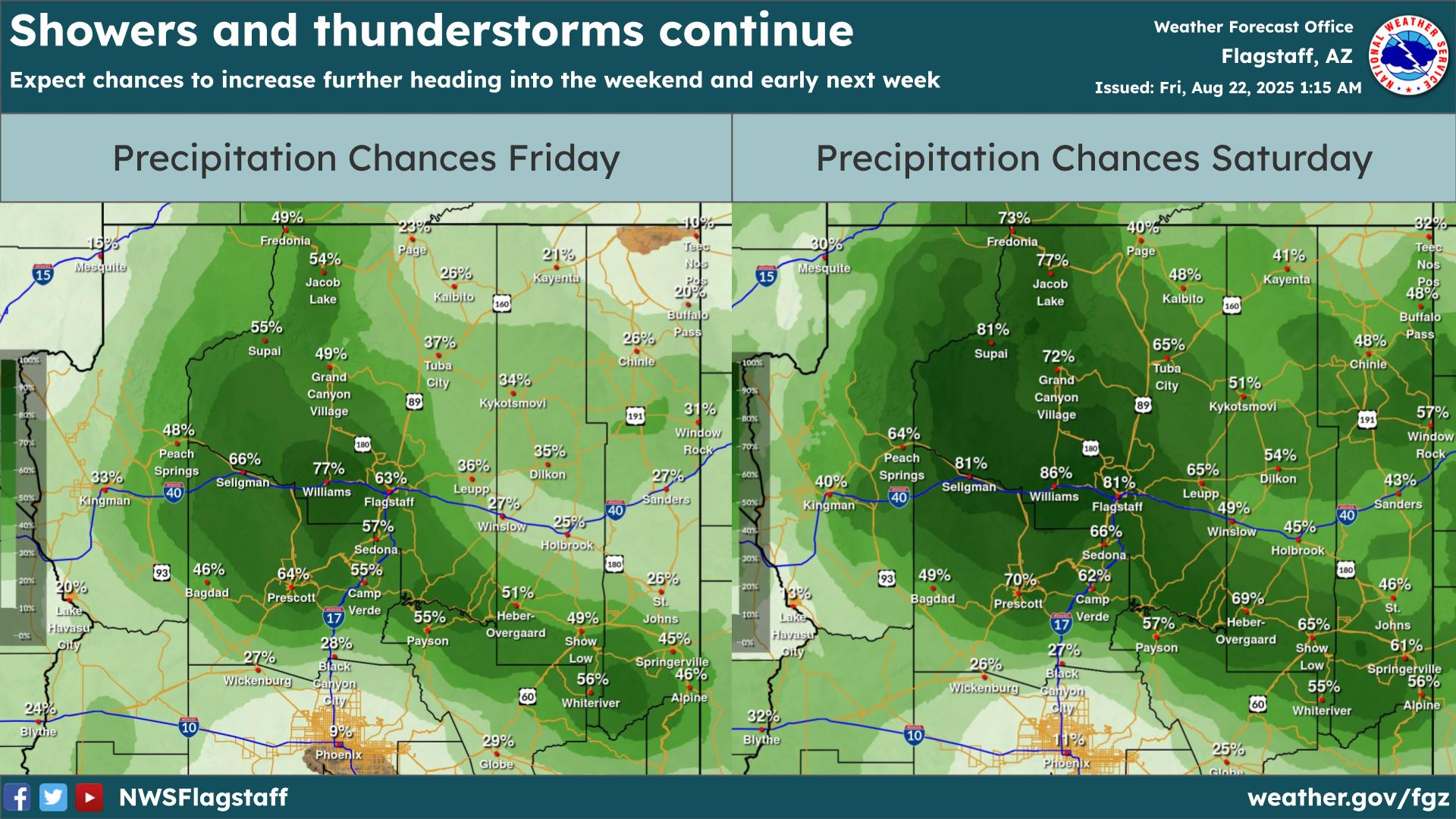
Another active day is upon us with showers and thunderstorms firing up around 11 AM MST. Storms will be capable of producing gusty/erratic winds, small hail, frequent lightning, and heavy rain.
The Weather Prediction Center has an Excessive Rainfall Outlook for central/northern Arizona. A Slight Risk is highlighted for the eastern Rim and White Mountains, where there is a 15% chance of rainfall exceeding flash flood guidance within 25 miles of a point. Elsewhere in AZ is under a marginal risk (5%).
Slow moving thunderstorms over recently burned areas on the Kaibab Plateau will lead to an elevated risk for flash flooding into early next week, and a Flash Flood Watch is in effect through Tuesday.
Monsoon moisture has pushed across all of Arizona. Conditions are setting up for the development of heavy showers and thunderstorms over the Dragon Bravo fire scar on Saturday through Monday.


Text Product Selector (Selected product opens in current window)