
A significant heat wave continues for the Rockies, Northern Plains, and Great Lakes into the Mid-Atlantic, peaking in intensity through midweek and lingering across parts of the Northern Plains and Midwest until this weekend. Excessive rainfall my bring life-threatening and locally catastrophic flash and urban flooding across portions of southwestern Texas through early Friday. Read More >
As 2019 comes to a close, we not only see an end to the calendar year, but also to the decade. We took a look back into our weather history archives of significant weather events across south central Nebraska and north central Kansas and highlighted a top story for each year from 2010-2019. So sit back and follow each of the links and see how many of these events you recall from the past ten years.
| 2019 | 2018 |
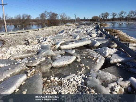
| Historic Flooding - March | Blizzard - January 21-22 |
 |
 |
| Hwy 14 south of Fullerton (photo by the Nebraska State Patrol) | Northwest of Central City (photo by Jennifer Mohn Kenny) |
| 2017 | 2016 |
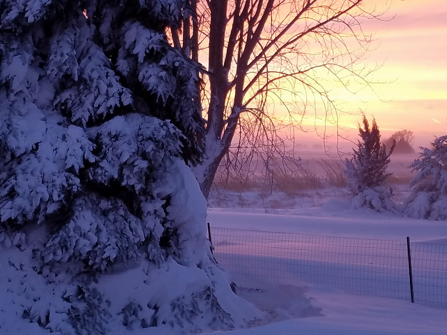
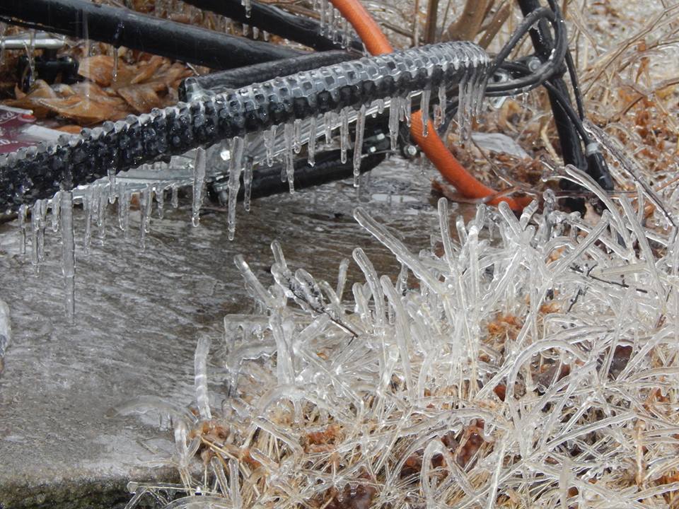
| Ice Storm - January 15-16 | Christmas Tornadoes and Hurricane Force Winds |
 |
 |
| Ruskin, NE (photo by Janyssa Taylor) |
Near Gibbon, NE (photo by Heather Riggleman) |
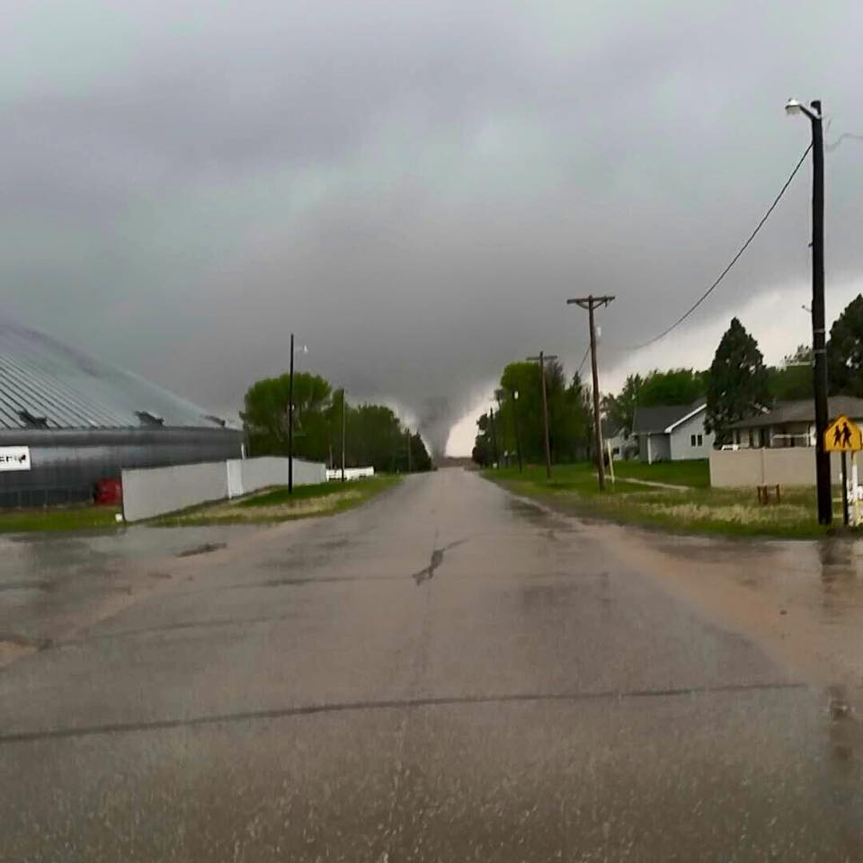
| 2015 | 2014 |
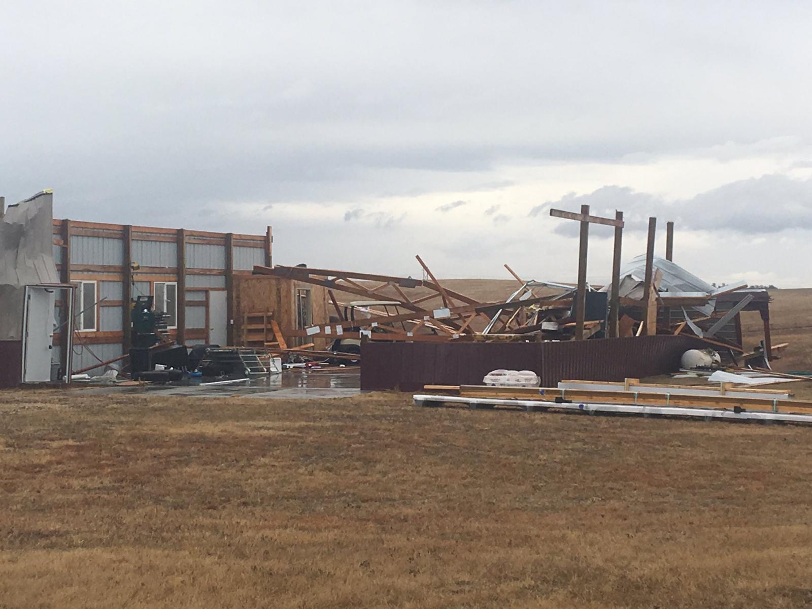
| Eleven Tornadoes - May 6th | Mother's Day Severe Weather Outbreak - May 11th |
 |
 |
| Near Roseland, NE (photo by Dalton Davis) | Near Sutton, NE (photo by Philip Lueking) |
| 2013 | 2012 |
| Snowstorm - February 20-21 | First Tornadoes on Record in February - February 28 |
 |
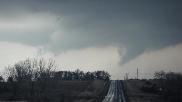 |
| Stockton, KS | Near Greeley, NE (photo by Tim Marquis) |
| 2011 | 2010 |
| Tornado Outbreak - June 20 | Bredthauer Dam Failure Floods North Loup - June 11 |
.JPG) |
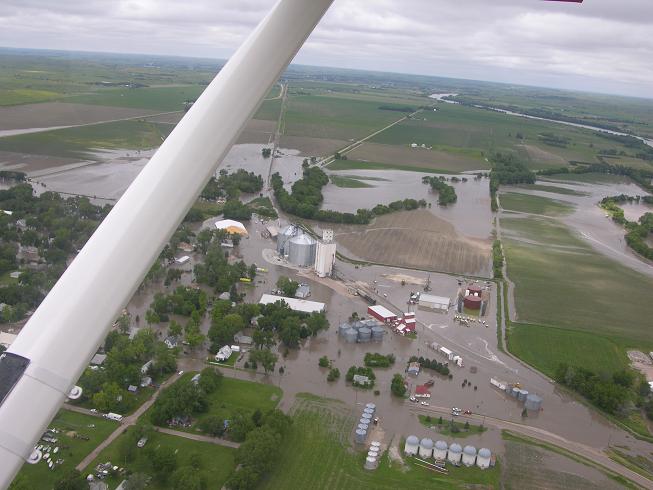 |
| South of Elm Creek, NE (photo by Bryce Kintigh) | North Loup, NE (photo by Gary Keller) |

