NWS Wilmington, NC
Weather Forecast Office
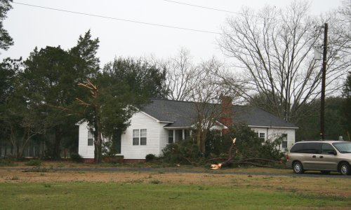
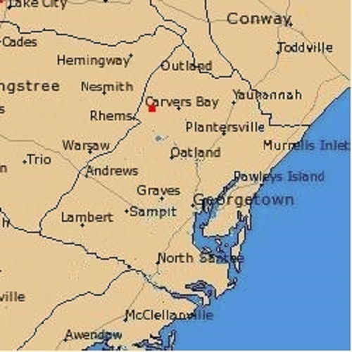
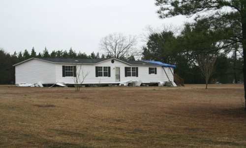
Squall line Producing Wind Damage in Georgetown County
On February 26, 2008, A strong cold front brought with it an impressive line of showers and thunderstorms and some severe weather in Georgetown County. The damage occurred near the Outland/Carvers Bay area. When looping the satellite...you can see the stronger and more widespread convection remained to the south. This is shown by the colder cloudtops and density of the lightning strikes. With the stronger activity remaining to the south...low-level moisture advection or the lack thereof kept the strong line of convection somewhat in check.
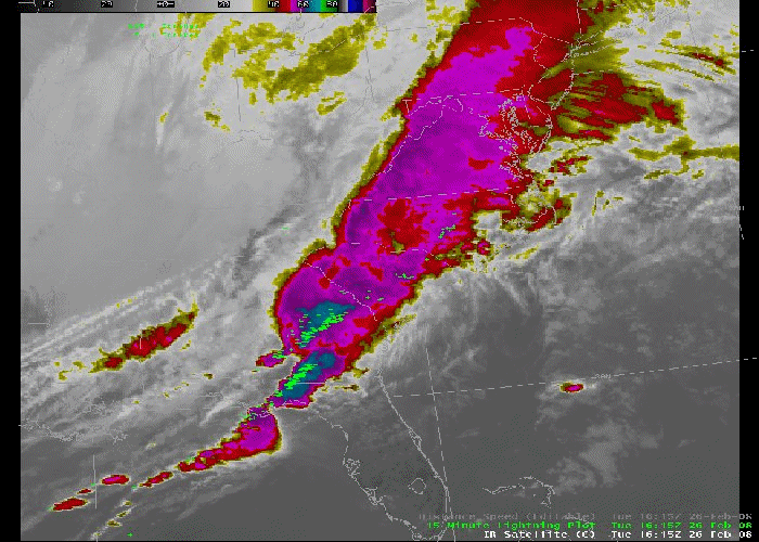 Satellite Image Loop Satellite Image Loop |
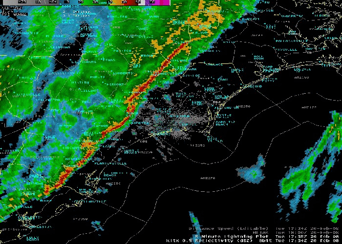 Radar Reflectivity Loop Radar Reflectivity Loop |
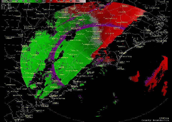 Radar Velocity Loop Radar Velocity Loop |
 |
 |
 |
| Radar Image of Storms | Public Information Statement | Location of Damage |
Forecasts
Discussion/Key Messages
Products
Enhanced Graphics
Graph/Table/Text
Graphical
Weather Activity Planner
Aviation
Marine
Hydrology
Rivers/Tides
Tidal Flooding
Beach
Surf
Tropical
Fire
Heat
Winter
Mobile
Weather Models
Hazards
One-stop Briefing
Graphical Hazard Outlook
Latest Briefing
Social Media Feeds
County EM Briefing
Submit Storm Report
Current Conditions
Observations Map
Observations Listing
Marine Observations
Regional Weather Roundup
Satellite
US Dept of Commerce
National Oceanic and Atmospheric Administration
National Weather Service
NWS Wilmington, NC
2015 Gardner Drive
Wilmington, NC 28405
(910) 762-4289
Comments? Questions? Please Contact Us.


 Coastal Flood