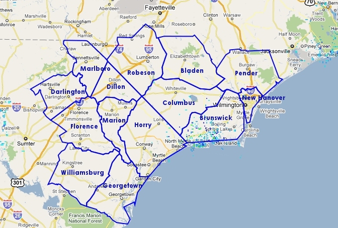
Click on your county on the map below or select it from the Select County menu for weather information specific to that county. You can also use the other menus and/or scroll down further on this page for additional information.
Local Graphical Hazards Outlook
NWS GIS Viewer |
Local Radar |
Regional Radar |
 |
 |
 |
Visible |
Infrared |
Water Vapor |
 |
 |
 |
| Additional Satellite Views | ||
Click on Maps
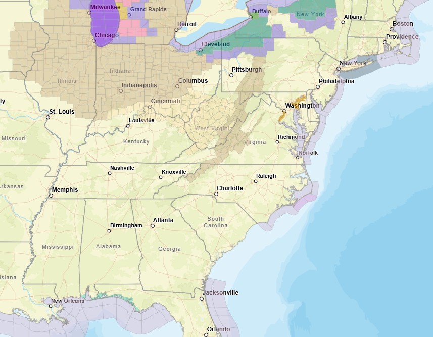
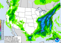
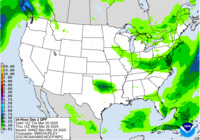
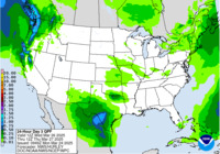
Climate Prediction CenterHazards Outlooks
|
||||||||||||||||||||||||||


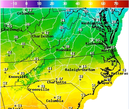


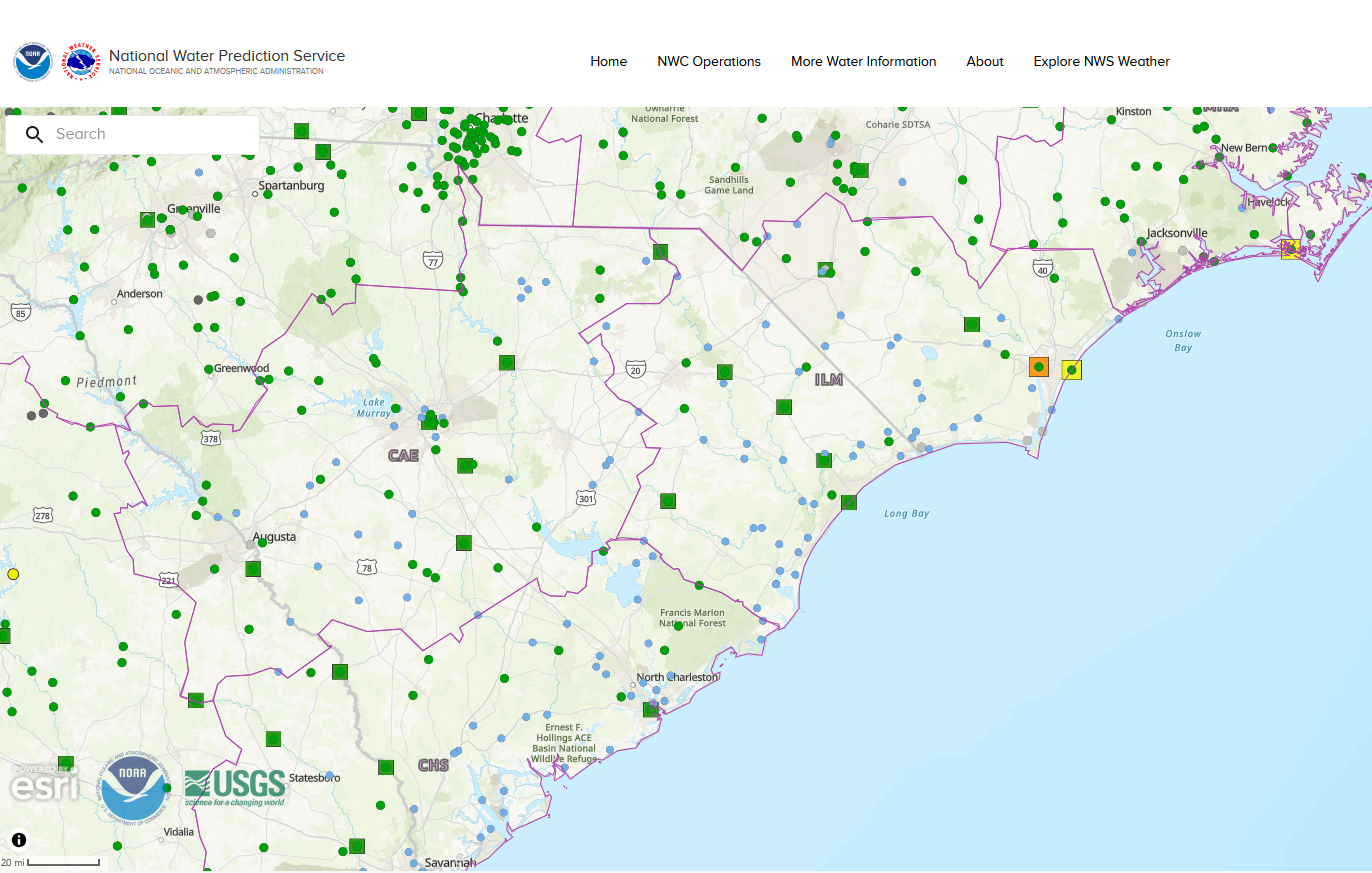


 Coastal Flood