National Weather Service United States Department of Commerce

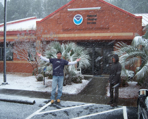
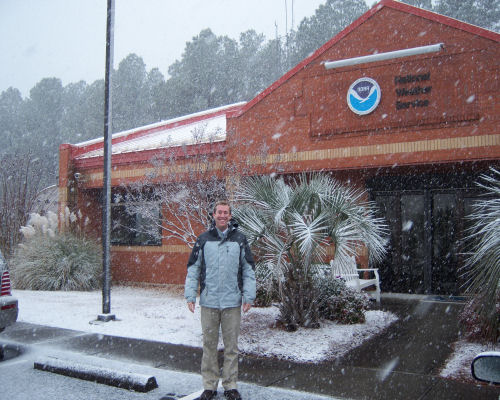
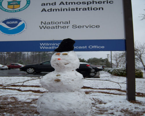
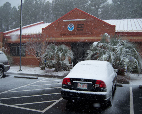
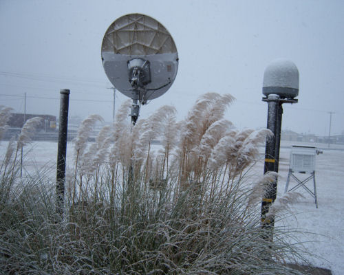
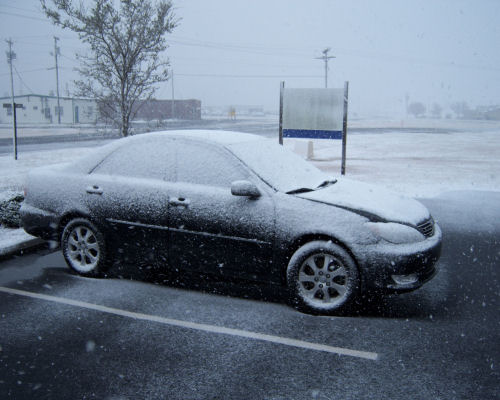
On January 20, 2009 Southeastern North Carolina and Northeastern South Carolina experienced a significant snowfall. This was the first significant snow in several years...especially along the coast.


500 MB Pattern | Surface Pattern | Frontogenesis Fields | Visible Satellite | Snow Pictures | Snow Reports


an image of the visible satellite imagery


500MB Pattern

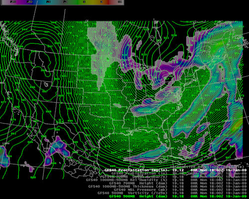
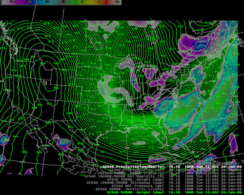
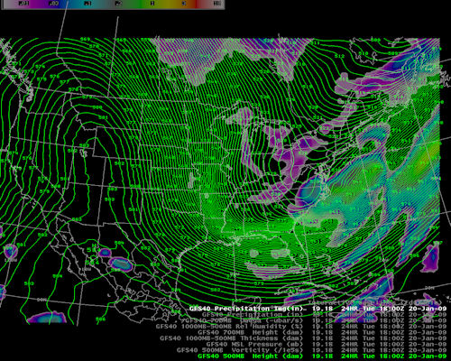
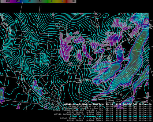
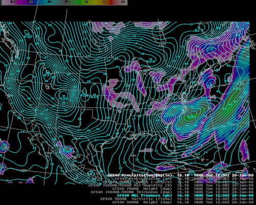
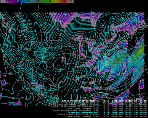
The 500mb pattern consisted of a deep east coast trough with several embedded short waves.


A picture of the 500 mb pattern from the Jan 20, 2009 Snow Event A picture of the 500 mb pattern from the Jan 20, 2009 Snow Event A picture of the 500 mb pattern from the Jan 20, 2009 Snow Event A picture of the 500 mb pattern from the Jan 20, 2009 Snow Event A picture of the 500 mb pattern from the Jan 20, 2009 Snow Event


Surface Pattern

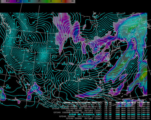
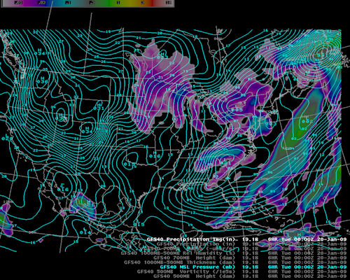
The surface pressure pattern showed an area of low pressure developing in the lee of the Appalachian Mountains. This low pressure would move off the coast and allow cold air to move in.

A picture of the surface pattern from the Jan 20, 2009 Snow Event A picture of the surface pattern from the Jan 20, 2009 Snow Event A picture of the surface pattern from the Jan 20, 2009 Snow Event A picture of the surface pattern from the Jan 20, 2009 Snow Event A picture of the surface pattern from the Jan 20, 2009 Snow Event


GFS Frontogenesis Model Fields

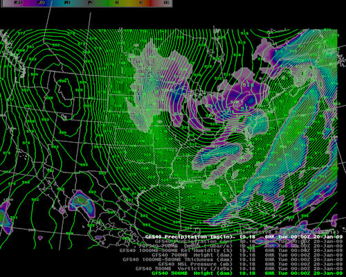
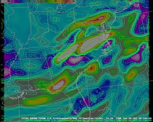
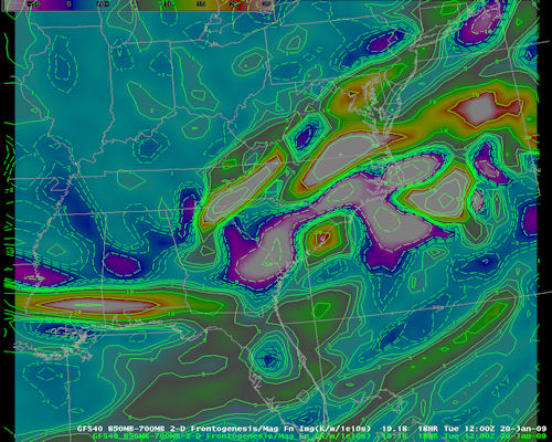
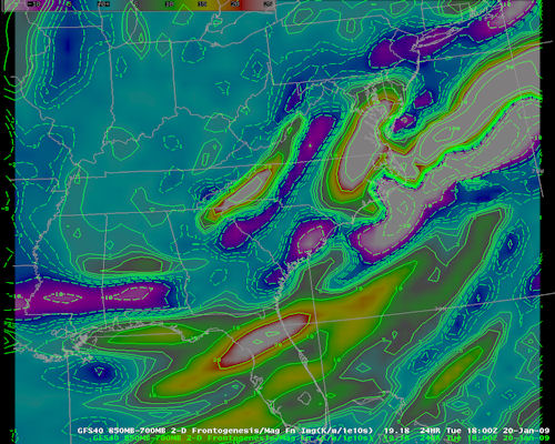
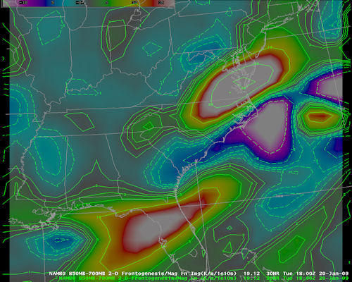
The GFS frontogenesis fields...in the layer from 850 to 700MB...displayed the best omega...ie vertical motion with the system. The warm colors represent upward vertical motion.

A picture of the GFS Frontogenesis from the Jan 20, 2009 Snow Event A picture of the GFS Frontogenesis from the Jan 20, 2009 Snow Event A picture of the GFS Frontogenesis from the Jan 20, 2009 Snow Event


NAM Frontogenesis Model Fields

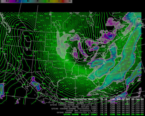
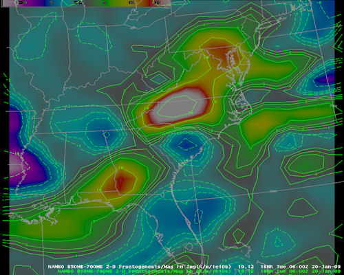
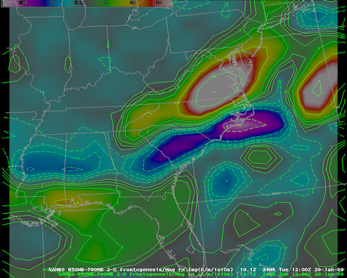
The NAM frontogenesis fields in the 850 to 700MB layer were very close to the GFS model fields.

A picture of the NAM Frontogenesis from the Jan 20, 2009 Snow Event A picture of the NAM Frontogenesis from the Jan 20, 2009 Snow Event A picture of the NAM Frontogenesis from the Jan 20, 2009 Snow Event


Visible Satellite Imagery

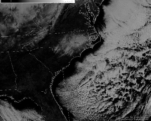
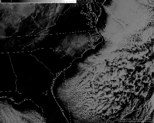
The visible satellite imagery matched up well with both the GFS and NAM 850 to 700MB frontogenesis fields.

An image of visible satellite imagery from the Jan 20, 2009 snow event


Snow Pictures


A picture of the snow Jan 20, 2009 A picture of the snow Jan 20, 2009 A picture of the snow Jan 20, 2009