Jackson, KY
Weather Forecast Office
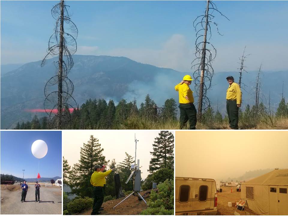
Given the large amount of forested area across eastern Kentucky, fire weather is a major topic here at the NWS Jackson, KY. While all of the NWS Jackson meteorologists are trained in issuing fire weather forecasts for our land management partners and county emergency managers, our office also employs two specialized fire weather forecasters called IMETs (Incident Meteorologists). The NWS has about 80 of these IMET positions nationwide. IMETs are available to be deployed at a moment's notice to assist as an on-scene meteorologist for large wildfires, oil spills, and other natural disasters or large events. The two Jackson, KY IMETs have a combined 14 years of experience, and have assisted in fires in many states across the country, including Alaska, Washington, Texas, and Florida.
Day 12: Monitoring Social Media
Day 11: Participating In Outreach
Day 10: The NOAA Weather Radio
Day 9: Creating The Weather Story
Warnings/Hazards
Decision Support - Outlooks
Current Weather Hazards
Hazards Criteria
Weather Story Graphic
Recent Storm Reports
Submit a Report
Forecasts
Decision Support - Forecast
Aviation Forecasts
Fire Weather Forecasts
Hourly Weather Forecast
Activity Planner
River Forecasts
Forecast Discussion
Current Conditions
Regional Radar
Decision Support - Current
Rivers and Lakes
Hourly Airport Weather
Local Radar
Satellite
Kentucky Mesonet
Past Weather
Local Climate Info
Temp/Precip Summary
How Much Rain Fell?
How Much Snow Fell?
Past Weather Events
Drought Information
Local Coop Observers

US Dept of Commerce
National Oceanic and Atmospheric Administration
National Weather Service
Jackson, KY
1329 Airport Road
Jackson, KY 41339
606-666-8000
Comments? Questions? Please Contact Us.


 Follow us on X
 Follow us on Facebook
 Follow us on YouTube
 JKL RSS Feed