National Weather Service United States Department of Commerce

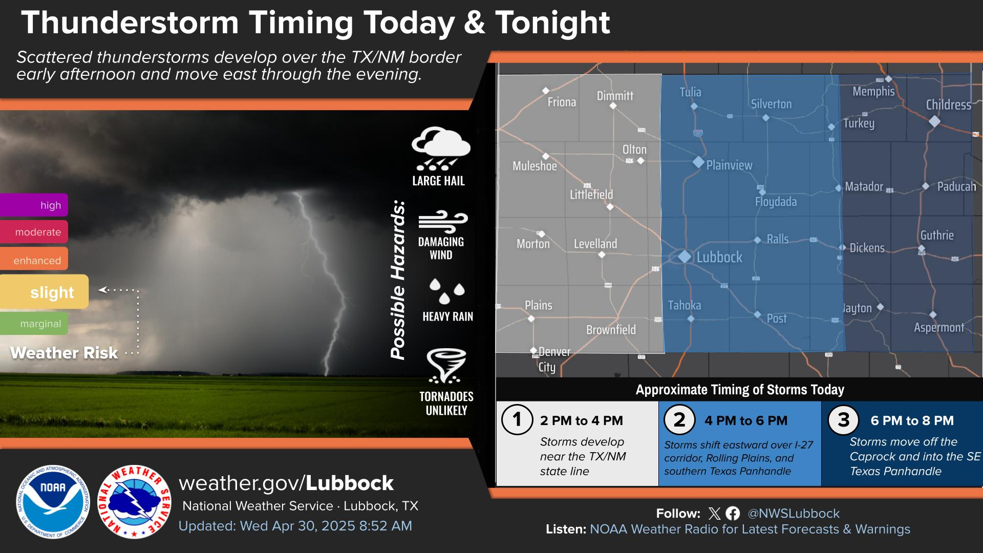
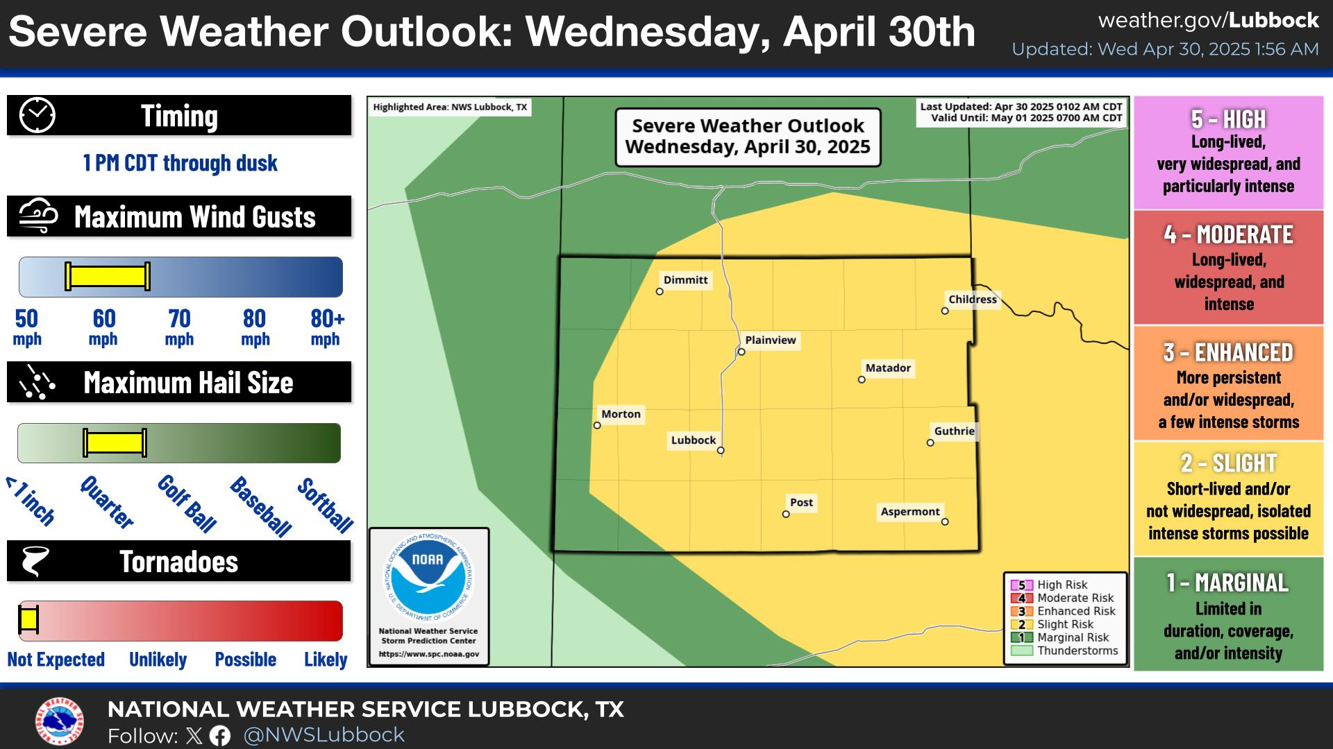
Storms are expected to develop late this afternoon near the I-27 corridor and track east through the late evening. Primary hazards with storms will be damaging wind gusts to 70 mph and large golf ball size hail. Although unlikely, an isolated tornado cannot be ruled out.
Isolated to scattered thunderstorms will be possible tonight, mainly during the evening hours and mainly across areas to the east of the Caprock. Otherwise, look for partly cloudy skies and mild temperatures with lows mostly in the 60s.
Severe thunderstorms are expected late Sunday afternoon through evening for portions of the South Plains, Rolling Plains, and far southern Texas Panhandle. Primary hazards are damaging winds up to 80 mph and very large hail up to softball size. An isolated tornado or two are also possible.
Severe thunderstorms are forecast across most of the region Sunday, with the highest chance of severe weather focused off the Caprock. All severe hazards will be possible, including: very large hail, damaging wind gusts, torrential rainfall, and a tornado or two.
There is a slight risk of severe thunderstorms on Monday especially across the Rolling Plains. Primary hazards will be hail up to the size of baseballs and wind gusts up to 70 mph.
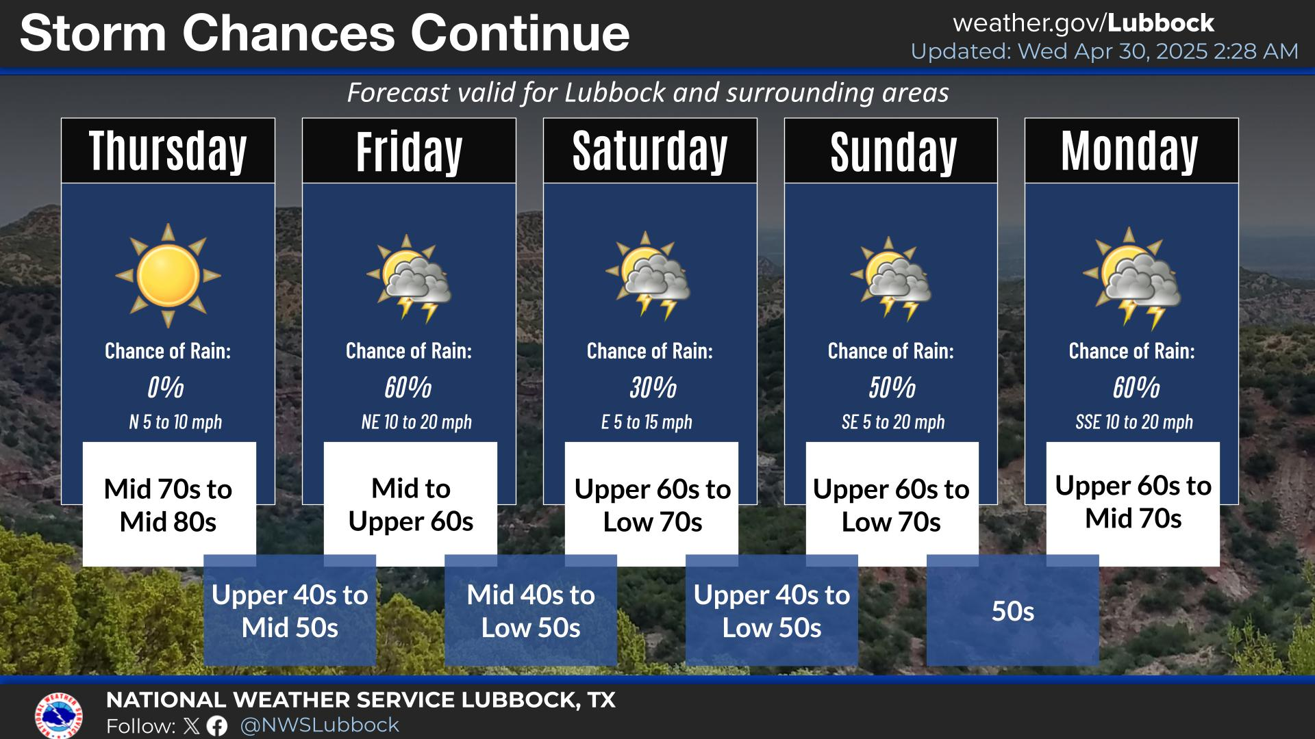
Unsettled weather will continue Sunday through next week with chances for thunderstorms each day. Cooler temperatures arrive on Monday and continue through the rest of the week.


Local Weather History For May 24th...
1960: An F3 tornado damaged three houses in the community of Glenn (northern Dickens County) at 6:27 PM. A 15-foot wide
section of highway was torn up to about two inches deep. Some livestock were killed and several phone lines were downed.
Fortunately, no injuries were reported.