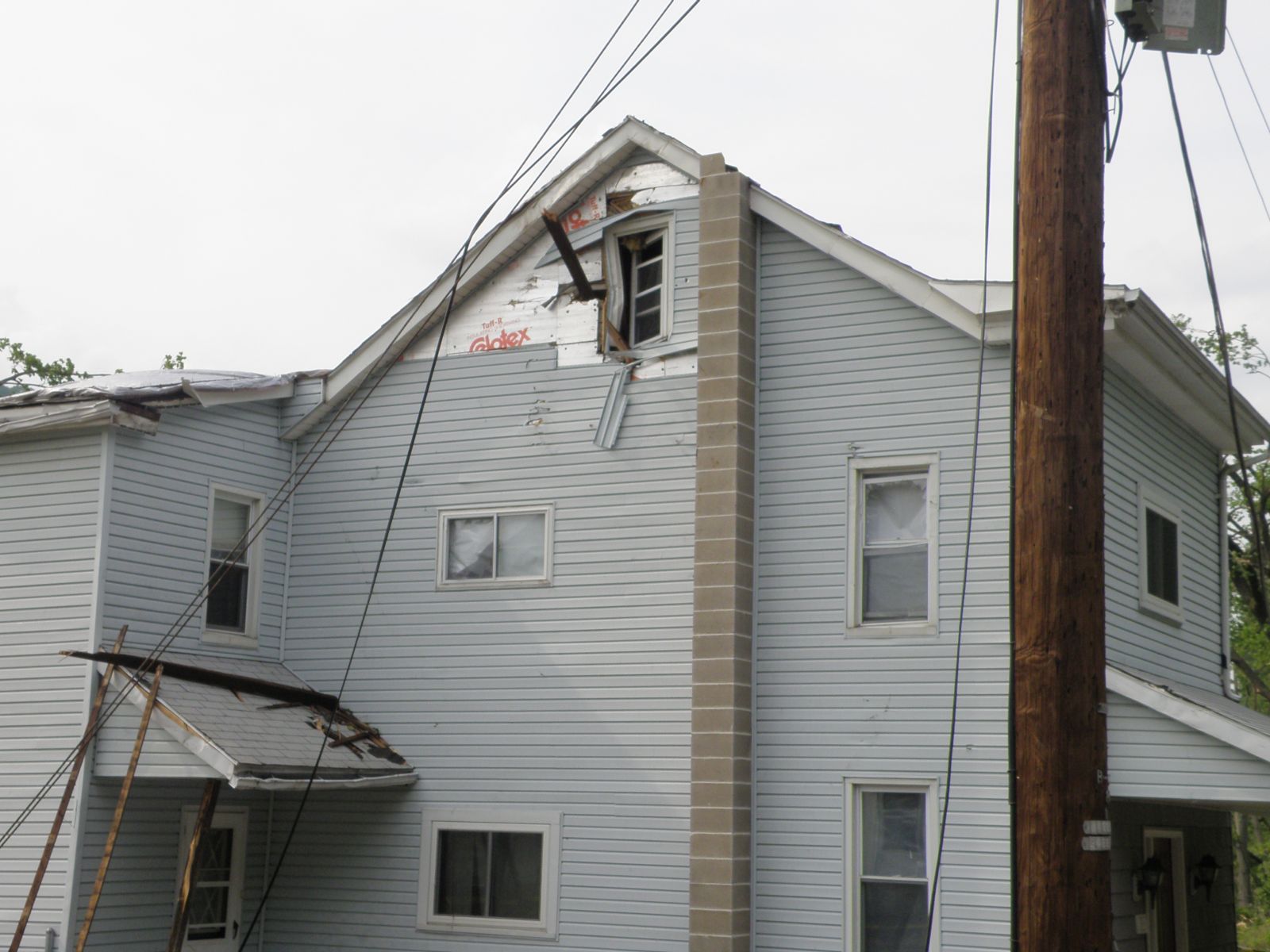
Overview
|
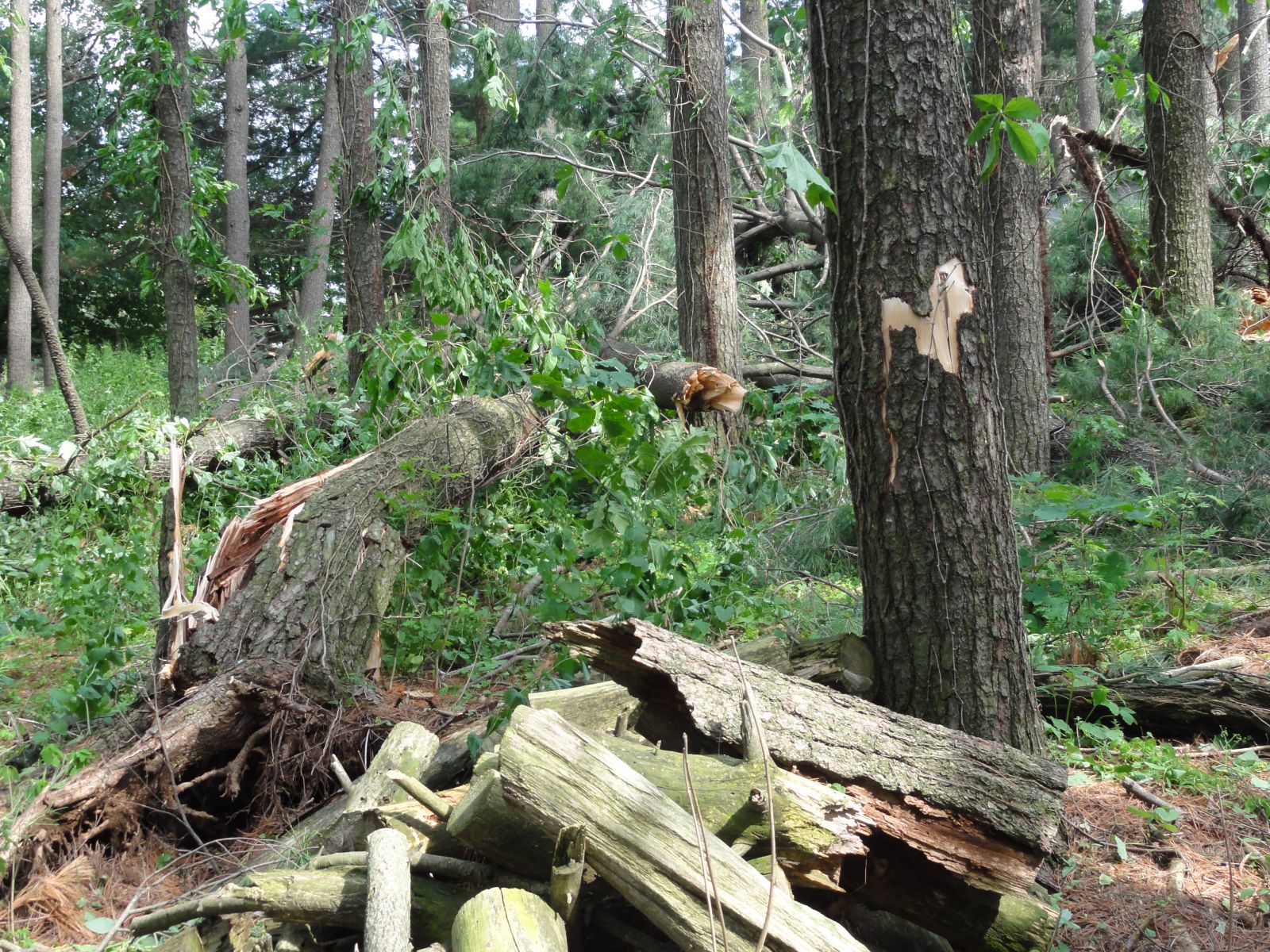
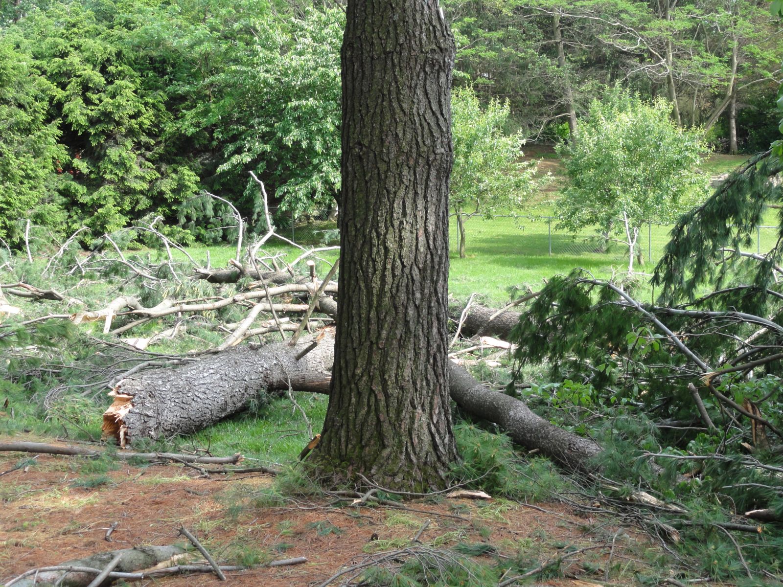
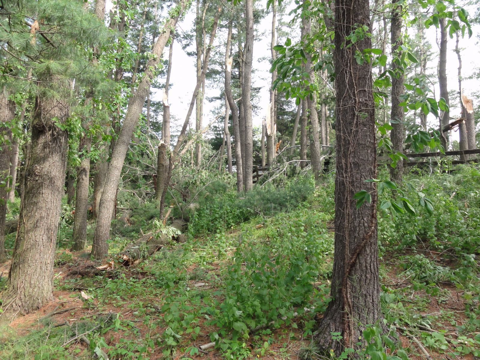
The six tornadoes in Central PA on May 26th, 2011. |
Caption |
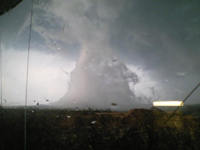
Tornadoes
|
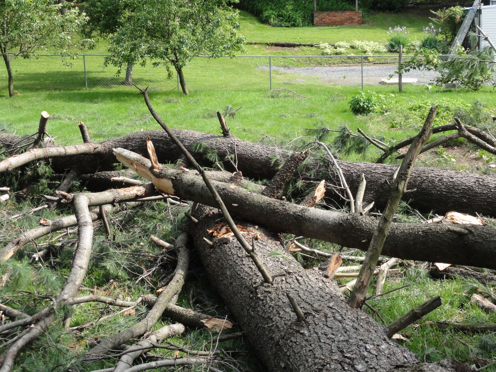
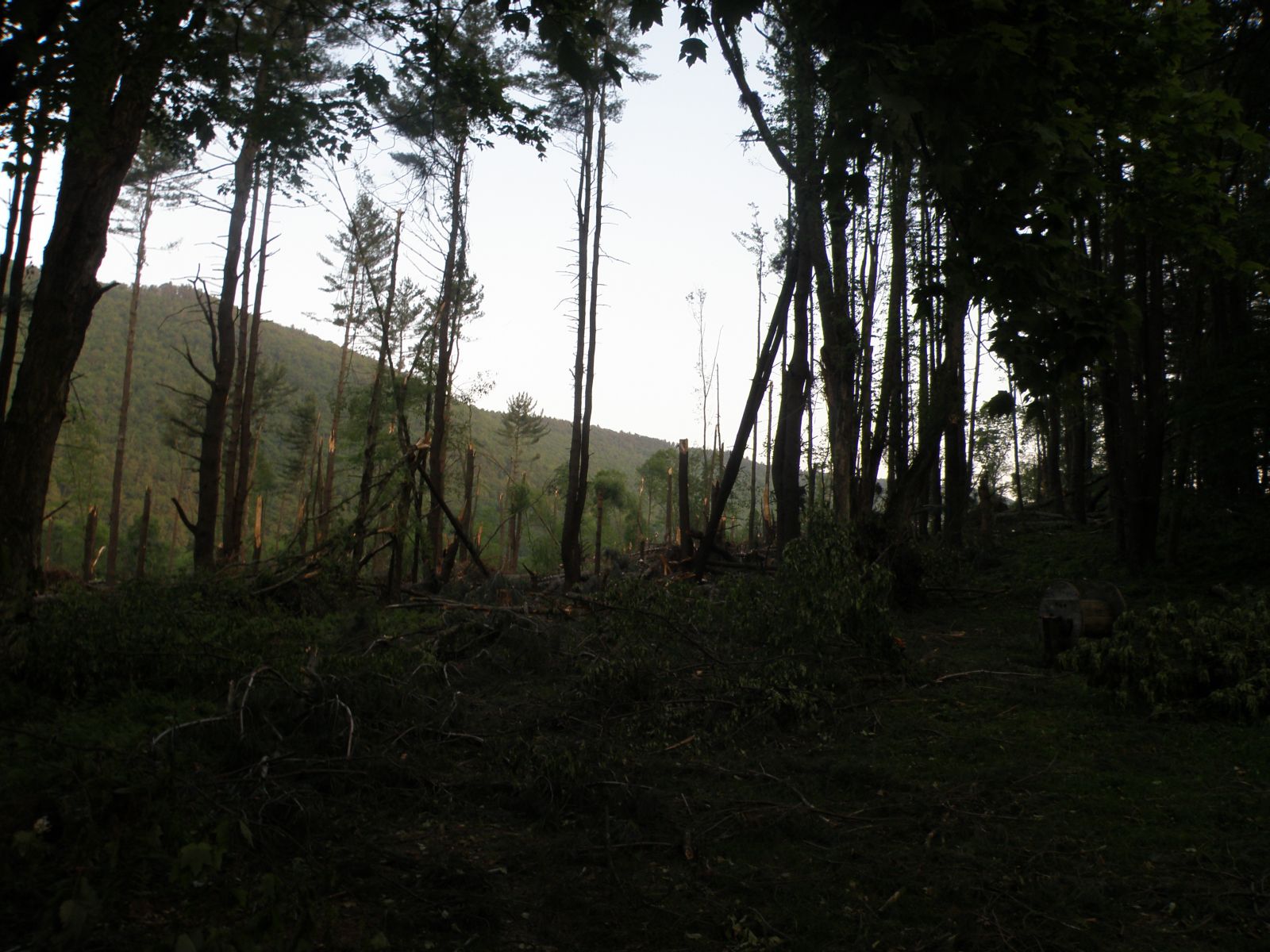
Tornado - New Franklin
Track Map 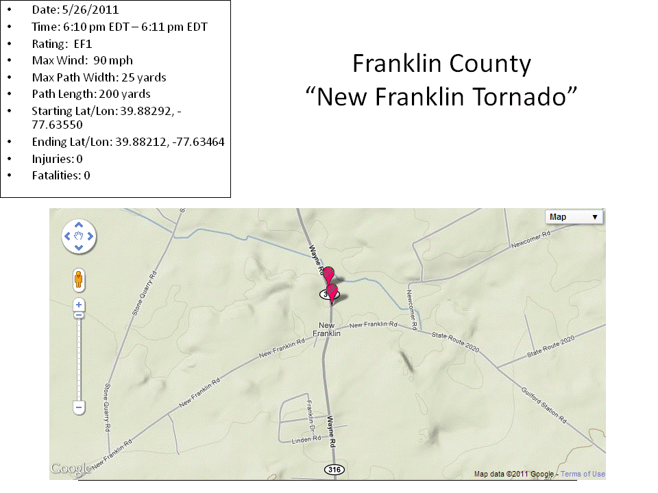  |
||||||||||||||||
|
||||||||||||||||
|
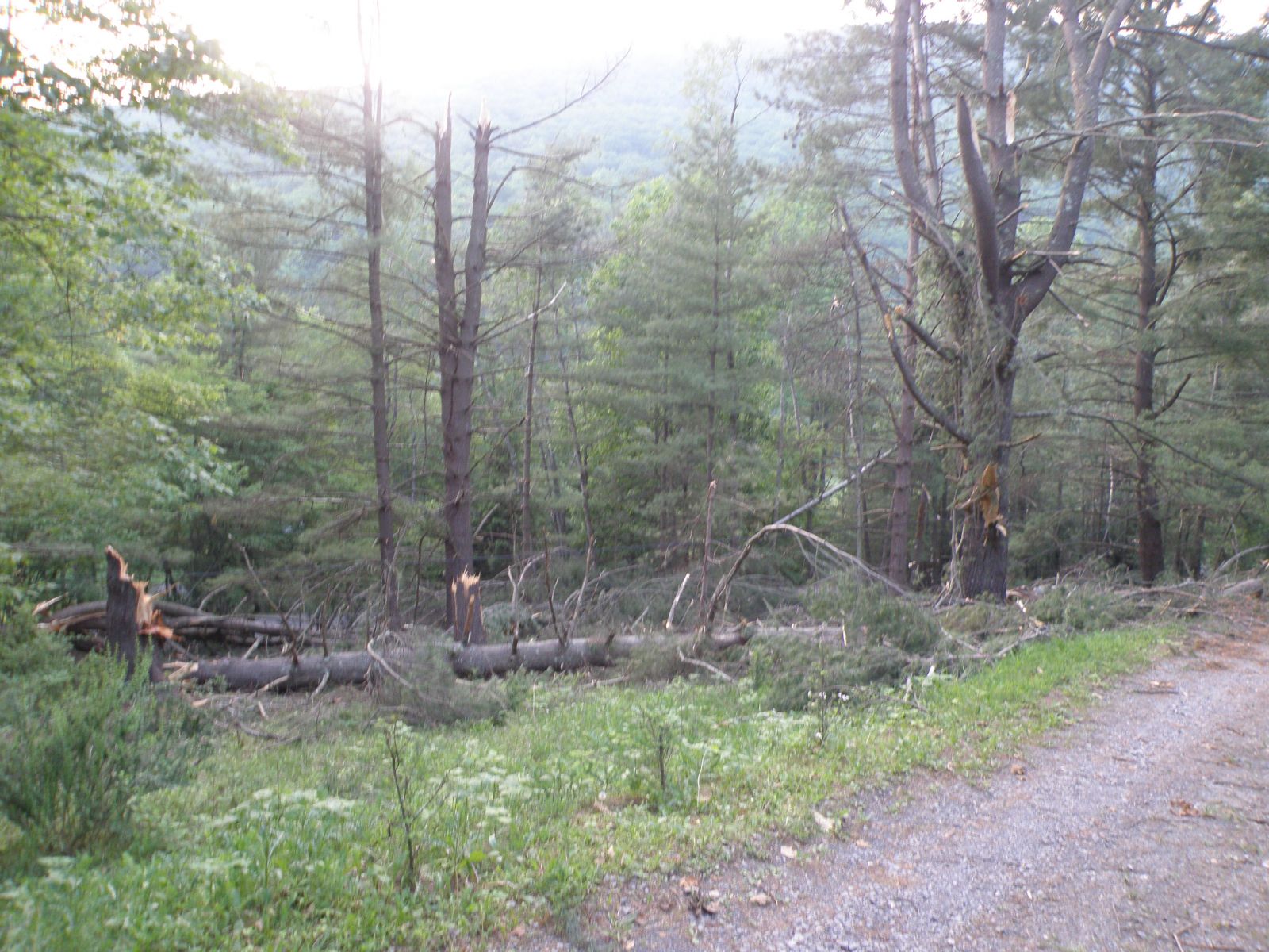
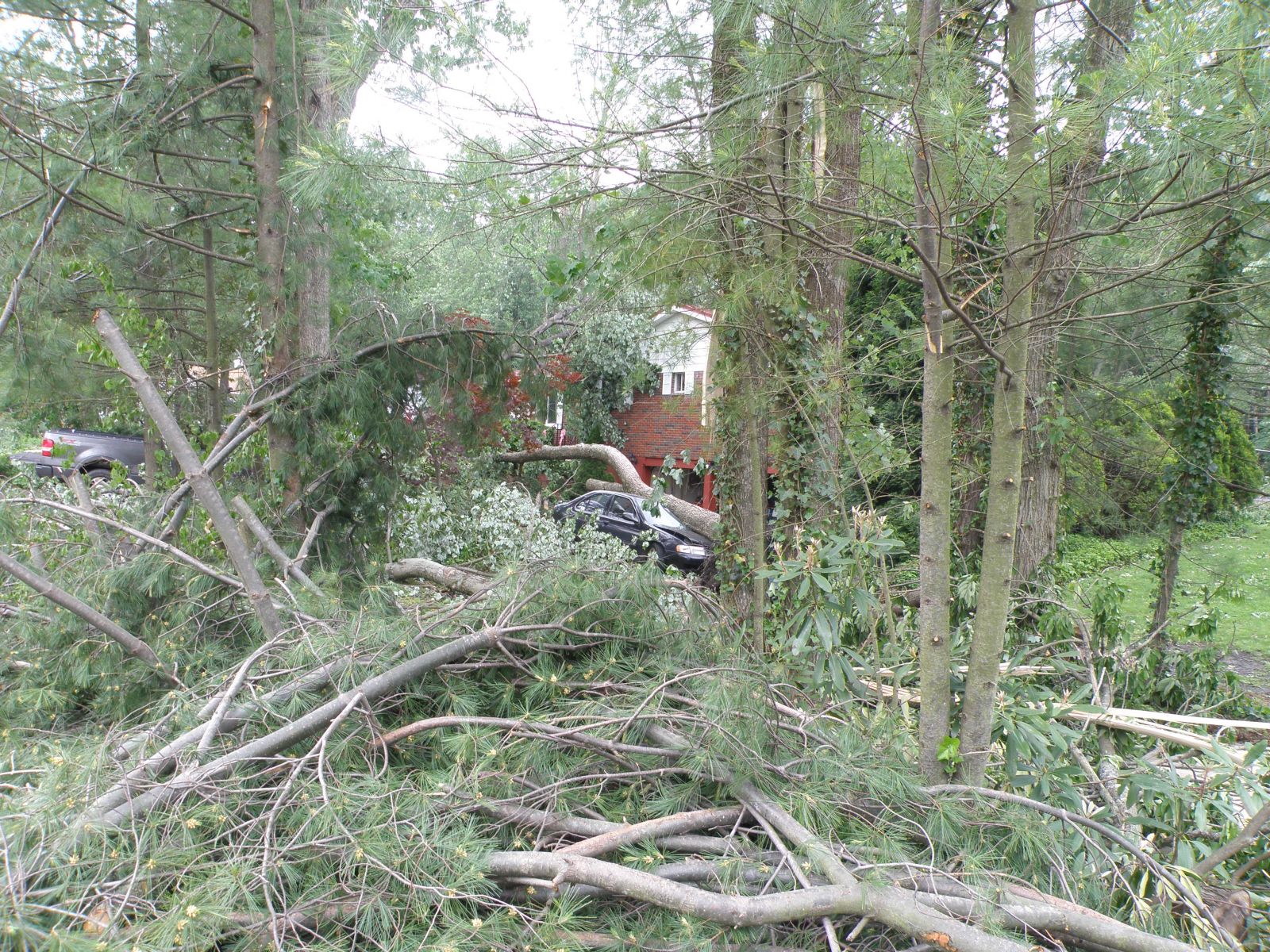
Tornado - Slate Run
Track Map .gif) |
||||||||||||||||||
|
||||||||||||||||||
|
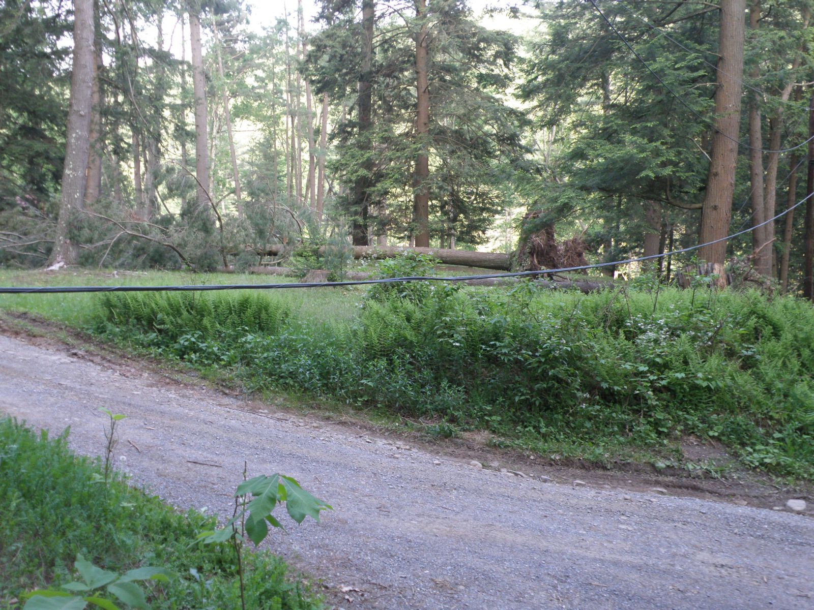
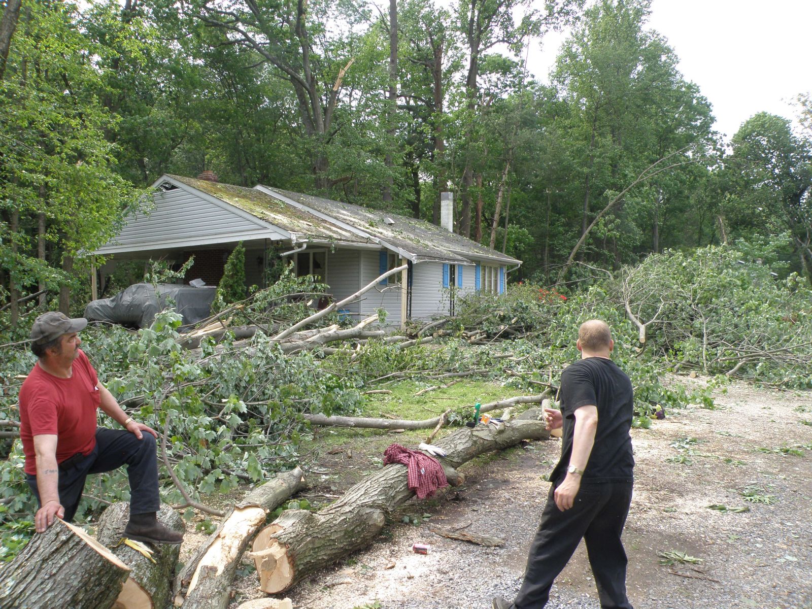
Tornado - Cammal
Track Map .gif)
|
||||||||||||||||
|
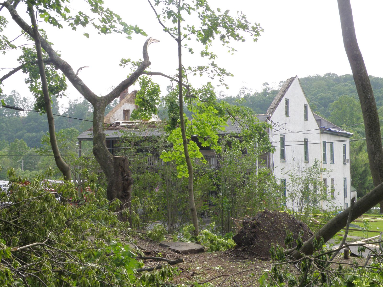
Tornado - Marysville/Dauphin Boro
Track Map .gif) |
||||||||||||||||
|
Tornado - Hogestown
Track Map .gif) |
||||||||||||||||
|
Tornado - Schuylkill Haven
Track Map .gif) |
||||||||||||||||||
|
||||||||||||||||||
The Enhanced Fujita (EF) Scale classifies tornadoes into the following categories:
| EF0 Weak 65-85 mph |
EF1 Moderate 86-110 mph |
EF2 Significant 111-135 mph |
EF3 Severe 136-165 mph |
EF4 Extreme 166-200 mph |
EF5 Catastrophic 200+ mph |
 |
|||||
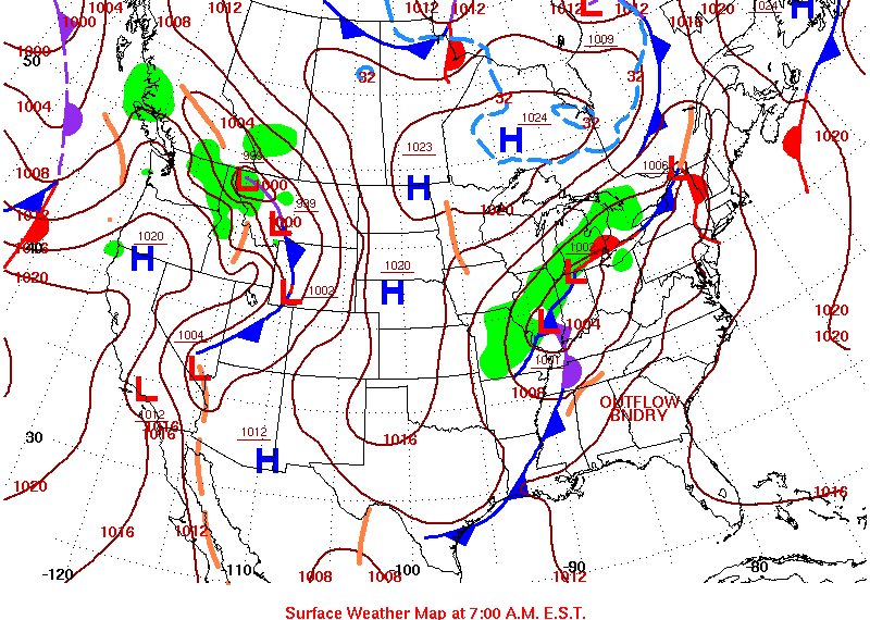
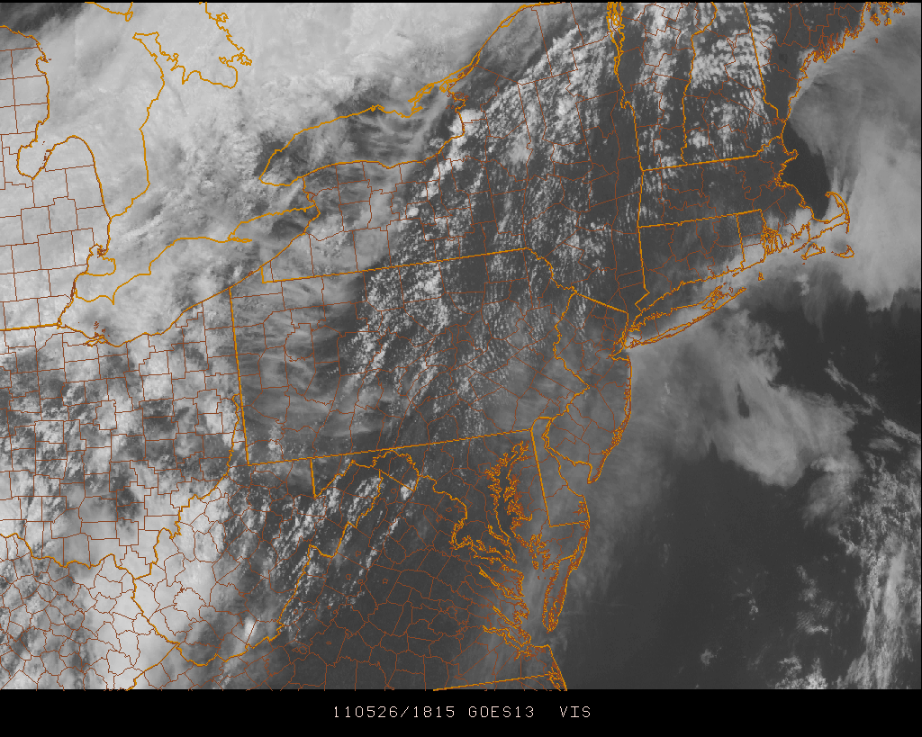
Environment
 |
 |
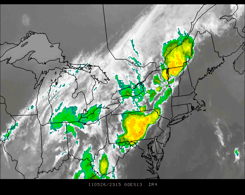 |
| Figure 1: Surface Map morning of May 26th, 2011 | Figure 2: Visible Satellite 2:15 PM EDT May 26th, 2011 | Figure 3: Infrared Satellite 7:15 PM EDT May 26th, 2011 |
.gif) |
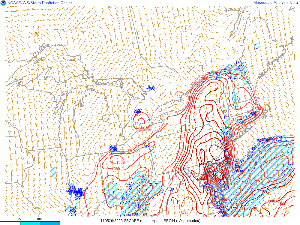 |
| Figure 4: Upper Air Balloon Sounding 8:00 PM May 26th, 2011 | Figure 5: CAPE/CIN 4:05 PM EDT May 26th, 2011 |
 |
Media use of NWS Web News Stories is encouraged! Please acknowledge the NWS as the source of any news information accessed from this site. |
|


 Send Us a Report